Estimated Value: $298,431 - $339,000
3
Beds
3
Baths
1,712
Sq Ft
$182/Sq Ft
Est. Value
About This Home
This home is located at 1110 Saint Andrews Ct, Akron, OH 44312 and is currently estimated at $311,858, approximately $182 per square foot. 1110 Saint Andrews Ct is a home located in Summit County with nearby schools including Greenwood Elementary School, Green Intermediate Elementary School, and Green Primary School.
Ownership History
Date
Name
Owned For
Owner Type
Purchase Details
Closed on
Jun 24, 2018
Sold by
Belenski Julianne and Read Donald H
Bought by
Geffken Sharon L and Sanders Robert W
Current Estimated Value
Purchase Details
Closed on
May 18, 2005
Sold by
Fieldstone Villages Llc
Bought by
Sanders Robert W and Geffken Sharon L
Home Financials for this Owner
Home Financials are based on the most recent Mortgage that was taken out on this home.
Original Mortgage
$187,400
Interest Rate
6.05%
Mortgage Type
Purchase Money Mortgage
Create a Home Valuation Report for This Property
The Home Valuation Report is an in-depth analysis detailing your home's value as well as a comparison with similar homes in the area
Home Values in the Area
Average Home Value in this Area
Purchase History
| Date | Buyer | Sale Price | Title Company |
|---|---|---|---|
| Geffken Sharon L | -- | Buckeye Reserve Title Agency | |
| Sanders Robert W | $220,539 | Buckeye Reserve Title Agency |
Source: Public Records
Mortgage History
| Date | Status | Borrower | Loan Amount |
|---|---|---|---|
| Closed | Sanders Robert W | $187,400 |
Source: Public Records
Tax History Compared to Growth
Tax History
| Year | Tax Paid | Tax Assessment Tax Assessment Total Assessment is a certain percentage of the fair market value that is determined by local assessors to be the total taxable value of land and additions on the property. | Land | Improvement |
|---|---|---|---|---|
| 2025 | $3,629 | $76,206 | $13,689 | $62,517 |
| 2024 | $3,629 | $76,206 | $13,689 | $62,517 |
| 2023 | $3,629 | $76,206 | $13,689 | $62,517 |
| 2022 | $3,315 | $62,465 | $11,221 | $51,244 |
| 2021 | $3,111 | $62,465 | $11,221 | $51,244 |
| 2020 | $3,052 | $62,460 | $11,220 | $51,240 |
| 2019 | $3,107 | $59,630 | $11,220 | $48,410 |
| 2018 | $2,836 | $52,940 | $4,530 | $48,410 |
Source: Public Records
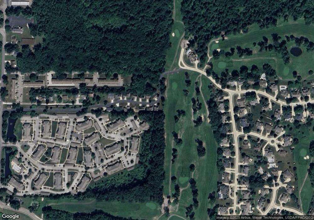
Map
Nearby Homes
- 2872 Ironwood Dr
- 1292 Ashwood Rd
- 1254 Maxfli Dr
- 1096 Cookhill Cir Unit 50
- 0 Fortuna Dr Unit 5005346
- 2802 Hartford Ln
- 1188 Cookhill Cir Unit 21
- 0 Fortuna Dr
- 1475 Camden Ridge Blvd
- 1242 Bexley Cir
- S/L 43 Park Ave
- 1372 Park Ave
- 960 Impala Dr
- 652 Bobwhite Trail
- 3108 Vermont Place
- 3109 Vermont Place
- 3117 Vermont Place
- 1457 5th Ave
- 1134 E Turkeyfoot Lake Rd
- 1464 5th Ave
- 1102 Saint Andrews Ct Unit 3
- 1113 St Andrews
- 1113 Saint Andrews Ct Unit 1
- 1101 Saint Andrews Ct Unit 7
- 1094 Saint Andrews Ct Unit 4
- 1093 Saint Andrew's Ct Unit 6
- 1093 Saint Andrews Ct Unit 6
- 1085 Saint Andrews Ct Unit 5
- 1077 Saint Andrews Ct
- 1070 Saint Andrew's Ct
- 1070 St Andrews Ct
- 1061 St Andrews Ct
- 1071 Saint Andrews Ct
- 1061 Saint Andrew's Ct
- 1054 Saint Andrews Ct Unit 12
- 1078 Saint Andrews Ct
- 2852 Ironwood Dr
- 2862 Ironwood Dr
- Lot 10 Saint Andrew's Ct
- Lot 13 Saint Andrew's Ct