1110 W Main St Robins, IA 52328
Estimated Value: $354,000 - $519,551
5
Beds
1
Bath
2,517
Sq Ft
$177/Sq Ft
Est. Value
About This Home
This home is located at 1110 W Main St, Robins, IA 52328 and is currently estimated at $444,888, approximately $176 per square foot. 1110 W Main St is a home located in Linn County with nearby schools including Hiawatha Elementary School, Harding Middle School, and John F. Kennedy High School.
Ownership History
Date
Name
Owned For
Owner Type
Purchase Details
Closed on
Aug 30, 2007
Sold by
Lumm Larry L and Lumm Carolyn H
Bought by
Ohara Timothy M and Ohara Rosemary E S
Current Estimated Value
Home Financials for this Owner
Home Financials are based on the most recent Mortgage that was taken out on this home.
Original Mortgage
$176,000
Interest Rate
6.79%
Mortgage Type
Purchase Money Mortgage
Create a Home Valuation Report for This Property
The Home Valuation Report is an in-depth analysis detailing your home's value as well as a comparison with similar homes in the area
Home Values in the Area
Average Home Value in this Area
Purchase History
| Date | Buyer | Sale Price | Title Company |
|---|---|---|---|
| Ohara Timothy M | $219,500 | None Available |
Source: Public Records
Mortgage History
| Date | Status | Borrower | Loan Amount |
|---|---|---|---|
| Closed | Ohara Timothy M | $176,000 |
Source: Public Records
Tax History
| Year | Tax Paid | Tax Assessment Tax Assessment Total Assessment is a certain percentage of the fair market value that is determined by local assessors to be the total taxable value of land and additions on the property. | Land | Improvement |
|---|---|---|---|---|
| 2025 | $5,452 | $435,200 | $85,900 | $349,300 |
| 2024 | $5,004 | $431,700 | $85,900 | $345,800 |
| 2023 | $5,004 | $431,700 | $85,900 | $345,800 |
| 2022 | $5,326 | $344,000 | $85,900 | $258,100 |
| 2021 | $5,182 | $344,000 | $85,900 | $258,100 |
| 2020 | $5,182 | $311,400 | $85,900 | $225,500 |
| 2019 | $4,810 | $295,100 | $85,900 | $209,200 |
Source: Public Records
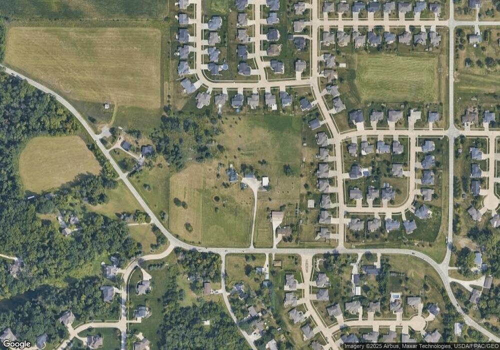
Map
Nearby Homes
- 1915 Kaylin Ct
- 130 Woodland Ct
- 70.78 Acres M/L Quass Rd
- 26.35 Acres M/L Quass Rd
- 1917 Kaylin Ct
- 1920 Kaylin Ct
- 0 70 78 Acres M L Quass Rd
- 1940 Kaylin Ct
- 195 Morgan Ct
- 1970 Kaylin Ct
- 1975 Kaylin Ct
- 0 28 72 Acres N Center Point Rd
- 39.69 Acres M/L N Center Point Rd
- 28.72 Acres M/L N Center Point Rd
- 8.98 Acres M/L N Center Point Rd
- 0 Rd
- 0 26 35 Acres M L Quass Rd
- 0 8 98 Acres M L N Center Point Rd Unit 2507297
- 3230 N Center Point Rd Unit Lot 3
- 2965 Trailside Dr
- 935 Tamarac Ln
- 1000 W Main St
- 945 Tamarac Ln
- 925 Tamarac Ln
- 955 Tamarac Ln
- 915 Tamarac Ln
- 255 White Pine St
- 235 White Pine St
- 275 White Pine St
- 1540 W Main St
- 205 White Pine St
- 285 White Pine St
- 905 Tamarac Ln
- 1105 W Main St
- 175 White Pine St
- 295 White Pine St
- 365 Ascot Ln
- 335 White Pine St
- 155 White Pine St
- 375 Kilbirnie Rd
Your Personal Tour Guide
Ask me questions while you tour the home.