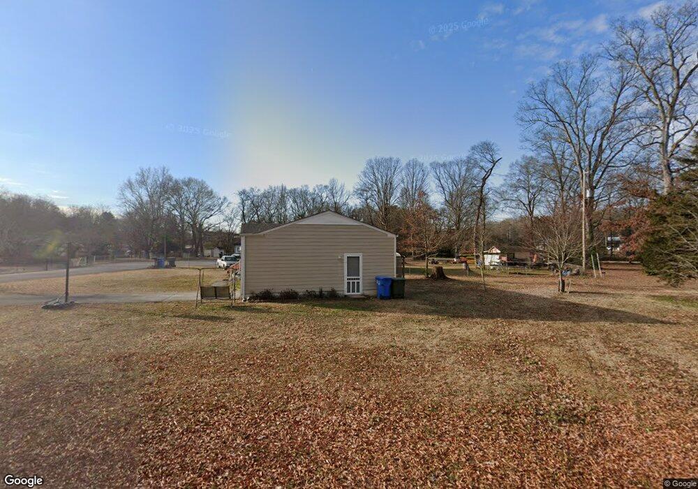
1111 Cranbrook Dr Hixson, TN 37343
Dupont NeighborhoodEstimated Value: $183,476 - $260,000
--
Bed
--
Bath
1,008
Sq Ft
$227/Sq Ft
Est. Value
About This Home
This home is located at 1111 Cranbrook Dr, Hixson, TN 37343 and is currently estimated at $229,119, approximately $227 per square foot. 1111 Cranbrook Dr is a home located in Hamilton County with nearby schools including DuPont Elementary School, St Jude School, and St. Peter's Episcopal School.
Ownership History
Date
Name
Owned For
Owner Type
Purchase Details
Closed on
Feb 19, 2003
Sold by
Ford J P and Schwichtenberg Louise
Bought by
Malone Shawn J and Malone Dana
Current Estimated Value
Home Financials for this Owner
Home Financials are based on the most recent Mortgage that was taken out on this home.
Original Mortgage
$68,000
Outstanding Balance
$29,080
Interest Rate
5.93%
Mortgage Type
Purchase Money Mortgage
Estimated Equity
$200,039
Create a Home Valuation Report for This Property
The Home Valuation Report is an in-depth analysis detailing your home's value as well as a comparison with similar homes in the area
Home Values in the Area
Average Home Value in this Area
Purchase History
| Date | Buyer | Sale Price | Title Company |
|---|---|---|---|
| Malone Shawn J | $85,000 | -- |
Source: Public Records
Mortgage History
| Date | Status | Borrower | Loan Amount |
|---|---|---|---|
| Open | Malone Shawn J | $68,000 | |
| Closed | Malone Shawn J | $17,000 |
Source: Public Records
Tax History Compared to Growth
Tax History
| Year | Tax Paid | Tax Assessment Tax Assessment Total Assessment is a certain percentage of the fair market value that is determined by local assessors to be the total taxable value of land and additions on the property. | Land | Improvement |
|---|---|---|---|---|
| 2024 | $646 | $28,875 | $0 | $0 |
| 2023 | $646 | $28,875 | $0 | $0 |
| 2022 | $646 | $28,875 | $0 | $0 |
| 2021 | $646 | $28,875 | $0 | $0 |
| 2020 | $644 | $23,300 | $0 | $0 |
| 2019 | $644 | $23,300 | $0 | $0 |
| 2018 | $657 | $23,300 | $0 | $0 |
| 2017 | $644 | $23,300 | $0 | $0 |
| 2016 | $581 | $0 | $0 | $0 |
| 2015 | $1,182 | $21,025 | $0 | $0 |
| 2014 | $1,182 | $0 | $0 | $0 |
Source: Public Records
Map
Nearby Homes
- 1329 Highland Way
- 955 Brynwood Dr
- 1237 Cranbrook Dr
- 410 Bardwood Ln
- 1325 Highland Rd
- 1328 Highland Rd
- 961 Ashland Terrace
- 4609 Plaza Hills Ln
- 4706 Eldridge Rd
- 1716 Strawberry Ln
- 1313 Michael Ln
- 3609 Forest Highland Dr
- 810 Forest Dale Ln
- 3944 Azalean Dr
- 4529 Sherry Ln
- 1638 Green Hill Dr
- 1004 Brynehill Ln
- 4607 Cloverdale Loop
- 1216 Clermont Dr
- 3802 Jarren Ct
- 1113 Cranbrook Dr
- 1109 Cranbrook Dr
- 1115 Cranbrook Dr
- 1105 Cranbrook Dr
- 1107 Cranbrook Dr
- 1117 Cranbrook Dr
- 4306 Norcross Rd
- 1405 Ely Rd
- 4318 Norcross Rd
- 1103 Cranbrook Dr
- 1112 Cranbrook Dr
- 1103 Cranbrook Dr
- 1415 Ely Rd
- 1110 Cranbrook Dr
- 1417 Ely Rd
- 4316 Norcross Rd
- 1413 Ely Rd
- 1108 Cranbrook Dr
- 1119 Cranbrook Dr
- 4314 Norcross Rd