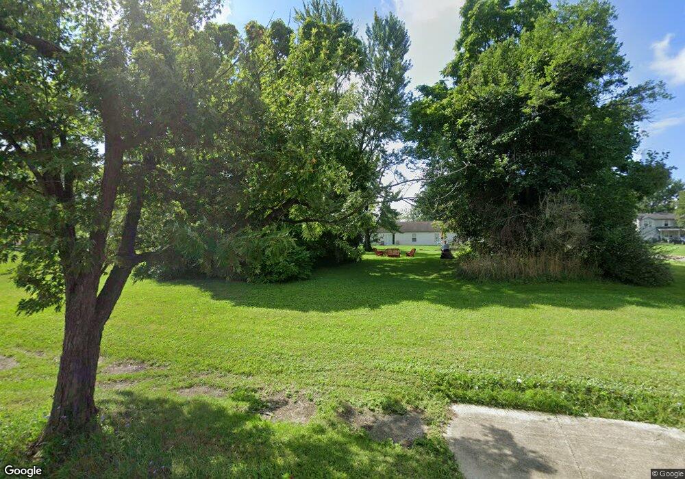
1111 E Patterson St Alliance, OH 44601
Estimated Value: $110,000
Studio
--
Bath
--
Sq Ft
4,879
Sq Ft Lot
About This Home
This home is located at 1111 E Patterson St, Alliance, OH 44601 and is currently estimated at $110,000. 1111 E Patterson St is a home located in Stark County with nearby schools including Alliance Early Learning School, Alliance Intermediate School at Northside, and Alliance Middle School.
Ownership History
Date
Name
Owned For
Owner Type
Purchase Details
Closed on
Jan 30, 2024
Sold by
Stark Cnty Land Reutilization
Bought by
King Michael A
Current Estimated Value
Purchase Details
Closed on
Nov 29, 2023
Sold by
Sheriff Of Stark County
Bought by
Stark Cnty Land Reutilization
Purchase Details
Closed on
Apr 23, 2009
Sold by
Heartwood 88 Llc
Bought by
Seg Commercial Llc
Purchase Details
Closed on
Oct 17, 2006
Sold by
Estate Of Jessie Lee Mainor
Bought by
Heartwood 88 Llc
Create a Home Valuation Report for This Property
The Home Valuation Report is an in-depth analysis detailing your home's value as well as a comparison with similar homes in the area
Home Values in the Area
Average Home Value in this Area
Purchase History
| Date | Buyer | Sale Price | Title Company |
|---|---|---|---|
| King Michael A | -- | None Listed On Document | |
| Stark Cnty Land Reutilization | -- | None Listed On Document | |
| Seg Commercial Llc | $1,000 | None Available | |
| Heartwood 88 Llc | $3,814 | None Available |
Source: Public Records
Tax History
| Year | Tax Paid | Tax Assessment Tax Assessment Total Assessment is a certain percentage of the fair market value that is determined by local assessors to be the total taxable value of land and additions on the property. | Land | Improvement |
|---|---|---|---|---|
| 2025 | -- | $1,370 | $1,370 | -- |
| 2024 | -- | $1,540 | $1,540 | -- |
| 2023 | $6,618 | $280 | $280 | $0 |
| 2022 | $362 | $280 | $280 | $0 |
| 2021 | $512 | $280 | $280 | $0 |
| 2020 | $359 | $210 | $210 | $0 |
| 2019 | $2,009 | $210 | $210 | $0 |
Source: Public Records
Map
Nearby Homes
- 1226 Noble St
- 847 E Patterson St
- 1025 Reed St
- 442 S Liberty Ave
- V/L S Freedom Ave
- 361 E Main St
- 955 E Summit St
- 16190 River St NE
- 22862 Norman Ave
- 452 E Summit St
- 710 N Freedom Ave
- 62 E Market St
- 935 S Morgan Ave
- 000 Lexington Rd
- 726 S Arch Ave
- 62 E High St
- 505 N Union Ave
- 15832 Waverly St NE
- 0 E Oxford St
- 427 S Union Ave
- 1127 E Patterson St
- 1108 Jersey St
- 1039 E Patterson St
- 1100 E Patterson St
- 130 Oak Ave
- 1130 E Patterson St
- 1130 1134 E Patterson St
- 1108 E Patterson St
- 1128 E Patterson St
- 1028 Jersey St
- 1040 E Patterson St
- 1146 E Patterson St
- 1204 Jersey St
- 224 Oak Ave
- 1026 E Patterson St
- 0 Jersey St
- 1027 Jersey St
- 1012 Jersey St
- 1020 E Patterson St
- 1135 Jersey St
Your Personal Tour Guide
Ask me questions while you tour the home.