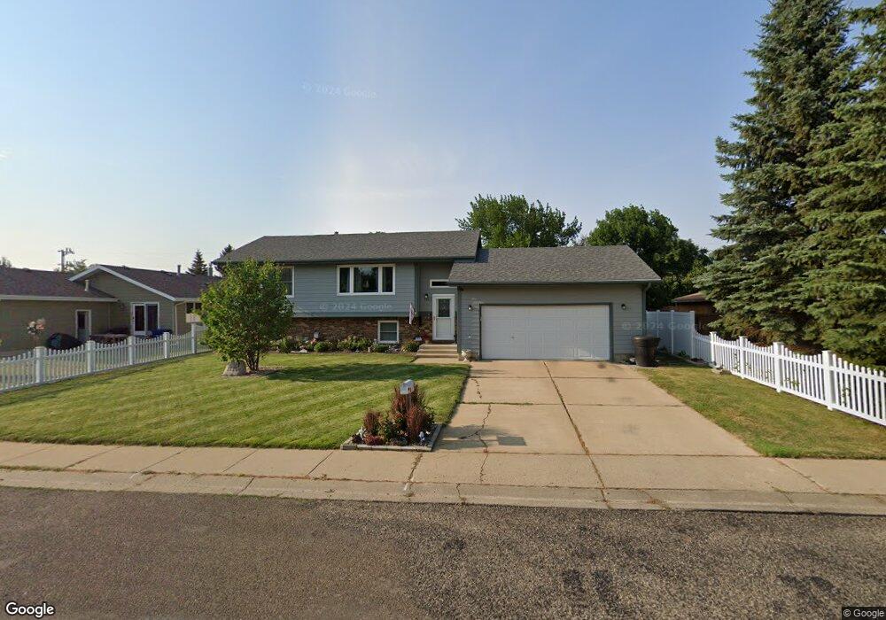
1111 Hoover St Dickinson, ND 58601
Estimated Value: $287,000 - $344,000
4
Beds
1
Bath
974
Sq Ft
$328/Sq Ft
Est. Value
About This Home
This home is located at 1111 Hoover St, Dickinson, ND 58601 and is currently estimated at $319,503, approximately $328 per square foot. 1111 Hoover St is a home located in Stark County with nearby schools including Invitation Hill Adventist School.
Ownership History
Date
Name
Owned For
Owner Type
Purchase Details
Closed on
Apr 7, 2006
Sold by
Rau Wayne C
Bought by
Rau Wayne C and Rau Gloriea L
Current Estimated Value
Purchase Details
Closed on
May 13, 2005
Sold by
Skretteberg Jacinta and Skretteberg Chad
Bought by
Rau Wayne
Home Financials for this Owner
Home Financials are based on the most recent Mortgage that was taken out on this home.
Original Mortgage
$132,900
Interest Rate
5.37%
Mortgage Type
FHA
Create a Home Valuation Report for This Property
The Home Valuation Report is an in-depth analysis detailing your home's value as well as a comparison with similar homes in the area
Home Values in the Area
Average Home Value in this Area
Purchase History
| Date | Buyer | Sale Price | Title Company |
|---|---|---|---|
| Rau Wayne C | -- | None Available | |
| Rau Wayne | -- | None Available |
Source: Public Records
Mortgage History
| Date | Status | Borrower | Loan Amount |
|---|---|---|---|
| Previous Owner | Rau Wayne | $132,900 |
Source: Public Records
Tax History Compared to Growth
Tax History
| Year | Tax Paid | Tax Assessment Tax Assessment Total Assessment is a certain percentage of the fair market value that is determined by local assessors to be the total taxable value of land and additions on the property. | Land | Improvement |
|---|---|---|---|---|
| 2024 | $2,271 | $226,900 | $28,900 | $198,000 |
| 2023 | $2,012 | $226,900 | $28,900 | $198,000 |
| 2022 | $1,911 | $96,050 | $0 | $0 |
| 2021 | $1,847 | $179,500 | $28,900 | $150,600 |
| 2020 | $1,872 | $179,500 | $28,900 | $150,600 |
| 2019 | $1,877 | $179,500 | $28,900 | $150,600 |
| 2017 | $1,779 | $187,000 | $28,900 | $158,100 |
| 2015 | $1,779 | $203,200 | $28,200 | $175,000 |
| 2014 | $1,866 | $197,300 | $28,200 | $169,100 |
| 2013 | -- | $190,800 | $28,200 | $162,600 |
Source: Public Records
Map
Nearby Homes
- 930 Shinagle Dr
- 927 Shinagle Dr
- 0 9th St E
- 0 14th Ave E Unit 25-201
- 0 14th Ave E Unit 24-492
- 731 Baker Ave
- 973 Dell Ave
- 886 Cherry Ave
- 1161 6th St E
- 832 Elm Ave
- 825 Dell Ave
- 1071 Lincoln St
- 279 Baker Ave
- 985 Mustang Ave
- 661 11th St E
- 691 17th Ave E
- 359 9th Ave E
- 625 8th St E
- 618 16th Ave E
- 662 13th St E
- 1119 Hoover St
- 984 Shinagle Dr
- 1110 10th St E
- 1118 10th St E
- 996 Shinagle Dr
- 1127 Hoover St
- 1112 Hoover St
- 1120 Hoover St
- 977 Shinagle Dr
- 1126 10th St E
- 968 Shinagle Dr
- 1130 Hoover St
- 995 Shinagle Dr
- 971 Shinagle Dr
- 965 Shinagle Dr
- 1115 Garfield St
- 1125 Garfield St
- 959 Shinagle Dr
- 953 Shinagle Dr
- 942 Shinagle Dr