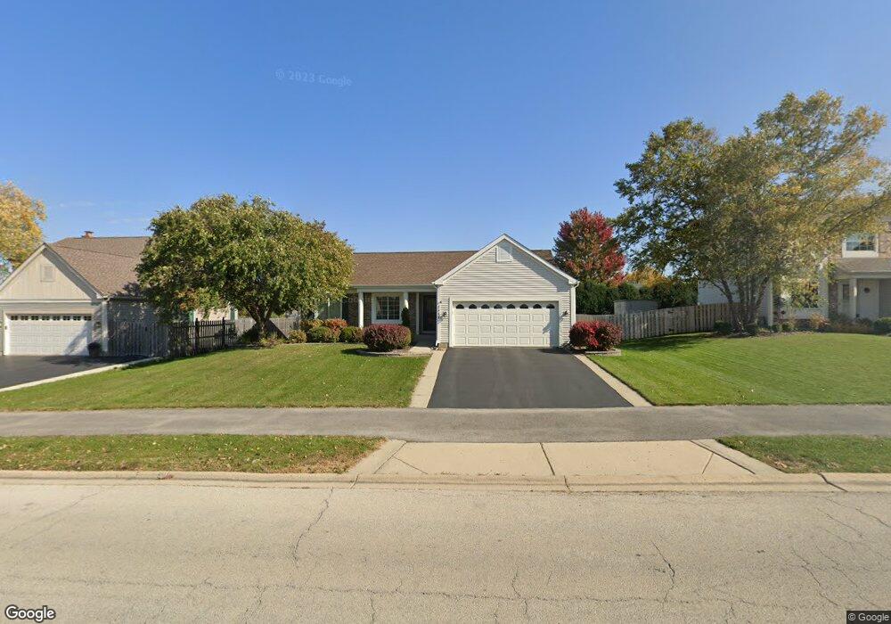
1111 Stonegate Rd Algonquin, IL 60102
Estimated Value: $330,664 - $450,000
Studio
--
Bath
1,333
Sq Ft
$286/Sq Ft
Est. Value
About This Home
This home is located at 1111 Stonegate Rd, Algonquin, IL 60102 and is currently estimated at $381,666, approximately $286 per square foot. 1111 Stonegate Rd is a home located in McHenry County with nearby schools including Westfield Community School, Kenneth E Neubert Elementary School, and Harry D Jacobs High School.
Ownership History
Date
Name
Owned For
Owner Type
Purchase Details
Closed on
Nov 22, 1996
Sold by
Pulte Home Corp
Bought by
Labuda Richard M and Labuda Helen M
Current Estimated Value
Home Financials for this Owner
Home Financials are based on the most recent Mortgage that was taken out on this home.
Original Mortgage
$109,000
Outstanding Balance
$10,600
Interest Rate
7.94%
Estimated Equity
$371,066
Create a Home Valuation Report for This Property
The Home Valuation Report is an in-depth analysis detailing your home's value as well as a comparison with similar homes in the area
Purchase History
| Date | Buyer | Sale Price | Title Company |
|---|---|---|---|
| Labuda Richard M | $169,500 | 1St American Title |
Source: Public Records
Mortgage History
| Date | Status | Borrower | Loan Amount |
|---|---|---|---|
| Open | Labuda Richard M | $109,000 |
Source: Public Records
Tax History
| Year | Tax Paid | Tax Assessment Tax Assessment Total Assessment is a certain percentage of the fair market value that is determined by local assessors to be the total taxable value of land and additions on the property. | Land | Improvement |
|---|---|---|---|---|
| 2024 | $7,415 | $102,793 | $26,298 | $76,495 |
| 2023 | $7,026 | $91,935 | $23,520 | $68,415 |
| 2022 | $7,581 | $94,403 | $22,049 | $72,354 |
| 2021 | $7,271 | $87,947 | $20,541 | $67,406 |
| 2020 | $7,079 | $84,834 | $19,814 | $65,020 |
| 2019 | $6,905 | $81,196 | $18,964 | $62,232 |
| 2018 | $6,578 | $75,008 | $17,519 | $57,489 |
| 2017 | $6,439 | $70,662 | $16,504 | $54,158 |
| 2016 | $6,338 | $66,274 | $15,479 | $50,795 |
| 2013 | -- | $64,012 | $14,440 | $49,572 |
Source: Public Records
Map
Nearby Homes
- 681 Majestic Dr
- 760 Regal Ln
- 2380 Dawson Ln Unit 165
- 1157 Sawmill Ln
- 1820 Crofton Dr
- 1920 Jester Ln
- 700 Fairfield Ln
- 1002 Interloch Ct Unit 152
- 2051 Carlisle St
- 145 S Oakleaf Rd
- 20 Peach Tree Ct Unit 4153
- 18 Peach Tree Ct Unit 4154
- 7 Falcon Ridge Ct
- 2069 Peach Tree Ln Unit 4116
- 135 Arquilla Dr
- 1431 Essex St
- 1 N Hubbard St
- SWC Talaga and Algonquin Rd
- 14 Wander Way
- 1354 Essex St Unit 2
- 1121 Stonegate Rd
- 1101 Stonegate Rd
- 1102 Sawmill Ln
- 1131 Stonegate Rd
- 1104 Sawmill Ln
- 1100 Sawmill Ln
- 1106 Sawmill Ln
- 1110 Stonegate Rd
- 1120 Stonegate Rd
- 1141 Stonegate Rd
- 1100 Stonegate Rd
- 1130 Stonegate Rd
- 1108 Sawmill Ln
- 1151 Stonegate Rd
- 1140 Stonegate Rd
- 1103 Sawmill Ln
- 1110 Sawmill Ln
- 1105 Sawmill Ln
- 1101 Sawmill Ln
- 1111 Millcreek Ln
Your Personal Tour Guide
Ask me questions while you tour the home.