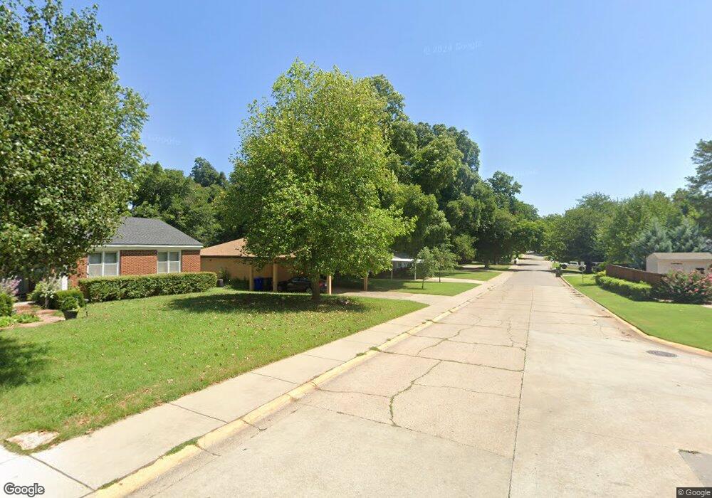
1111 W Brooks St Norman, OK 73069
Southwest Norman NeighborhoodEstimated Value: $306,886 - $418,000
4
Beds
2
Baths
2,207
Sq Ft
$163/Sq Ft
Est. Value
About This Home
This home is located at 1111 W Brooks St, Norman, OK 73069 and is currently estimated at $359,972, approximately $163 per square foot. 1111 W Brooks St is a home located in Cleveland County with nearby schools including McKinley Elementary School, Alcott Middle School, and Norman High School.
Ownership History
Date
Name
Owned For
Owner Type
Purchase Details
Closed on
Nov 19, 2021
Sold by
Dilks Richard L
Bought by
Dilks Richard L and Richard L Dilks Living Trust
Current Estimated Value
Purchase Details
Closed on
May 5, 2020
Sold by
Mary Le Lee
Bought by
Dilks Richard
Purchase Details
Closed on
Apr 29, 2020
Sold by
Mary Le Lee
Bought by
Dilks Richard
Purchase Details
Closed on
Aug 14, 2014
Sold by
Dilks Richard
Bought by
Dilks Richard and Dilks Mary Le
Create a Home Valuation Report for This Property
The Home Valuation Report is an in-depth analysis detailing your home's value as well as a comparison with similar homes in the area
Home Values in the Area
Average Home Value in this Area
Purchase History
| Date | Buyer | Sale Price | Title Company |
|---|---|---|---|
| Dilks Richard L | -- | None Available | |
| Dilks Richard | -- | None Listed On Document | |
| Dilks Richard | -- | None Listed On Document | |
| Dilks Richard | -- | None Available |
Source: Public Records
Tax History Compared to Growth
Tax History
| Year | Tax Paid | Tax Assessment Tax Assessment Total Assessment is a certain percentage of the fair market value that is determined by local assessors to be the total taxable value of land and additions on the property. | Land | Improvement |
|---|---|---|---|---|
| 2024 | $1,860 | $16,533 | $3,114 | $13,419 |
| 2023 | $1,807 | $16,051 | $2,400 | $13,651 |
| 2022 | $1,733 | $16,051 | $2,400 | $13,651 |
| 2021 | $1,827 | $16,051 | $2,400 | $13,651 |
| 2020 | $1,788 | $16,051 | $2,400 | $13,651 |
| 2019 | $1,791 | $15,821 | $2,400 | $13,421 |
| 2018 | $1,696 | $15,468 | $2,346 | $13,122 |
| 2017 | $1,661 | $15,821 | $0 | $0 |
| 2016 | $1,635 | $14,581 | $2,212 | $12,369 |
| 2015 | $1,537 | $14,156 | $1,585 | $12,571 |
| 2014 | $1,503 | $13,743 | $1,538 | $12,205 |
Source: Public Records
Map
Nearby Homes
- 1017 Mcfarland St
- 1032 W Lindsey St
- 810 S Lahoma Ave
- 1221 Cruce St
- 1424 Avondale Dr
- 1202 Windsor Way
- 818 W Boyd St
- 1222 Windsor Way
- 444 S Pickard Ave
- 1125 W Apache St
- 531 S Berry Rd
- 1614 Cruce St
- 415 S Pickard Ave
- 1626 Lenox Dr
- 1524 Wilshire Ave
- 915 W Comanche St
- 1613 Franklin Dr
- 318 College Ave
- 1510 Melrose Dr
- 832 Carriage Ln
- 1115 W Brooks St
- 1119 W Brooks St
- 1107 W Brooks St
- 1112 Caddell Ln
- 1108 Caddell Ln
- 1116 Caddell Ln
- 1106 W Brooks St
- 801 Carey Dr
- 1120 Caddell Ln
- 1105 W Brooks St
- 1100 W Brooks St
- 1110 W Brooks St
- 1124 Caddell Ln
- 1124 W Brooks St
- 1100 Caddell Ln
- 1111 Caddell Ln
- 1115 Caddell Ln
- 1127 W Brooks St
- 803 Carey Dr
- 1107 Caddell Ln