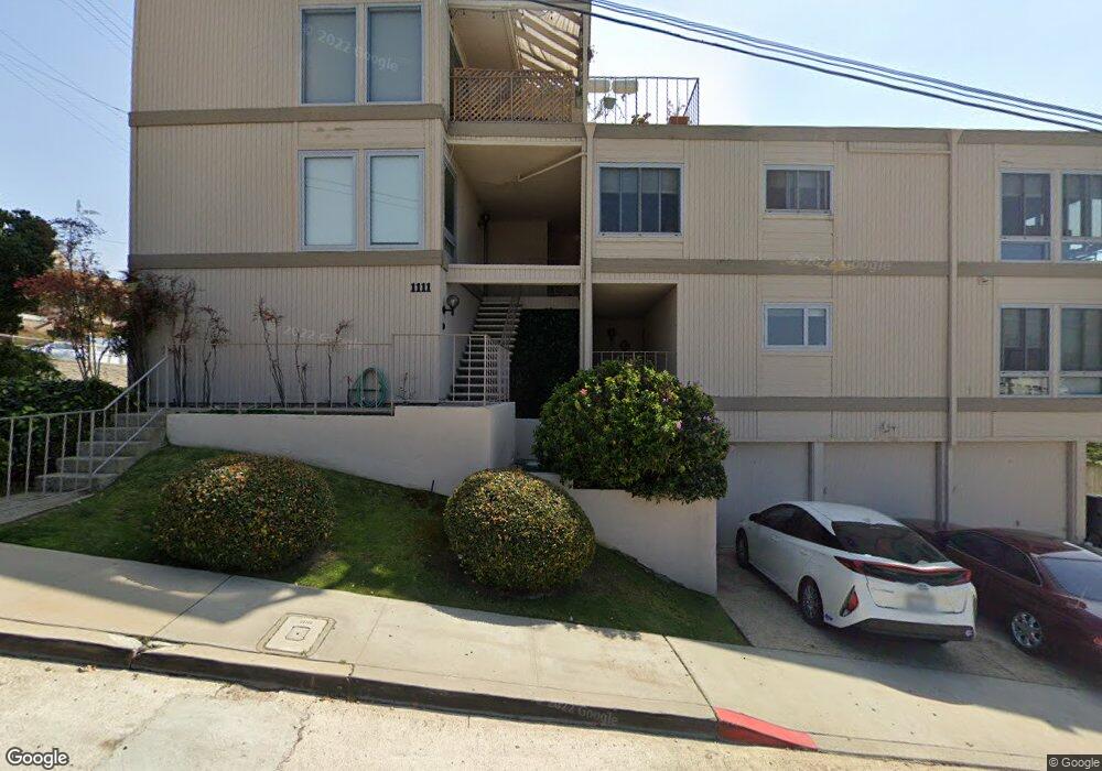
1111 W Olive St Unit C San Diego, CA 92103
Middletown NeighborhoodEstimated Value: $675,000 - $827,000
2
Beds
2
Baths
1,172
Sq Ft
$657/Sq Ft
Est. Value
About This Home
This home is located at 1111 W Olive St Unit C, San Diego, CA 92103 and is currently estimated at $770,153, approximately $657 per square foot. 1111 W Olive St Unit C is a home located in San Diego County with nearby schools including Grant K-8, Richard Henry Dana Middle School, and Roosevelt International Middle School.
Ownership History
Date
Name
Owned For
Owner Type
Purchase Details
Closed on
Jan 12, 2023
Sold by
Izabela K Vaught 1994 Trust
Bought by
Karmach Family Trust
Current Estimated Value
Purchase Details
Closed on
Dec 9, 1994
Sold by
Vaught Izabela K
Bought by
Vaught Izabela K
Purchase Details
Closed on
Aug 19, 1988
Purchase Details
Closed on
May 9, 1985
Create a Home Valuation Report for This Property
The Home Valuation Report is an in-depth analysis detailing your home's value as well as a comparison with similar homes in the area
Home Values in the Area
Average Home Value in this Area
Purchase History
| Date | Buyer | Sale Price | Title Company |
|---|---|---|---|
| Karmach Family Trust | -- | None Listed On Document | |
| Vaught Izabela K | -- | -- | |
| -- | $139,000 | -- | |
| -- | $124,000 | -- |
Source: Public Records
Tax History Compared to Growth
Tax History
| Year | Tax Paid | Tax Assessment Tax Assessment Total Assessment is a certain percentage of the fair market value that is determined by local assessors to be the total taxable value of land and additions on the property. | Land | Improvement |
|---|---|---|---|---|
| 2025 | $3,172 | $260,798 | $132,039 | $128,759 |
| 2024 | $3,172 | $255,685 | $129,450 | $126,235 |
| 2023 | $3,016 | $245,758 | $124,424 | $121,334 |
| 2022 | $2,935 | $245,758 | $124,424 | $121,334 |
| 2021 | $2,913 | $240,940 | $121,985 | $118,955 |
| 2020 | $2,877 | $238,471 | $120,735 | $117,736 |
| 2019 | $2,824 | $233,796 | $118,368 | $115,428 |
| 2018 | $2,640 | $229,213 | $116,048 | $113,165 |
| 2017 | $2,576 | $224,720 | $113,773 | $110,947 |
| 2016 | $2,533 | $220,315 | $111,543 | $108,772 |
| 2015 | $2,495 | $217,007 | $109,868 | $107,139 |
| 2014 | $2,454 | $212,757 | $107,716 | $105,041 |
Source: Public Records
Map
Nearby Homes
- 2715 Columbia St
- 2805 State St
- 2930 Columbia St Unit F
- 0 Reynard Way Unit PTP2505859
- 1034 W Quince St
- 3025-37 Columbia St
- 2948-54 Reynard Way
- 1295 W Redwood St
- 2487 Kettner Blvd
- 405 W Nutmeg St
- 2730 Brant St
- 1313 Terracina Ln
- 450 W Laurel St
- 2453 Curlew St
- 3157 Harbor Ridge Ln Unit 2214
- 2861 Brant St
- 2871 Brant St
- 3243-45 Columbia St
- 3109 Hawk St
- 2311 State St
- 1111 W Olive St Unit D
- 1111 W Olive St Unit A
- 2756 Columbia St
- 2744 Columbia St
- 2816 Columbia St Unit 18
- 2732 Columbia St
- 2753 Columbia St
- 2775 Columbia St
- 2801 Columbia St Unit 4
- 2801 Columbia St Unit 7
- 2737 Columbia St Unit 41
- 2830 Columbia St
- 2811 Columbia St
- 2710 Columbia St
- 2727 Columbia St Unit 29
- 2825 Columbia St Unit 27
- 2840 Columbia St
- 2837 India St Unit 49
- 2766 State St
- 2752 State St Unit 56