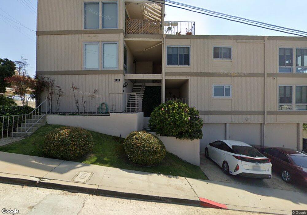
1111 W Olive St Unit D San Diego, CA 92103
Middletown NeighborhoodEstimated Value: $676,000 - $821,000
2
Beds
2
Baths
1,136
Sq Ft
$668/Sq Ft
Est. Value
About This Home
This home is located at 1111 W Olive St Unit D, San Diego, CA 92103 and is currently estimated at $758,492, approximately $667 per square foot. 1111 W Olive St Unit D is a home located in San Diego County with nearby schools including Grant K-8, Richard Henry Dana Middle School, and Roosevelt International Middle School.
Ownership History
Date
Name
Owned For
Owner Type
Purchase Details
Closed on
Dec 3, 2009
Sold by
Coover Ronald C
Bought by
Coover Ronald C
Current Estimated Value
Purchase Details
Closed on
May 3, 2001
Sold by
Coover Jennifer
Bought by
Coover Ronald C
Home Financials for this Owner
Home Financials are based on the most recent Mortgage that was taken out on this home.
Original Mortgage
$100,000
Interest Rate
7.19%
Mortgage Type
Credit Line Revolving
Create a Home Valuation Report for This Property
The Home Valuation Report is an in-depth analysis detailing your home's value as well as a comparison with similar homes in the area
Home Values in the Area
Average Home Value in this Area
Purchase History
| Date | Buyer | Sale Price | Title Company |
|---|---|---|---|
| Coover Ronald C | -- | None Available | |
| Coover Ronald C | -- | Fidelity National Title |
Source: Public Records
Mortgage History
| Date | Status | Borrower | Loan Amount |
|---|---|---|---|
| Closed | Coover Ronald C | $100,000 |
Source: Public Records
Tax History Compared to Growth
Tax History
| Year | Tax Paid | Tax Assessment Tax Assessment Total Assessment is a certain percentage of the fair market value that is determined by local assessors to be the total taxable value of land and additions on the property. | Land | Improvement |
|---|---|---|---|---|
| 2025 | $2,812 | $230,934 | $100,334 | $130,600 |
| 2024 | $2,812 | $226,407 | $98,367 | $128,040 |
| 2023 | $2,750 | $221,969 | $96,439 | $125,530 |
| 2022 | $2,677 | $217,618 | $94,549 | $123,069 |
| 2021 | $2,659 | $213,352 | $92,696 | $120,656 |
| 2020 | $2,627 | $211,165 | $91,746 | $119,419 |
| 2019 | $2,581 | $207,026 | $89,948 | $117,078 |
| 2018 | $2,414 | $202,968 | $88,185 | $114,783 |
| 2017 | $83 | $198,989 | $86,456 | $112,533 |
| 2016 | $2,319 | $195,088 | $84,761 | $110,327 |
| 2015 | $2,285 | $192,158 | $83,488 | $108,670 |
| 2014 | $2,250 | $188,395 | $81,853 | $106,542 |
Source: Public Records
Map
Nearby Homes
- 2715 Columbia St
- 2805 State St
- 2930 Columbia St Unit F
- 0 Reynard Way Unit PTP2505859
- 1034 W Quince St
- 3025-37 Columbia St
- 2948-54 Reynard Way
- 1295 W Redwood St
- 2487 Kettner Blvd
- 405 W Nutmeg St
- 2730 Brant St
- 1313 Terracina Ln
- 450 W Laurel St
- 2453 Curlew St
- 3157 Harbor Ridge Ln Unit 2214
- 2861 Brant St
- 2871 Brant St
- 3243-45 Columbia St
- 3109 Hawk St
- 2311 State St
- 1111 W Olive St Unit C
- 1111 W Olive St Unit A
- 2756 Columbia St
- 2744 Columbia St
- 2816 Columbia St Unit 18
- 2732 Columbia St
- 2753 Columbia St
- 2775 Columbia St
- 2801 Columbia St Unit 4
- 2801 Columbia St Unit 7
- 2737 Columbia St Unit 41
- 2830 Columbia St
- 2811 Columbia St
- 2710 Columbia St
- 2727 Columbia St Unit 29
- 2825 Columbia St Unit 27
- 2840 Columbia St
- 2837 India St Unit 49
- 2766 State St
- 2752 State St Unit 56