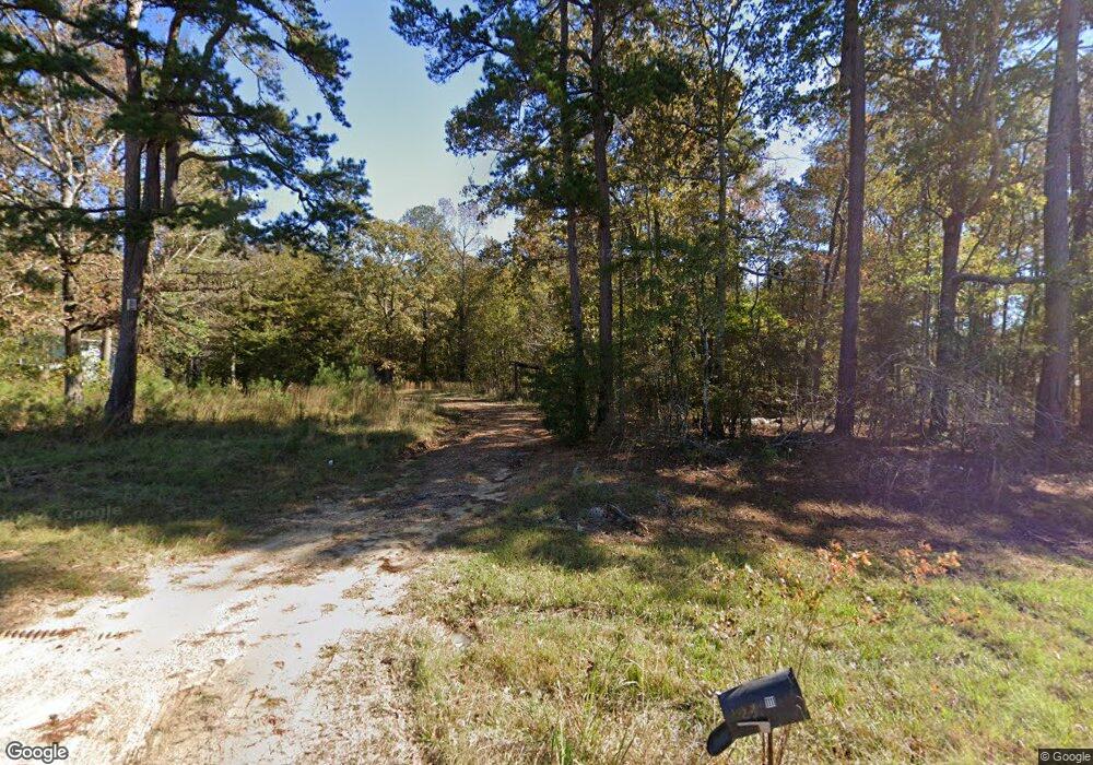
1111 Wade Patrick Rd Brandon, MS 39042
Brandon AreaEstimated Value: $109,790 - $315,000
About This Home
This home is located at 1111 Wade Patrick Rd, Brandon, MS 39042 and is currently estimated at $178,948, approximately $108 per square foot. 1111 Wade Patrick Rd is a home located in Rankin County with nearby schools including McLaurin Elementary School.
Ownership History
We collect this data history from publicly available records. To have your information removed, we recommend requesting removal directly through your county’s website.
Purchase Details
Purchase Details
Purchase Details
Purchase Details
Purchase History
We collect this data history from publicly available records. To have your information removed, we recommend requesting removal directly through your county’s website.
| Date | Buyer | Sale Price | Title Company |
|---|---|---|---|
| -- | None Listed On Document | ||
| -- | None Listed On Document | ||
| -- | None Listed On Document | ||
| -- | -- | ||
| -- | -- |
Tax History
We collect this data history from publicly available records. To have your information removed, we recommend requesting removal directly through your county’s website.
| Year | Tax Paid | Tax Assessment Tax Assessment Total Assessment is a certain percentage of the fair market value that is determined by local assessors to be the total taxable value of land and additions on the property. | Land | Improvement |
|---|---|---|---|---|
| 2025 | $430 | $4,277 | $0 | $0 |
| 2024 | $422 | $4,277 | $0 | $0 |
| 2023 | $229 | $2,319 | $0 | $0 |
| 2022 | $886 | $9,114 | $0 | $0 |
| 2021 | $849 | $8,739 | $0 | $0 |
| 2020 | $332 | $5,826 | $0 | $0 |
| 2019 | $303 | $5,132 | $0 | $0 |
| 2018 | $293 | $5,132 | $0 | $0 |
| 2017 | $293 | $5,132 | $0 | $0 |
| 2016 | $275 | $5,279 | $0 | $0 |
| 2015 | $491 | $5,279 | $0 | $0 |
| 2014 | $480 | $5,279 | $0 | $0 |
| 2013 | -- | $5,279 | $0 | $0 |
Map
- 0 Shell Oil Rd Unit 4148985
- 0 Shell Oil Rd Unit 4148983
- 486 Holifield Cir
- J05 Red Light Rd
- 1105 Rock Hill Rd
- 3826 Mississippi 18
- 1175 Sanctuary Dr
- 0 Joe Davis Dr
- 0 Donna Ashley St
- 0 Scott St Unit 4155812
- 8 Holiday Rd
- 220 New Haven Ln
- 224 New Haven Ln
- 320 Stronghold Dr
- 222 New Haven Ln
- 214 New Haven Ln
- 0 Old Lake Rd
- 0 Will Stutely Dr
- 1392 Old Lake Rd
- 0 Bill Hubbard Rd
- 1120 Wade Patrick Rd
- 1131 Wade Patrick Rd
- 355 Louise Ln
- 1458 Shell Oil Rd
- 360 Louise Ln
- 110 Hawks Nest Cove
- 0 Shell Oil Rd Unit 296799
- 103 Sharanne Ln
- 350 Louise Ln
- 1416 Shell Oil Rd
- 105 Sharanne Ln
- 130 Hawks Nest Cove
- 107 Sharanne Ln
- 1495 Shell Oil Rd
- 0 Wade Patrick Rd
- 106 Sharanne Ln
- 446 Mallard Point
- 109 Sharanne Ln
- 423 Mallard Point
- 421 Mallard Point
Ask me questions while you tour the home.