1111 Williamson Branch Rd Vanleer, TN 37181
Estimated Value: $320,228 - $760,000
Studio
2
Baths
3,000
Sq Ft
$164/Sq Ft
Est. Value
About This Home
This home is located at 1111 Williamson Branch Rd, Vanleer, TN 37181 and is currently estimated at $492,409, approximately $164 per square foot. 1111 Williamson Branch Rd is a home located in Houston County.
Ownership History
Date
Name
Owned For
Owner Type
Purchase Details
Closed on
Oct 16, 2020
Sold by
Johnson Thea
Bought by
Ford Diane Lucille
Current Estimated Value
Purchase Details
Closed on
Sep 26, 2002
Bought by
Johnson Thea
Purchase Details
Closed on
Oct 15, 1999
Bought by
Johnson Thea
Purchase Details
Closed on
Feb 11, 1992
Bought by
Johnson Thea
Purchase Details
Closed on
Jan 22, 1992
Bought by
Johnson Thea
Purchase Details
Closed on
Oct 26, 1988
Bought by
Robinette Paula L
Purchase Details
Closed on
Sep 1, 1981
Bought by
Johnson Aubrey H and Johnson Marie
Purchase Details
Closed on
Oct 30, 1976
Purchase Details
Closed on
Aug 7, 1967
Create a Home Valuation Report for This Property
The Home Valuation Report is an in-depth analysis detailing your home's value as well as a comparison with similar homes in the area
Purchase History
| Date | Buyer | Sale Price | Title Company |
|---|---|---|---|
| Ford Diane Lucille | -- | None Available | |
| Johnson Thea | -- | -- | |
| Johnson Thea | -- | -- | |
| Johnson Thea | -- | -- | |
| Johnson Thea | $78,000 | -- | |
| Robinette Paula L | $90,000 | -- | |
| Johnson Aubrey H | -- | -- | |
| -- | -- | -- | |
| -- | -- | -- |
Source: Public Records
Tax History
| Year | Tax Paid | Tax Assessment Tax Assessment Total Assessment is a certain percentage of the fair market value that is determined by local assessors to be the total taxable value of land and additions on the property. | Land | Improvement |
|---|---|---|---|---|
| 2025 | $1,000 | $57,825 | $5,875 | $51,950 |
| 2024 | $1,029 | $57,825 | $5,875 | $51,950 |
| 2023 | $1,029 | $57,825 | $5,875 | $51,950 |
| 2022 | $944 | $33,725 | $4,450 | $29,275 |
| 2021 | $944 | $33,725 | $4,450 | $29,275 |
| 2020 | $907 | $33,725 | $4,450 | $29,275 |
| 2019 | $907 | $28,425 | $3,625 | $24,800 |
| 2018 | $997 | $28,425 | $3,625 | $24,800 |
| 2017 | $945 | $29,625 | $4,825 | $24,800 |
| 2016 | $945 | $29,625 | $4,825 | $24,800 |
| 2015 | $945 | $29,625 | $4,825 | $24,800 |
| 2014 | -- | $29,629 | $0 | $0 |
Source: Public Records
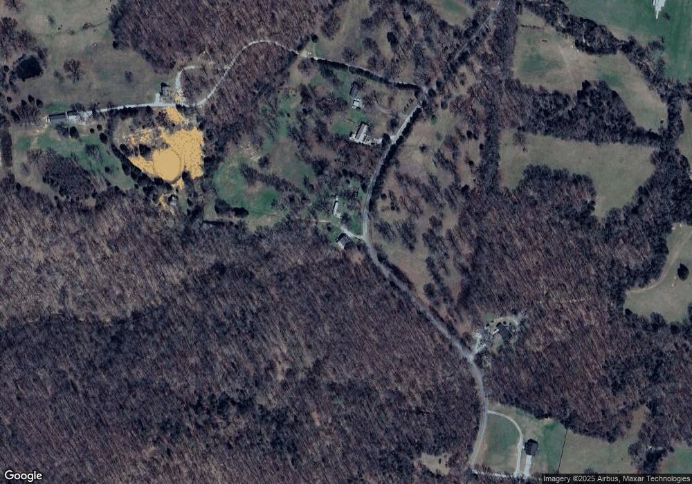
Map
Nearby Homes
- 13128 Highway 49
- 900 Norris Hollow Rd
- 776 Norris Hollow Rd
- 2300 Bear Creek Rd
- 220 Carmak Adkins Ln
- 1092 Shoulder Strap Branch Rd
- 1400 Slaydenwood Rd
- 0 Highway 49
- 234 Davis Ln
- 1910 Cedar Creek Rd
- 0 Slaydenwood Dr Unit RTC3030472
- 1 Sparkman Rd
- 2414 Slayden-Marion Rd
- 5 Hop Smith Rd
- 3 Hop Smith Rd
- 959 Herman Adams Rd
- 133 Shelton Cemetery Rd
- 3006 Slayden-Marion Rd
- 2320 Center Point Rd
- 91 Highway 46 N
- 1177 Williamson Branch Rd
- 1258 Williamson Branch Rd
- 1225 Williamson Branch Rd
- 972 Williamson Branch Rd
- 1253 Williamson Branch Rd
- 910 Williamson Branch Rd
- 1255 Williamson Branch Rd
- 1390 Williamson Branch Rd
- 1595 Williamson Branch Rd
- 93 Halliburton Rd
- 75 Halliburton Rd
- 11 Halliburton Rd
- 1570 Williamson Branch Rd
- 1635 Williamson Branch Rd
- 706 Williamson Branch Rd
- 9 Halliburton Rd
- 1641 Williamson Branch Rd
- 210 Halliburton Rd
- 1658 Williamson Branch Rd
- 329 Halliburton Rd
Your Personal Tour Guide
Ask me questions while you tour the home.