11110 Independence Rd Moss Point, MS 39562
Estimated Value: $147,265 - $203,000
Studio
2
Baths
1,961
Sq Ft
$94/Sq Ft
Est. Value
About This Home
This home is located at 11110 Independence Rd, Moss Point, MS 39562 and is currently estimated at $183,816, approximately $93 per square foot. 11110 Independence Rd is a home located in Jackson County with nearby schools including Kreole Primary Elementary School, Escatawpa Upper Elementary School, and Magnolia Middle School.
Ownership History
Date
Name
Owned For
Owner Type
Purchase Details
Closed on
Aug 15, 2016
Sold by
Kennington Angela M and Kennington Michael D
Bought by
Ramsay Nickalus J
Current Estimated Value
Home Financials for this Owner
Home Financials are based on the most recent Mortgage that was taken out on this home.
Original Mortgage
$75,000
Outstanding Balance
$32,480
Interest Rate
3.42%
Mortgage Type
Purchase Money Mortgage
Estimated Equity
$151,336
Create a Home Valuation Report for This Property
The Home Valuation Report is an in-depth analysis detailing your home's value as well as a comparison with similar homes in the area
Purchase History
We collect this data history from publicly available records. To have your information removed, we recommend requesting removal directly through your county’s website.
| Date | Buyer | Sale Price | Title Company |
|---|---|---|---|
| Ramsay Nickalus J | -- | Island Winds Title Co Llc |
Source: Public Records
Mortgage History
We collect this data history from publicly available records. To have your information removed, we recommend requesting removal directly through your county’s website.
| Date | Status | Borrower | Loan Amount |
|---|---|---|---|
| Open | Ramsay Nickalus J | $75,000 |
Source: Public Records
Tax History
| Year | Tax Paid | Tax Assessment Tax Assessment Total Assessment is a certain percentage of the fair market value that is determined by local assessors to be the total taxable value of land and additions on the property. | Land | Improvement |
|---|---|---|---|---|
| 2025 | $709 | $8,365 | $1,629 | $6,736 |
| 2024 | $709 | $7,699 | $1,586 | $6,113 |
| 2023 | $628 | $7,699 | $1,586 | $6,113 |
| 2022 | $630 | $7,699 | $1,586 | $6,113 |
| 2021 | $642 | $7,794 | $1,586 | $6,208 |
| 2020 | $590 | $7,185 | $1,442 | $5,743 |
| 2019 | $572 | $7,185 | $1,442 | $5,743 |
| 2018 | $572 | $7,185 | $1,442 | $5,743 |
| 2017 | $568 | $7,185 | $1,442 | $5,743 |
| 2016 | $257 | $6,277 | $577 | $5,700 |
| 2015 | $235 | $57,660 | $5,770 | $51,890 |
| 2014 | $247 | $6,070 | $577 | $5,493 |
| 2013 | $245 | $5,989 | $577 | $5,412 |
Source: Public Records
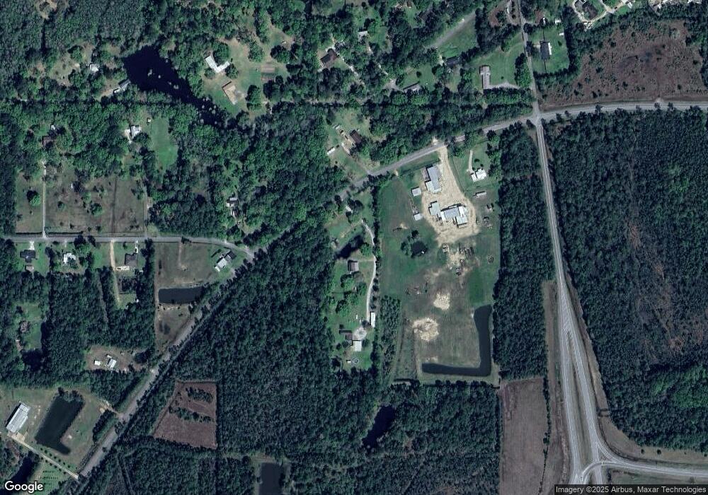
Map
Nearby Homes
- 0 Independence Rd
- 0 I-10 & Independence Rd
- 9140 Franklin Creek Rd
- 0 Forts Unit 3365574
- 0 Forts Unit 3365582
- 9850 Hall Rd
- 14935 Old Pascagoula Rd
- 0 Christian Acres Rd
- 11804 Ormond Rd
- 14420 Burnham Rd E
- 8320 Darlene Dr
- 0 Martin Young Rd Unit 4123596
- 0 Greenfields Rd Unit 4149793
- 0 Mcgregor Rd Unit 7769796
- 8520 Hyacinth Way
- 0 Festival Park Rd
- 0 Shiprock St
- 00 Ezell Rd
- 7204 Coda Rd
- 13141 Holly Ct
- 11112 Independence Rd
- 11112 Independence Rd
- 11216 Independence Rd
- 11117 Independence Rd
- 11121 Laakso Rd
- 11100 Independence Rd
- 11214 Independence Rd
- 11204 Colony Ln
- 10921 Laakso Rd
- 11001 Colony Ln
- 11117 Colony Ln
- 10908 Laakso Rd
- 11208 Colony Ln
- 10910 Laakso Rd
- 9005 Franklin Creek Rd
- 9141 Heather Ln
- 10929 Laakso Rd
- 10850 Independence Rd
- 11209 Colony Ln
- 10900 Laakso Rd
Your Personal Tour Guide
Ask me questions while you tour the home.