111105 Swallowtail Ln Marshfield, WI 54449
Estimated Value: $469,340 - $640,000
4
Beds
--
Bath
3,339
Sq Ft
$166/Sq Ft
Est. Value
About This Home
This home is located at 111105 Swallowtail Ln, Marshfield, WI 54449 and is currently estimated at $553,335, approximately $165 per square foot. 111105 Swallowtail Ln is a home located in Marathon County with nearby schools including Marshfield High School, St. John Primary School, and Marshfield Childrens House.
Ownership History
Date
Name
Owned For
Owner Type
Purchase Details
Closed on
Dec 4, 2017
Sold by
Reissmann Bryon L and Reissmann Becky J
Bought by
Sennholz William E and Sennholz Claudia
Current Estimated Value
Purchase Details
Closed on
Jun 27, 2011
Sold by
Vo Andrew N
Bought by
Reissmann Bryon L and Reissmann Becky J
Home Financials for this Owner
Home Financials are based on the most recent Mortgage that was taken out on this home.
Original Mortgage
$268,000
Interest Rate
4.63%
Mortgage Type
VA
Create a Home Valuation Report for This Property
The Home Valuation Report is an in-depth analysis detailing your home's value as well as a comparison with similar homes in the area
Home Values in the Area
Average Home Value in this Area
Purchase History
| Date | Buyer | Sale Price | Title Company |
|---|---|---|---|
| Sennholz William E | -- | Gowey Abstract | |
| Reissmann Bryon L | $268,000 | None Available |
Source: Public Records
Mortgage History
| Date | Status | Borrower | Loan Amount |
|---|---|---|---|
| Previous Owner | Reissmann Bryon L | $268,000 |
Source: Public Records
Tax History Compared to Growth
Tax History
| Year | Tax Paid | Tax Assessment Tax Assessment Total Assessment is a certain percentage of the fair market value that is determined by local assessors to be the total taxable value of land and additions on the property. | Land | Improvement |
|---|---|---|---|---|
| 2024 | $5,500 | $306,200 | $25,200 | $281,000 |
| 2023 | $4,600 | $306,200 | $25,200 | $281,000 |
| 2022 | $5,665 | $306,200 | $25,200 | $281,000 |
| 2021 | $4,998 | $306,200 | $25,200 | $281,000 |
| 2020 | $4,897 | $306,200 | $25,200 | $281,000 |
| 2019 | $4,853 | $306,200 | $25,200 | $281,000 |
| 2018 | $4,586 | $306,200 | $25,200 | $281,000 |
| 2017 | $5,187 | $306,200 | $25,200 | $281,000 |
| 2016 | $5,039 | $306,200 | $25,200 | $281,000 |
| 2015 | $5,179 | $306,200 | $25,200 | $281,000 |
| 2014 | $4,760 | $283,500 | $25,200 | $258,300 |
Source: Public Records
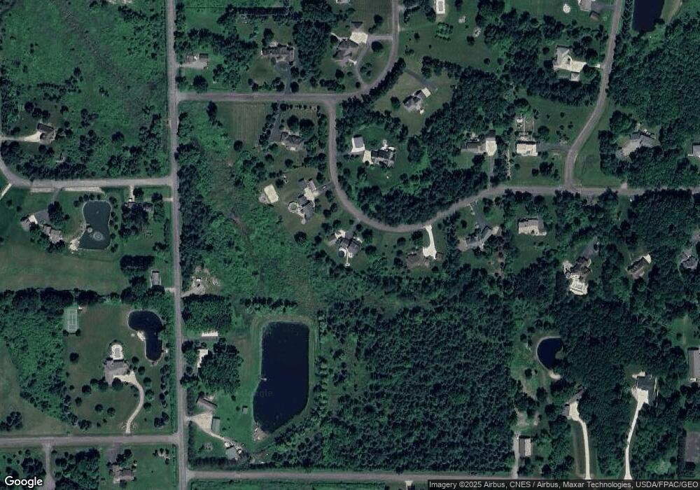
Map
Nearby Homes
- 110985 Candlewood Ct
- Lot #1 Meadow Ave
- 1922 Pheasant Run Dr Unit 6B
- 1511 N Broadway Ave
- 1110 Wildflower Dr
- 1832 Pheasant Run Dr Unit 2B
- 1601 Immanuel Ct
- 416 W Leonhard St
- 900 Sawyer Dr
- 1701 N Palmetto Ave
- 1006 N Columbus Ave
- 1407 N Peach Ave Unit Lot 215
- 1104 Briarwood St
- 112104 Winterberry Cir
- 302 W Cleveland St
- 717 N Cedar Ave
- 406 W Blodgett St
- 1607-1609 E Upham St
- 510 W Arnold St
- 1505 N Hume Ave
- 111061 Swallowtail Ln
- 204 Edgewood Ln
- 111048 Swallowtail Ln
- 110833 Candlewood Ct
- 110871 Candlewood Ct
- 110871 Candlewood Ct
- M122 Saint Joseph Ave
- 000 Edgewood Ln Unit Lot 43
- 110870 Candlewood Ct
- 110870 Candlewood Ct
- 200950 Saint Joseph Ave
- 110834 Candlewood Ct
- M125 Saint Joseph Ave
- 201072 Saint Joseph Ave
- 200801 Saint Joseph Ave
- M130 Saint Joseph Ave
- 110900 Candlewood Ct
- M215 Red Hawk Ln
- M212 Red Hawk Ln
- M209 Red Hawk Ln