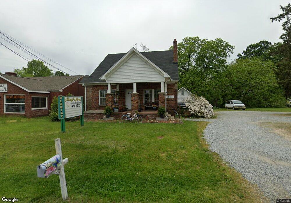
11111 N Main St Archdale, NC 27263
Estimated Value: $380,708
Studio
--
Bath
1,943
Sq Ft
$196/Sq Ft
Est. Value
About This Home
This home is located at 11111 N Main St, Archdale, NC 27263 and is currently estimated at $380,708, approximately $195 per square foot. 11111 N Main St is a home located in Randolph County with nearby schools including Archdale Elementary School, Wheatmore Middle School, and Trinity High School.
Ownership History
Date
Name
Owned For
Owner Type
Purchase Details
Closed on
Apr 23, 2024
Sold by
Hamilton Land Llc
Bought by
City Of Archdale
Current Estimated Value
Purchase Details
Closed on
Nov 1, 2017
Sold by
Osborne Hamilton Arch L and Osborne Hamilton Laurie
Bought by
Hamilton Land Llc
Purchase Details
Closed on
Sep 20, 2017
Sold by
Hamilton Arch L and Austin Sherri H
Bought by
Hamilton Arch L and Austin Sherri H
Purchase Details
Closed on
Nov 1, 2005
Sold by
Hamilton Elbert A and Hamilton Doris G
Bought by
Hamilton Doris Gossett and Doris Gossett Hamilton Family
Create a Home Valuation Report for This Property
The Home Valuation Report is an in-depth analysis detailing your home's value as well as a comparison with similar homes in the area
Home Values in the Area
Average Home Value in this Area
Purchase History
| Date | Buyer | Sale Price | Title Company |
|---|---|---|---|
| City Of Archdale | $358,000 | None Listed On Document | |
| City Of Archdale | $358,000 | None Listed On Document | |
| Hamilton Land Llc | -- | None Available | |
| Hamilton Arch L | -- | None Available | |
| Hamilton Doris Gossett | -- | -- |
Source: Public Records
Tax History
| Year | Tax Paid | Tax Assessment Tax Assessment Total Assessment is a certain percentage of the fair market value that is determined by local assessors to be the total taxable value of land and additions on the property. | Land | Improvement |
|---|---|---|---|---|
| 2025 | $933 | $89,700 | $89,700 | $0 |
| 2024 | $2,190 | $212,540 | $89,700 | $122,840 |
| 2023 | $2,190 | $212,540 | $89,700 | $122,840 |
| 2022 | $2,062 | $174,010 | $89,700 | $84,310 |
| 2021 | $2,062 | $174,010 | $89,700 | $84,310 |
| 2020 | $2,015 | $174,010 | $89,700 | $84,310 |
| 2019 | $2,015 | $174,010 | $89,700 | $84,310 |
| 2018 | $1,937 | $163,050 | $89,700 | $73,350 |
| 2016 | $1,898 | $163,052 | $89,700 | $73,352 |
| 2015 | $1,902 | $163,052 | $89,700 | $73,352 |
| 2014 | -- | $163,052 | $89,700 | $73,352 |
Source: Public Records
Map
Nearby Homes
- 10844 N Main St
- 116 Liberty Place
- 1606 Chelsea Square
- 512 Dale St
- 510 Dale St
- 3813 Salisbury St
- 1000 Westbrook Ct
- 818 Westbrook Ct Unit 818
- 10812, 10822, 10828 N Main St
- 902 Brittany Way
- 810 Brittany Way
- 702 Westbrook Ct Unit 702
- 112 Westbrook Ct
- 500 Lynbrook Dr
- 1101 Jimmy Ct
- 1103 Jimmy Ct
- 1100 Jimmy Ct
- 312 Playground Rd
- 1008 Victory Dr
- 702 Oakmont Cir
- 11105 N Main St
- 11101 N Main St
- 11127 N Main St
- 106 Northeast Dr
- 11009 N Main St
- 108 Northeast Dr
- 109 W White Dr
- 112 Northeast Dr
- 120 Northeast Dr
- 113 W White Dr
- 111 W White Dr
- 109 Englewood Dr
- 10951 N Main St
- 114 Northeast Dr
- 108 E White Dr
- 109 Northeast Dr
- 115 W White Dr
- 11213 N Main St
- 111 Englewood Dr
- 107 Northeast Dr
Your Personal Tour Guide
Ask me questions while you tour the home.