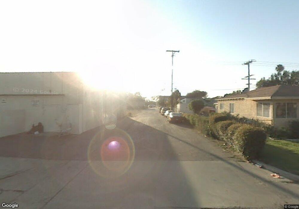
11112 Dorland Dr Whittier, CA 90606
West Whittier NeighborhoodEstimated Value: $671,000 - $771,000
2
Beds
1
Bath
816
Sq Ft
$883/Sq Ft
Est. Value
About This Home
This home is located at 11112 Dorland Dr, Whittier, CA 90606 and is currently estimated at $720,774, approximately $883 per square foot. 11112 Dorland Dr is a home located in Los Angeles County with nearby schools including Longfellow Elementary School, Walter F. Dexter Middle School, and Whittier High School.
Ownership History
Date
Name
Owned For
Owner Type
Purchase Details
Closed on
Jul 8, 2020
Sold by
Medina Victor
Bought by
Rubio Mike and Rubio Valerie Erica
Current Estimated Value
Home Financials for this Owner
Home Financials are based on the most recent Mortgage that was taken out on this home.
Original Mortgage
$440,068
Outstanding Balance
$389,492
Interest Rate
3%
Mortgage Type
FHA
Estimated Equity
$331,282
Purchase Details
Closed on
Feb 12, 2009
Sold by
Federal Home Loan Mortgage Corporation
Bought by
Medina Victor
Purchase Details
Closed on
Apr 26, 2008
Sold by
Roy Robb David and Roy Stephanie C
Bought by
Federal Home Loan Mortgage Corporation
Purchase Details
Closed on
Apr 30, 2007
Sold by
Roy Robb David
Bought by
Roy Robb David and Roy Stephanie C
Home Financials for this Owner
Home Financials are based on the most recent Mortgage that was taken out on this home.
Original Mortgage
$365,000
Interest Rate
6.15%
Mortgage Type
New Conventional
Purchase Details
Closed on
Sep 9, 2002
Sold by
Roy Stephanie
Bought by
Roy Robb David
Home Financials for this Owner
Home Financials are based on the most recent Mortgage that was taken out on this home.
Original Mortgage
$227,465
Interest Rate
6.16%
Purchase Details
Closed on
Aug 5, 2002
Sold by
Choto Ruben A
Bought by
Roy Robb David
Home Financials for this Owner
Home Financials are based on the most recent Mortgage that was taken out on this home.
Original Mortgage
$227,465
Interest Rate
6.16%
Purchase Details
Closed on
Oct 5, 1998
Sold by
Maldonado Anthony I
Bought by
Choto Ruben A and Choto Ruby E
Home Financials for this Owner
Home Financials are based on the most recent Mortgage that was taken out on this home.
Original Mortgage
$140,440
Interest Rate
6.54%
Mortgage Type
FHA
Purchase Details
Closed on
Jul 2, 1997
Sold by
Stolle Anthony H
Bought by
Maldonado Anthony I and Maldonado Vera C
Purchase Details
Closed on
Mar 17, 1994
Sold by
Stolle Anthony H
Bought by
Stolle Anthony H and Stolle Kathleen M
Create a Home Valuation Report for This Property
The Home Valuation Report is an in-depth analysis detailing your home's value as well as a comparison with similar homes in the area
Home Values in the Area
Average Home Value in this Area
Purchase History
| Date | Buyer | Sale Price | Title Company |
|---|---|---|---|
| Rubio Mike | $457,500 | Wfg National Title Company | |
| Medina Victor | $157,500 | First American Title | |
| Federal Home Loan Mortgage Corporation | $369,000 | None Available | |
| Roy Robb David | -- | First American Title | |
| Roy Robb David | -- | American Title Co | |
| Roy Robb David | $234,500 | American Title Co | |
| Choto Ruben A | $142,500 | First American Title Co | |
| Maldonado Anthony I | $138,000 | First American Title Ins Co | |
| Stolle Anthony H | -- | -- |
Source: Public Records
Mortgage History
| Date | Status | Borrower | Loan Amount |
|---|---|---|---|
| Open | Rubio Mike | $440,068 | |
| Previous Owner | Roy Robb David | $365,000 | |
| Previous Owner | Roy Robb David | $227,465 | |
| Previous Owner | Choto Ruben A | $140,440 |
Source: Public Records
Tax History Compared to Growth
Tax History
| Year | Tax Paid | Tax Assessment Tax Assessment Total Assessment is a certain percentage of the fair market value that is determined by local assessors to be the total taxable value of land and additions on the property. | Land | Improvement |
|---|---|---|---|---|
| 2025 | $6,266 | $495,209 | $396,169 | $99,040 |
| 2024 | $6,266 | $485,500 | $388,401 | $97,099 |
| 2023 | $6,115 | $475,982 | $380,786 | $95,196 |
| 2022 | $6,014 | $466,650 | $373,320 | $93,330 |
| 2021 | $5,880 | $457,500 | $366,000 | $91,500 |
| 2020 | $2,794 | $185,445 | $176,619 | $8,826 |
| 2019 | $2,764 | $181,809 | $173,156 | $8,653 |
| 2018 | $2,658 | $178,245 | $169,761 | $8,484 |
| 2016 | $2,521 | $171,325 | $163,170 | $8,155 |
| 2015 | $2,480 | $168,753 | $160,720 | $8,033 |
| 2014 | $2,395 | $165,448 | $157,572 | $7,876 |
Source: Public Records
Map
Nearby Homes
- 11232 Dorland Dr
- 10825 Loch Avon Dr
- 11273 Dorland Dr
- 10943 Loch Lomond Dr
- 11447 Broadway Ave
- 5903 Redman Ave
- 11302 Maple St
- 6266 Western Ave
- 6225 Gretna Ave
- 6240 Gretna Ave
- 11567 Keith Dr
- 5518 Norwalk Blvd
- 11402 Rose Hedge Dr
- 11409 Bradhurst St
- 6222 Magnolia Ave
- 11905 Mendenhall Ln
- 12031 Beverly Blvd Unit 1D
- 11730 Whittier Blvd Unit 27
- 11730 Whittier Blvd Unit 39
- 11730 Whittier Blvd Unit 54
- 11106 Dorland Dr
- 11118 Dorland Dr
- 11102 Dorland Dr
- 11122 Dorland Dr
- 11126 Dorland Dr
- 11113 Dorland Dr
- 11107 Dorland Dr
- 11119 Dorland Dr
- 11132 Dorland Dr
- 11123 Dorland Dr
- 11042 Dorland Dr
- 11077 See Dr
- 11083 See Dr
- 11071 See Dr
- 11129 Dorland Dr
- 11087 See Dr
- 11065 See Dr
- 11138 Dorland Dr
- 11038 Dorland Dr
