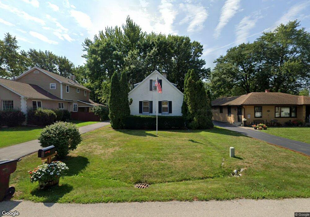
11117 Bryant Rd Mokena, IL 60448
Estimated Value: $330,283 - $375,000
3
Beds
2
Baths
1,932
Sq Ft
$181/Sq Ft
Est. Value
About This Home
This home is located at 11117 Bryant Rd, Mokena, IL 60448 and is currently estimated at $349,571, approximately $180 per square foot. 11117 Bryant Rd is a home located in Will County with nearby schools including Mokena Elementary School, Mokena Intermediate School, and Mokena Jr High School.
Ownership History
Date
Name
Owned For
Owner Type
Purchase Details
Closed on
Apr 10, 2020
Sold by
Freeman Leon and Freeman Loiis J
Bought by
Keele Mark E and Keele Jessica L
Current Estimated Value
Home Financials for this Owner
Home Financials are based on the most recent Mortgage that was taken out on this home.
Original Mortgage
$205,200
Outstanding Balance
$181,263
Interest Rate
3.25%
Mortgage Type
New Conventional
Estimated Equity
$168,308
Create a Home Valuation Report for This Property
The Home Valuation Report is an in-depth analysis detailing your home's value as well as a comparison with similar homes in the area
Home Values in the Area
Average Home Value in this Area
Purchase History
| Date | Buyer | Sale Price | Title Company |
|---|---|---|---|
| Keele Mark E | $216,000 | Fidelity National Title Ins |
Source: Public Records
Mortgage History
| Date | Status | Borrower | Loan Amount |
|---|---|---|---|
| Open | Keele Mark E | $205,200 |
Source: Public Records
Tax History
| Year | Tax Paid | Tax Assessment Tax Assessment Total Assessment is a certain percentage of the fair market value that is determined by local assessors to be the total taxable value of land and additions on the property. | Land | Improvement |
|---|---|---|---|---|
| 2024 | $4,499 | $67,311 | $18,312 | $48,999 |
| 2023 | $4,499 | $60,115 | $16,354 | $43,761 |
| 2022 | $3,962 | $54,755 | $14,896 | $39,859 |
| 2021 | $3,713 | $51,226 | $13,936 | $37,290 |
| 2020 | $2,076 | $49,782 | $13,543 | $36,239 |
| 2019 | $2,071 | $48,450 | $13,181 | $35,269 |
| 2018 | $2,065 | $47,057 | $12,802 | $34,255 |
| 2017 | $2,079 | $45,958 | $12,503 | $33,455 |
| 2016 | $2,098 | $44,382 | $12,074 | $32,308 |
| 2015 | $2,063 | $42,819 | $11,649 | $31,170 |
| 2014 | $2,063 | $42,521 | $11,568 | $30,953 |
| 2013 | $2,063 | $43,072 | $11,718 | $31,354 |
Source: Public Records
Map
Nearby Homes
- 19380 Wolf Rd Unit 6
- 11025 Revere Rd
- 11254 192nd St
- 10814 3rd St
- 11321 1st St
- 11325 1st St
- 11317 1st St
- 11329 1st St
- 11319 1st St
- 11323 1st St
- 11315 1st St
- Lot 7 Block 3 McGovn Mcgovney St
- 10752 First Ct
- 11144 Denny Ave
- 19539 116th Ave Unit B
- 19545 116th Ave Unit A
- 19502 116th Ave Unit C
- 19602 Swanberg Ln
- 11608 197th St
- 11617 Parkside Ln
- 11123 Bryant Rd
- 11113 Bryant Rd
- 11127 Bryant Rd
- 19404 Union St
- 11133 Bryant Rd
- 11118 Parker St
- 11122 Parker St
- 19402 Union St
- 11110 Parker St
- 11118 Bryant Rd
- 11124 Bryant Rd
- 11114 Bryant Rd
- 11128 Parker St
- 11108 Parker St
- 11132 Parker St
- 11137 Bryant Rd
- 11104 Bryant Rd
- 11104 Parker St
- 11136 Parker St
- 11128 Bryant Rd
Your Personal Tour Guide
Ask me questions while you tour the home.