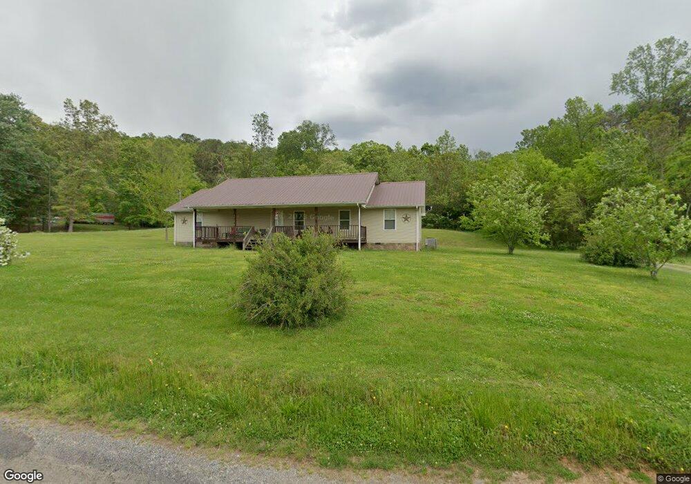
1112 Camellia Rd Newport, TN 37821
Estimated Value: $180,000 - $384,000
--
Bed
2
Baths
1,664
Sq Ft
$175/Sq Ft
Est. Value
About This Home
This home is located at 1112 Camellia Rd, Newport, TN 37821 and is currently estimated at $290,843, approximately $174 per square foot. 1112 Camellia Rd is a home located in Cocke County with nearby schools including Bridgeport Elementary School and Cocke County High School.
Ownership History
Date
Name
Owned For
Owner Type
Purchase Details
Closed on
Jul 5, 2022
Sold by
Jacob Hoilman
Bought by
Hoilman Mary C
Current Estimated Value
Purchase Details
Closed on
Nov 2, 2015
Sold by
Newport Federal Bank
Bought by
Hoilman Jacob and Hoilman Mary C
Home Financials for this Owner
Home Financials are based on the most recent Mortgage that was taken out on this home.
Original Mortgage
$106,200
Interest Rate
5.2%
Mortgage Type
New Conventional
Purchase Details
Closed on
Aug 11, 2015
Sold by
Norwood Mary Sue
Bought by
Newport Federal Bank
Create a Home Valuation Report for This Property
The Home Valuation Report is an in-depth analysis detailing your home's value as well as a comparison with similar homes in the area
Home Values in the Area
Average Home Value in this Area
Purchase History
| Date | Buyer | Sale Price | Title Company |
|---|---|---|---|
| Hoilman Mary C | -- | Whitson J Derreck | |
| Hoilman Mary C | -- | Whitson J Derreck | |
| Hoilman Jacob | $118,000 | -- | |
| Newport Federal Bank | $119,900 | -- |
Source: Public Records
Mortgage History
| Date | Status | Borrower | Loan Amount |
|---|---|---|---|
| Previous Owner | Hoilman Jacob | $106,200 |
Source: Public Records
Tax History Compared to Growth
Tax History
| Year | Tax Paid | Tax Assessment Tax Assessment Total Assessment is a certain percentage of the fair market value that is determined by local assessors to be the total taxable value of land and additions on the property. | Land | Improvement |
|---|---|---|---|---|
| 2024 | $844 | $32,975 | $3,875 | $29,100 |
| 2023 | $844 | $32,975 | $3,875 | $29,100 |
| 2022 | $846 | $32,975 | $3,875 | $29,100 |
| 2021 | $846 | $32,975 | $3,875 | $29,100 |
| 2020 | $908 | $32,975 | $3,875 | $29,100 |
| 2019 | $908 | $32,100 | $3,550 | $28,550 |
| 2018 | $908 | $32,100 | $3,550 | $28,550 |
| 2017 | $931 | $32,100 | $3,550 | $28,550 |
| 2016 | $830 | $32,100 | $3,550 | $28,550 |
| 2015 | $872 | $32,100 | $3,550 | $28,550 |
| 2014 | $872 | $32,100 | $3,550 | $28,550 |
| 2013 | $872 | $36,325 | $3,400 | $32,925 |
Source: Public Records
Map
Nearby Homes
- 1120 Camellia Rd
- 1134 Camellia Rd
- 1106 Camellia Rd
- 1070 Murray Branch Rd
- 404 Wild Acres Dr
- 5.88 acres Murray Branch Dr
- 6.97 acres Murray Branch Dr
- 1045 Murray Branch Rd
- 5.70 Wild Acres Dr
- 5.70 Acres Wild Acres Dr
- Lot 71 Wild Acres Dr
- Lot 70 Wild Acres Dr
- Lot 69 Wild Acres Dr
- 356 Wild Acres Dr
- 414 Wild Acres Dr
- 1051 Murray Branch Rd
- 1150 Camellia Rd
- 00 Wild Acres Dr
- 334 Wild Acres Dr
- 421 Wild Acres Dr