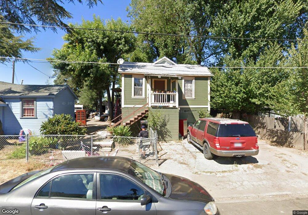
1112 George St Napa, CA 94558
McPherson NeighborhoodEstimated Value: $770,000 - $950,478
Studio
--
Bath
--
Sq Ft
8,712
Sq Ft
About This Home
This home is located at 1112 George St, Napa, CA 94558 and is currently estimated at $830,620. 1112 George St is a home located in Napa County with nearby schools including McPherson Elementary School, Silverado Middle School, and Napa High School.
Ownership History
Date
Name
Owned For
Owner Type
Purchase Details
Closed on
May 24, 2022
Sold by
Garibay and Martina
Bought by
Garibay Alfonso and Valencia Martina
Current Estimated Value
Home Financials for this Owner
Home Financials are based on the most recent Mortgage that was taken out on this home.
Original Mortgage
$682,500
Outstanding Balance
$644,671
Interest Rate
5.11%
Mortgage Type
New Conventional
Estimated Equity
$185,949
Purchase Details
Closed on
Dec 20, 2006
Sold by
Wolter Charlotte S and The Survivors Trust Of The Wol
Bought by
Garibay Alfonso and Garibay Martina
Home Financials for this Owner
Home Financials are based on the most recent Mortgage that was taken out on this home.
Original Mortgage
$428,000
Interest Rate
6.33%
Mortgage Type
Purchase Money Mortgage
Purchase Details
Closed on
Jan 29, 2002
Sold by
Wolter Charlotte S and Wolter Family 1992 Revocable T
Bought by
Wolter Charlotte S and Wolter Family 1992 Revocable T
Create a Home Valuation Report for This Property
The Home Valuation Report is an in-depth analysis detailing your home's value as well as a comparison with similar homes in the area
Home Values in the Area
Average Home Value in this Area
Purchase History
| Date | Buyer | Sale Price | Title Company |
|---|---|---|---|
| Garibay Alfonso | -- | New Title Company Name | |
| Garibay Alfonso | $535,000 | Napa Land Title Company | |
| Wolter Charlotte S | -- | -- |
Source: Public Records
Mortgage History
| Date | Status | Borrower | Loan Amount |
|---|---|---|---|
| Open | Garibay Alfonso | $682,500 | |
| Previous Owner | Garibay Alfonso | $428,000 |
Source: Public Records
Tax History
| Year | Tax Paid | Tax Assessment Tax Assessment Total Assessment is a certain percentage of the fair market value that is determined by local assessors to be the total taxable value of land and additions on the property. | Land | Improvement |
|---|---|---|---|---|
| 2025 | $9,232 | $716,774 | $368,436 | $348,338 |
| 2024 | $9,006 | $702,720 | $361,212 | $341,508 |
| 2023 | $9,006 | $688,942 | $354,130 | $334,812 |
| 2022 | $8,884 | $675,435 | $347,187 | $328,248 |
| 2021 | $8,890 | $662,192 | $340,380 | $321,812 |
| 2020 | $8,891 | $655,403 | $336,890 | $318,513 |
| 2019 | $8,696 | $642,553 | $330,285 | $312,268 |
| 2018 | $8,558 | $629,955 | $323,809 | $306,146 |
| 2017 | $8,367 | $617,604 | $317,460 | $300,144 |
| 2016 | $8,144 | $605,495 | $311,236 | $294,259 |
| 2015 | $7,591 | $596,400 | $306,561 | $289,839 |
| 2014 | $7,473 | $584,718 | $300,556 | $284,162 |
Source: Public Records
Map
Nearby Homes
- 2325 Georgia St
- 2057 Brown St
- 2019 Brown St
- 2005 Adrian St
- 2407 Norton St
- 2430 Yajome St
- 29 Valley West Cir
- 770 Lincoln Ave Unit 23
- 770 Lincoln Ave Unit 62
- 1759 G St
- 1350 Pueblo Ave Unit 346
- 3130 Jefferson St Unit 54
- 1418 B St
- 2031 Lee Ave
- 23 Glenwood Dr
- 1532 Jefferson St
- 828 Laguna St
- 1145 Eggleston St
- 1763 E St
- 1698 D St
Your Personal Tour Guide
Ask me questions while you tour the home.