1112 Long Branch Rd Smithfield, NC 27577
Estimated Value: $149,000 - $307,000
2
Beds
2
Baths
1,774
Sq Ft
$145/Sq Ft
Est. Value
About This Home
This home is located at 1112 Long Branch Rd, Smithfield, NC 27577 and is currently estimated at $256,494, approximately $144 per square foot. 1112 Long Branch Rd is a home located in Johnston County with nearby schools including West Smithfield Elementary School, Smithfield Middle School, and Smithfield-Selma High School.
Ownership History
Date
Name
Owned For
Owner Type
Purchase Details
Closed on
Jun 9, 2017
Sold by
Mckenzie James W and Mckenzie Joellen P
Bought by
Mckenzie James W and Kckenzie Joellen P
Current Estimated Value
Purchase Details
Closed on
Jan 14, 2011
Sold by
Mckenzie Estelle M
Bought by
Mckenzie James W
Purchase Details
Closed on
Feb 21, 2006
Sold by
Mckenzie Wilton and Mckenzie Estelle M
Bought by
Lee Sammy and Mckenzie Lee Leigh
Create a Home Valuation Report for This Property
The Home Valuation Report is an in-depth analysis detailing your home's value as well as a comparison with similar homes in the area
Home Values in the Area
Average Home Value in this Area
Purchase History
| Date | Buyer | Sale Price | Title Company |
|---|---|---|---|
| Mckenzie James W | -- | None Available | |
| Mckenzie James W | -- | None Available | |
| Lee Sammy | -- | None Available |
Source: Public Records
Tax History Compared to Growth
Tax History
| Year | Tax Paid | Tax Assessment Tax Assessment Total Assessment is a certain percentage of the fair market value that is determined by local assessors to be the total taxable value of land and additions on the property. | Land | Improvement |
|---|---|---|---|---|
| 2025 | $521 | $204,970 | $53,240 | $151,730 |
| 2024 | $502 | $124,040 | $25,270 | $98,770 |
| 2023 | $986 | $124,040 | $25,270 | $98,770 |
| 2022 | $1,036 | $124,040 | $25,270 | $98,770 |
| 2021 | $1,005 | $124,040 | $25,270 | $98,770 |
| 2020 | $1,042 | $124,040 | $25,270 | $98,770 |
| 2019 | $1,042 | $124,040 | $25,270 | $98,770 |
| 2018 | $950 | $110,460 | $21,780 | $88,680 |
| 2017 | $1,622 | $466,240 | $352,980 | $113,260 |
| 2016 | $1,622 | $466,240 | $352,980 | $113,260 |
| 2015 | $1,471 | $466,240 | $352,980 | $113,260 |
| 2014 | $1,471 | $466,240 | $352,980 | $113,260 |
Source: Public Records
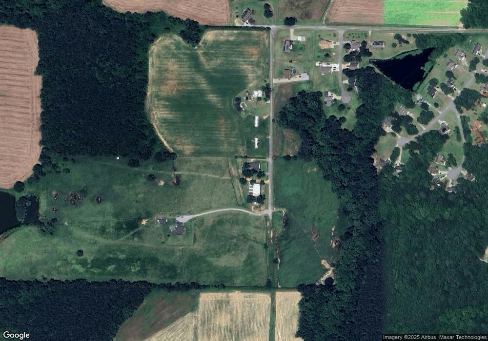
Map
Nearby Homes
- 25 Lawrence Ct
- 72 Hound Dog Ln
- 73 S Rabbit Run Dr
- 16 Tanseyleaf Dr
- 220 Raptor Dr
- 66 S Hawks Ridge Ln
- 267 Red Hawk Place
- 28 Hagood St
- 120 Red Hawk Place
- 10 Silver Ct
- 146 Cheshire Farm Dr
- 82 Cheshire Farm Dr
- 311 Lassiter Rd
- 52 Cheshire Farm Dr
- 22 Cheshire Farms Dr
- The Avondale Plan at Cheshire
- The Lancaster Plan at Cheshire
- The Avery Plan at Cheshire
- The McGinnis Plan at Cheshire
- The Ellijay Plan at Cheshire
- 1030 Long Branch Rd
- 1130 Long Branch Rd
- 90 Mossburg Ln
- 46 Mossburg Ln
- Lot 2 Mossburg Ln
- Lot 5 Mossburg Ln
- Lot 5 Mossburg Ln Unit 5
- Lot 2 Mossburg Ln Unit 2
- 1025 Long Branch Rd
- 91 Mossburg Ln
- 196 Peacemaker Ln
- 22 Mossburg Ln
- 936 Long Branch Rd
- 190 Peacemaker Ln
- 190 Peacemaker Ln Unit LT 17
- 185 Peacemaker Ln
- 21 Mossburg Ln
- 164 Peacemaker Ln
- 815 Long Branch Rd
- 96 Dodge Ln