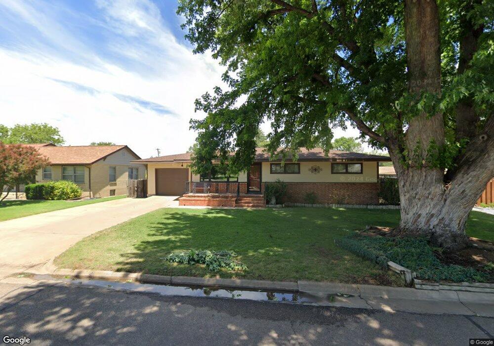
1112 Longbranch Rd Dodge City, KS 67801
Estimated Value: $178,484 - $198,000
2
Beds
3
Baths
1,726
Sq Ft
$109/Sq Ft
Est. Value
About This Home
This home is located at 1112 Longbranch Rd, Dodge City, KS 67801 and is currently estimated at $187,621, approximately $108 per square foot. 1112 Longbranch Rd is a home located in Ford County with nearby schools including Dodge City High School and Sacred Heart Cathedral School.
Ownership History
Date
Name
Owned For
Owner Type
Purchase Details
Closed on
Sep 1, 1990
Bought by
Spohr Norman and Fbo Spohr, N & B Tr (Udt)
Current Estimated Value
Create a Home Valuation Report for This Property
The Home Valuation Report is an in-depth analysis detailing your home's value as well as a comparison with similar homes in the area
Home Values in the Area
Average Home Value in this Area
Purchase History
| Date | Buyer | Sale Price | Title Company |
|---|---|---|---|
| Spohr Norman | $73,500 | -- |
Source: Public Records
Tax History Compared to Growth
Tax History
| Year | Tax Paid | Tax Assessment Tax Assessment Total Assessment is a certain percentage of the fair market value that is determined by local assessors to be the total taxable value of land and additions on the property. | Land | Improvement |
|---|---|---|---|---|
| 2025 | $2,449 | $16,944 | $1,842 | $15,102 |
| 2024 | $2,449 | $16,137 | $1,727 | $14,410 |
| 2023 | $2,611 | $15,516 | $1,727 | $13,789 |
| 2022 | $2,597 | $14,919 | $1,340 | $13,579 |
| 2021 | $2,572 | $14,484 | $981 | $13,503 |
| 2020 | $2,559 | $14,341 | $981 | $13,360 |
| 2019 | $2,571 | $14,341 | $981 | $13,360 |
| 2018 | $2,485 | $13,829 | $981 | $12,848 |
| 2017 | $2,487 | $13,605 | $850 | $12,755 |
| 2016 | $2,514 | $13,582 | $850 | $12,732 |
| 2015 | $2,296 | $13,259 | $898 | $12,361 |
| 2014 | $2,296 | $13,167 | $905 | $12,262 |
Source: Public Records
Map
Nearby Homes
- 1206 W McArtor Rd
- 809 Prospect Ave
- 00000 S 14th Ave
- 812 Kelley Ave
- 1300 Marboeuf Blvd
- 1304 Marboeuf Blvd
- 1306 Marboeuf Blvd
- 126 W Market St
- 1305 Middle Rd
- 521 Sunnyside Ave
- 815 Gilman Ave
- 808 Gilman Ave
- 609 Sunflower Ave
- 1601 El Rio Rd
- 215 E Beeson Rd
- 207 Robinson St
- 212 King St
- 55 Mustang Rd
- 431 E Beeson Rd
- 107 N 14th Ave
- 1114 Longbranch Rd
- 1110 Longbranch Rd
- 1202 Longbranch Rd
- 1108 Longbranch Rd
- 1107 Longbranch Rd
- 1106 Longbranch Rd
- 1204 Longbranch Rd
- 1109 W Beeson Rd
- 1111 W Beeson Rd
- 1113 W Beeson Rd
- 1104 Longbranch Rd
- 1103 Longbranch Rd
- 1107 W Beeson Rd
- 1105 Longbranch Rd
- 1203 W Beeson Rd
- 1206 Longbranch Rd
- 1105 W Beeson Rd
- 1205 W Beeson Rd
- 1103 W Beeson Rd
- 1208 Longbranch Rd