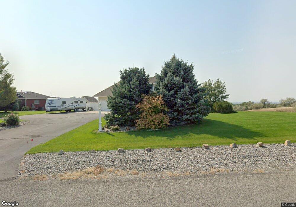
1112 Longview Rd Laurel, MT 59044
Estimated Value: $732,000 - $781,000
4
Beds
5
Baths
4,240
Sq Ft
$179/Sq Ft
Est. Value
About This Home
This home is located at 1112 Longview Rd, Laurel, MT 59044 and is currently estimated at $758,362, approximately $178 per square foot. 1112 Longview Rd is a home with nearby schools including Fred W. Graff School, West School, and Laurel Middle School.
Ownership History
Date
Name
Owned For
Owner Type
Purchase Details
Closed on
Mar 31, 2022
Sold by
Short and Sandra
Bought by
Nelson Robert Y and Nelson Mary T
Current Estimated Value
Purchase Details
Closed on
Sep 30, 2015
Sold by
Kvilhaug Connie A and Kvilhaug Constance Rae
Bought by
Johnson Willy W and Johnson Julie A
Home Financials for this Owner
Home Financials are based on the most recent Mortgage that was taken out on this home.
Original Mortgage
$63,857
Interest Rate
3.89%
Mortgage Type
Unknown
Create a Home Valuation Report for This Property
The Home Valuation Report is an in-depth analysis detailing your home's value as well as a comparison with similar homes in the area
Home Values in the Area
Average Home Value in this Area
Purchase History
| Date | Buyer | Sale Price | Title Company |
|---|---|---|---|
| Nelson Robert Y | -- | First American Title | |
| Johnson Willy W | -- | None Available |
Source: Public Records
Mortgage History
| Date | Status | Borrower | Loan Amount |
|---|---|---|---|
| Previous Owner | Johnson Willy W | $63,857 |
Source: Public Records
Tax History
| Year | Tax Paid | Tax Assessment Tax Assessment Total Assessment is a certain percentage of the fair market value that is determined by local assessors to be the total taxable value of land and additions on the property. | Land | Improvement |
|---|---|---|---|---|
| 2025 | $4,420 | $705,300 | $109,823 | $595,477 |
| 2024 | $4,420 | $640,000 | $85,102 | $554,898 |
| 2023 | $4,419 | $640,000 | $85,102 | $554,898 |
| 2022 | $3,447 | $534,000 | $0 | $0 |
| 2021 | $3,747 | $530,500 | $0 | $0 |
| 2020 | $3,675 | $501,900 | $0 | $0 |
| 2019 | $3,539 | $501,900 | $0 | $0 |
| 2018 | $3,946 | $486,000 | $0 | $0 |
| 2017 | $3,582 | $486,000 | $0 | $0 |
| 2016 | $3,317 | $454,600 | $0 | $0 |
| 2015 | $3,268 | $454,600 | $0 | $0 |
| 2014 | $2,763 | $203,944 | $0 | $0 |
Source: Public Records
Map
Nearby Homes
- 1031 Fir Ave
- 1104 E 8th St
- 1108 E 8th St
- 605 Date Ave
- 717 E 5th, 506 Alder Ave
- 717 E 5th St
- 601 E 5th St
- 801 E 4th St
- 1319 Valley Dr
- 516 Pennsylvania Ave
- 414 Wyoming Ave
- 1665 Wild Lupine Ln
- 110 E 5th St
- 1631 Valley Dr
- 603 5th Ave
- 1216 W 12th Street Cir
- 1254 W Beartooth Dr
- 1109 10th Ave
- 319 6th Ave
- 116 4th Ave
- 1150 Longview Rd
- 1310 Hill Crest Ave
- 1123 Longview Rd
- 1200 Longview Rd
- 1119 Longview Rd
- 1205 Longview Rd
- 000 Longview Rd
- 0 Longview Rd
- 1214 Longview Rd
- 1030 Longview Rd
- 1207 Hillbrooke Ave
- 1215 Longview Rd
- 1115 Longview Rd
- 1225 Longview Rd
- 1224 Longview Rd
- 1333 Hill Crest Ave
- 1370 Hill Crest Ave
- 1190 Hillbrooke Ave
- 1338 Hill Crest Ave
- 1131 Ridge Dr
Your Personal Tour Guide
Ask me questions while you tour the home.