1112 Lyles Ln Raymond, MS 39154
Estimated Value: $167,492 - $235,000
3
Beds
2
Baths
1,600
Sq Ft
$131/Sq Ft
Est. Value
About This Home
This home is located at 1112 Lyles Ln, Raymond, MS 39154 and is currently estimated at $209,873, approximately $131 per square foot. 1112 Lyles Ln is a home located in Hinds County with nearby schools including Clinton Park Elementary School, Eastside Elementary School, and Northside Elementary School.
Ownership History
Date
Name
Owned For
Owner Type
Purchase Details
Closed on
May 24, 2021
Sold by
Dees Mattheew M and Lindsey Alesha D
Bought by
Henson Jeffrey Ceasar and Henson Vicky O
Current Estimated Value
Purchase Details
Closed on
Jul 7, 2014
Bought by
Dees Matthew M and Lindsey Alesha D
Home Financials for this Owner
Home Financials are based on the most recent Mortgage that was taken out on this home.
Original Mortgage
$85,424
Interest Rate
4.4%
Mortgage Type
FHA
Create a Home Valuation Report for This Property
The Home Valuation Report is an in-depth analysis detailing your home's value as well as a comparison with similar homes in the area
Home Values in the Area
Average Home Value in this Area
Purchase History
| Date | Buyer | Sale Price | Title Company |
|---|---|---|---|
| Henson Jeffrey Ceasar | -- | None Available | |
| Dees Matthew M | -- | -- |
Source: Public Records
Mortgage History
| Date | Status | Borrower | Loan Amount |
|---|---|---|---|
| Previous Owner | Dees Matthew M | $85,424 |
Source: Public Records
Tax History Compared to Growth
Tax History
| Year | Tax Paid | Tax Assessment Tax Assessment Total Assessment is a certain percentage of the fair market value that is determined by local assessors to be the total taxable value of land and additions on the property. | Land | Improvement |
|---|---|---|---|---|
| 2025 | $691 | $8,238 | $2,930 | $5,308 |
| 2024 | $691 | $8,241 | $2,933 | $5,308 |
| 2023 | $691 | $8,238 | $2,930 | $5,308 |
| 2022 | $1,455 | $12,357 | $4,395 | $7,962 |
| 2021 | $670 | $8,238 | $2,930 | $5,308 |
| 2020 | $644 | $8,157 | $2,930 | $5,227 |
| 2019 | $638 | $8,157 | $2,930 | $5,227 |
| 2018 | $638 | $8,157 | $2,930 | $5,227 |
| 2017 | $616 | $8,157 | $2,930 | $5,227 |
| 2016 | $616 | $8,157 | $2,930 | $5,227 |
| 2015 | $601 | $8,031 | $2,930 | $5,101 |
| 2014 | $1,328 | $12,047 | $4,395 | $7,652 |
Source: Public Records
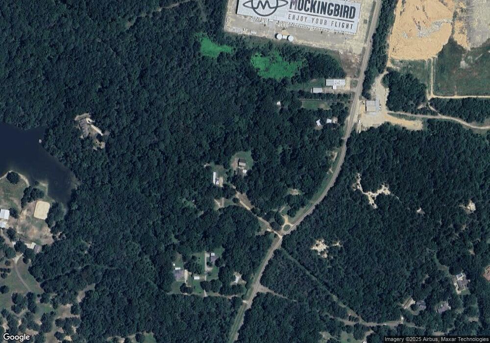
Map
Nearby Homes
- 714 Laney Dr
- 727 Laney Dr
- 105 Oklahoma Dr
- 221 W Virginia Dr
- 0 Drexel Cir Unit 4126049
- 1657 Wells Rd
- 6133 N McRaven Rd
- 6558 Grandview Cove
- 109 Herring Dr
- 0 Emily Way Dr Unit 4025182
- 219 Willow Brook Dr
- 0 Highway 18 Hwy Unit 25181384
- 0 Highway 18 Hwy Unit 25063412
- 0 Highway 18 Hwy Unit 23569693
- 0 Highway 18 Hwy Unit 23569689
- 0 Highway 18 Hwy Unit 23569695
- 0 Highway 18 Hwy Unit 23569694
- 0 Highway 18 Hwy Unit 23569692
- 0 Highway 18 Hwy Unit 23569691
- 0 Highway 18 Hwy Unit 23569696
- 1112 Lyles Ln
- 1905 Springridge Rd Unit sec 7
- 1905 Springridge Rd
- 1859 Springridge Rd
- 1047 Lyles Ln
- 1671 Springridge Rd
- 1979 Springridge Rd
- 1717 Springridge Rd Unit & 1719
- 1717 Springridge Rd
- 0 Springridge Rd
- 2035 Springridge Rd
- 1981 Springridge Rd
- 2075 Springridge Rd
- 1 Vance Dr
- 207 Vance Dr
- 0 Spears Trace Unit Lot 1
- 0 Spears Trace Unit Lot 2
- 0 Spears Trace Unit 1138775
- 0 Spears Trace Unit Lot 2 1198154
- 0 Spears Trace Unit Lot 1 1198153