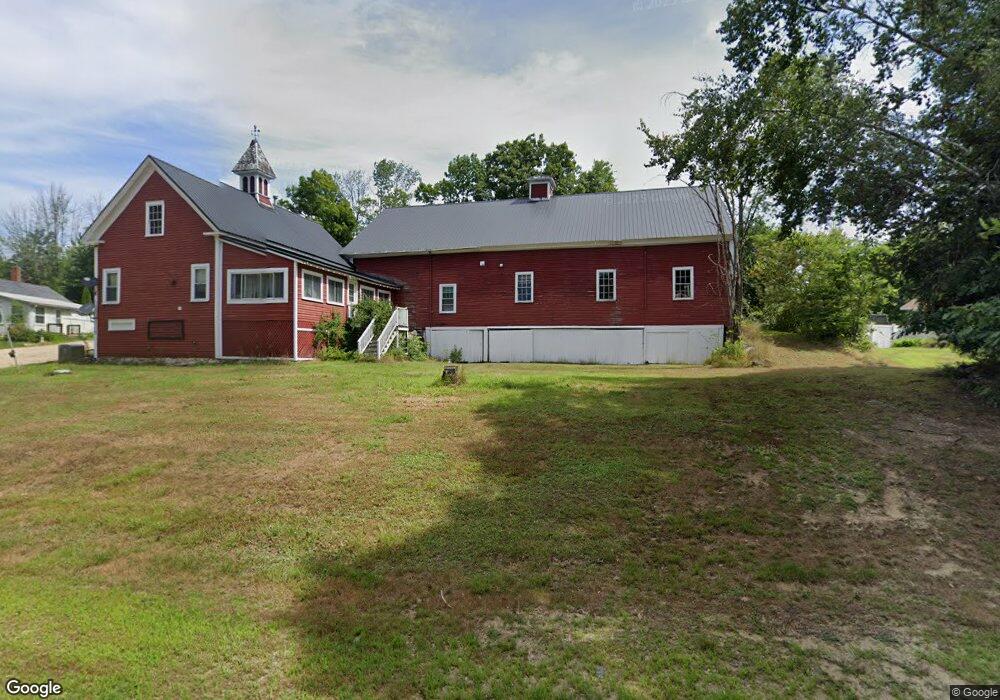
1112 Province Rd Unit 1 Strafford, NH 03884
Estimated Value: $544,445 - $730,000
3
Beds
1
Bath
1,152
Sq Ft
$552/Sq Ft
Est. Value
About This Home
This home is located at 1112 Province Rd Unit 1, Strafford, NH 03884 and is currently estimated at $635,611, approximately $551 per square foot. 1112 Province Rd Unit 1 is a home located in Strafford County with nearby schools including Strafford School and Coe-Brown Northwood Academy.
Ownership History
Date
Name
Owned For
Owner Type
Purchase Details
Closed on
Apr 15, 2005
Sold by
Bradford Realty
Bought by
Unger Walter M and Unger Cornelia M
Current Estimated Value
Home Financials for this Owner
Home Financials are based on the most recent Mortgage that was taken out on this home.
Original Mortgage
$164,700
Interest Rate
5.78%
Mortgage Type
Adjustable Rate Mortgage/ARM
Create a Home Valuation Report for This Property
The Home Valuation Report is an in-depth analysis detailing your home's value as well as a comparison with similar homes in the area
Home Values in the Area
Average Home Value in this Area
Purchase History
| Date | Buyer | Sale Price | Title Company |
|---|---|---|---|
| Unger Walter M | $183,000 | -- |
Source: Public Records
Mortgage History
| Date | Status | Borrower | Loan Amount |
|---|---|---|---|
| Open | Unger Walter M | $208,000 | |
| Closed | Unger Walter M | $164,700 |
Source: Public Records
Tax History Compared to Growth
Tax History
| Year | Tax Paid | Tax Assessment Tax Assessment Total Assessment is a certain percentage of the fair market value that is determined by local assessors to be the total taxable value of land and additions on the property. | Land | Improvement |
|---|---|---|---|---|
| 2024 | $6,957 | $352,100 | $95,600 | $256,500 |
| 2023 | $6,554 | $351,600 | $95,600 | $256,000 |
| 2022 | $6,023 | $351,600 | $95,600 | $256,000 |
| 2021 | $6,491 | $351,600 | $95,600 | $256,000 |
| 2020 | $7,346 | $286,400 | $95,300 | $191,100 |
| 2019 | $6,809 | $290,100 | $95,300 | $194,800 |
| 2018 | $6,855 | $290,100 | $95,300 | $194,800 |
| 2016 | $6,165 | $290,100 | $95,300 | $194,800 |
| 2015 | $6,205 | $284,500 | $112,400 | $172,100 |
| 2014 | $6,589 | $284,500 | $112,400 | $172,100 |
| 2013 | $6,276 | $276,700 | $112,400 | $164,300 |
| 2012 | $6,231 | $278,400 | $112,400 | $166,000 |
Source: Public Records
Map
Nearby Homes
- 133 & 137 Browns Pasture Rd
- Map 3 Lot 18-2b and 18-2c Water St
- 1760 Province Rd
- 11 Drake Hill Rd
- Map 102 Lot 9 Kramas Ln
- Map 219 Lot 6-8 Ridge Rd
- M37 L40 Beaver Rd
- 152 Evans Rd
- 8 Bow Lake Rd
- 0 1st New Hampshire Turnpike Unit 5026030
- 0 1st New Hampshire Turnpike Unit 5013320
- 150A 1st New Hampshire Turnpike
- 21 Quimby Dr
- 20 Quimby Dr
- 268 Province Rd
- 64 Kelsey Mill Rd
- 17 Brook Circle Rd
- R11 07 Clough Rd
- 152 Olde Canterbury Rd
- 955 Catamount Rd
- 1112 Province Rd
- 1100 Province Rd
- 1114 Province Rd
- Lot 90 Bow Lake Estates Rd Unit 90
- TBD Province Rd
- 1105 Province Rd
- 1095 Province Rd
- 87 Bow Lake Estates Rd
- 119 Bow Lake Estates Rd
- 1132 Province Rd
- 6 Bow Lake Estates Rd
- 1082 Province Rd
- 1137 Province Rd
- 1134 Province Rd
- 21 Bow Lake Estates Rd
- 1146 Province Rd
- 1150 Province Rd
- 160 Bow Lake Estates Rd
- 158 Bow Lake Estates Rd
- 1068 Province Rd