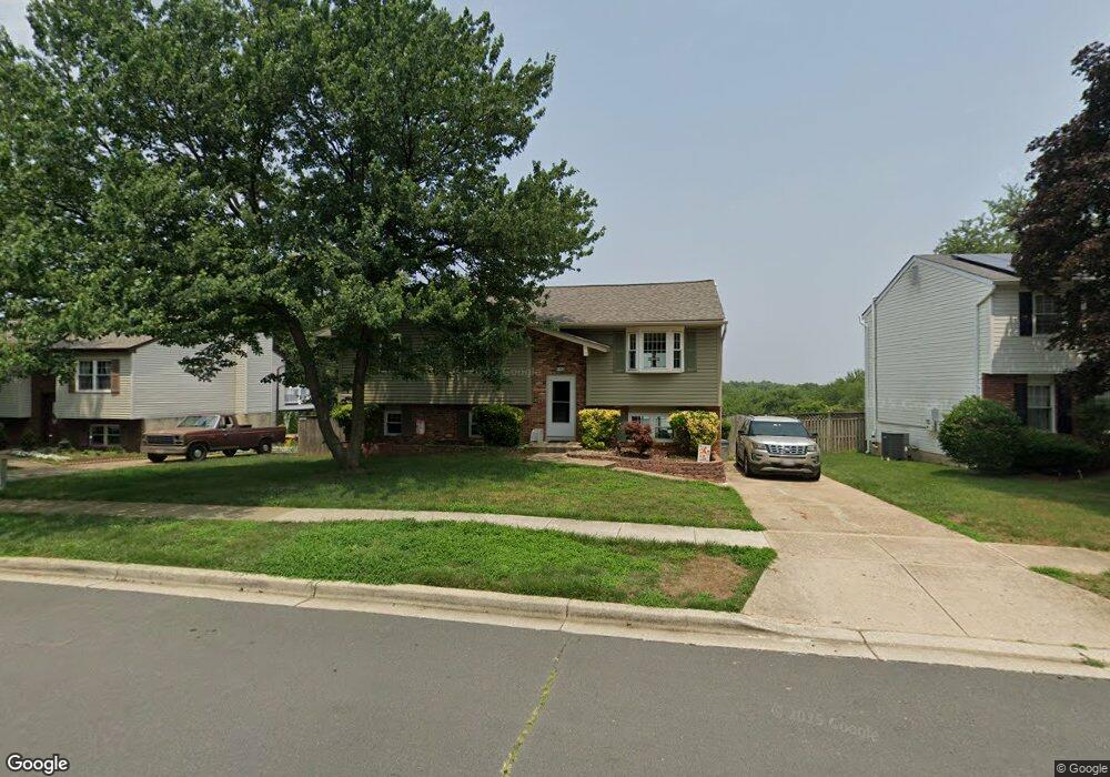
1112 Silverleaf Dr Arnold, MD 21012
Estimated Value: $410,618 - $499,000
Studio
2
Baths
1,074
Sq Ft
$431/Sq Ft
Est. Value
About This Home
This home is located at 1112 Silverleaf Dr, Arnold, MD 21012 and is currently estimated at $463,155, approximately $431 per square foot. 1112 Silverleaf Dr is a home located in Anne Arundel County with nearby schools including Broadneck Elementary School, Magothy River Middle School, and Broadneck High School.
Ownership History
Date
Name
Owned For
Owner Type
Purchase Details
Closed on
Oct 23, 2025
Sold by
Seggerty Steven and Seggerty Karen
Bought by
Karen And Steve Seggerty Revocable Living Tru and Seggerty
Current Estimated Value
Purchase Details
Closed on
Jun 29, 1990
Sold by
Merica William D
Bought by
Seggerty Steven W and Seggerty Karen D
Home Financials for this Owner
Home Financials are based on the most recent Mortgage that was taken out on this home.
Original Mortgage
$122,350
Interest Rate
10.15%
Create a Home Valuation Report for This Property
The Home Valuation Report is an in-depth analysis detailing your home's value as well as a comparison with similar homes in the area
Home Values in the Area
Average Home Value in this Area
Purchase History
| Date | Buyer | Sale Price | Title Company |
|---|---|---|---|
| Karen And Steve Seggerty Revocable Living Tru | -- | None Listed On Document | |
| Seggerty Steven W | $120,000 | -- |
Source: Public Records
Mortgage History
| Date | Status | Borrower | Loan Amount |
|---|---|---|---|
| Previous Owner | Seggerty Steven W | $122,350 |
Source: Public Records
Tax History
| Year | Tax Paid | Tax Assessment Tax Assessment Total Assessment is a certain percentage of the fair market value that is determined by local assessors to be the total taxable value of land and additions on the property. | Land | Improvement |
|---|---|---|---|---|
| 2025 | $3,134 | $384,467 | -- | -- |
| 2024 | $3,134 | $361,200 | $229,700 | $131,500 |
| 2023 | $3,050 | $356,767 | $0 | $0 |
| 2022 | $2,857 | $352,333 | $0 | $0 |
| 2020 | $2,718 | $335,867 | $0 | $0 |
| 2019 | $2,669 | $323,833 | $0 | $0 |
| 2018 | $3,162 | $311,800 | $172,200 | $139,600 |
| 2017 | $2,517 | $307,667 | $0 | $0 |
| 2016 | -- | $303,533 | $0 | $0 |
| 2015 | -- | $299,400 | $0 | $0 |
| 2014 | -- | $287,333 | $0 | $0 |
Source: Public Records
Map
Nearby Homes
- 1108 Silverleaf Dr
- 303 Ternwing Dr
- 930 Whitstable Blvd
- 876 Nancy Lynn Ln
- 1233 Birchcrest Ct
- 308 Clifton Ave
- 1078 Brightleaf Ct
- 312 Rosslare Dr
- 434 College Pkwy
- 1176 White Coral Ct
- 319 Alameda Pkwy
- 554 Melissa Ct
- 342 Buena Vista Ave
- 525 Loughton Ln
- 805 Barrett Ave
- 394 Kings College Dr
- 404 Alameda Pkwy
- 508 Bay Hills Dr
- 136 Collington Ct
- 1117 Canterwood Place
- 1110 Silverleaf Dr
- 1114 Silverleaf Dr
- 300 Overleaf Ct
- 1116 Silverleaf Dr
- 313 Ternwing Dr
- 296 Overleaf Ct
- 1105 Silverleaf Dr
- 1103 Silverleaf Dr
- 1107 Silverleaf Dr
- 315 Ternwing Dr
- 1109 Silverleaf Dr
- 1101 Silverleaf Dr
- 294 Overleaf Ct
- 299 Overleaf Ct
- 317 Ternwing Dr
- 292 Overleaf Ct
- 1113 Silverleaf Dr
- 307 Ternwing Dr
- 297 Overleaf Ct
- 1115 Silverleaf Dr
Your Personal Tour Guide
Ask me questions while you tour the home.