11120 Lowell Rd Dewitt, MI 48820
Estimated Value: $180,000 - $269,000
3
Beds
1
Bath
1,294
Sq Ft
$172/Sq Ft
Est. Value
About This Home
This home is located at 11120 Lowell Rd, Dewitt, MI 48820 and is currently estimated at $222,840, approximately $172 per square foot. 11120 Lowell Rd is a home located in Clinton County with nearby schools including St. Johns High School.
Ownership History
Date
Name
Owned For
Owner Type
Purchase Details
Closed on
Oct 1, 2019
Sold by
Schafer Debbie A
Bought by
Grandcham Tim W
Current Estimated Value
Home Financials for this Owner
Home Financials are based on the most recent Mortgage that was taken out on this home.
Original Mortgage
$117,826
Outstanding Balance
$105,458
Interest Rate
4.62%
Mortgage Type
FHA
Estimated Equity
$117,382
Purchase Details
Closed on
Jun 19, 2015
Sold by
Schafer Joyce L
Bought by
Schafer Debbie A
Purchase Details
Closed on
Oct 21, 2004
Sold by
Schafer Joyce L and Schafer Ernest W
Bought by
Schafer Joyce L and Schafer Debbie A
Create a Home Valuation Report for This Property
The Home Valuation Report is an in-depth analysis detailing your home's value as well as a comparison with similar homes in the area
Home Values in the Area
Average Home Value in this Area
Purchase History
| Date | Buyer | Sale Price | Title Company |
|---|---|---|---|
| Grandcham Tim W | $120,000 | None Available | |
| Schafer Debbie A | -- | Attorney | |
| Schafer Joyce L | -- | -- |
Source: Public Records
Mortgage History
| Date | Status | Borrower | Loan Amount |
|---|---|---|---|
| Open | Grandcham Tim W | $117,826 |
Source: Public Records
Tax History
| Year | Tax Paid | Tax Assessment Tax Assessment Total Assessment is a certain percentage of the fair market value that is determined by local assessors to be the total taxable value of land and additions on the property. | Land | Improvement |
|---|---|---|---|---|
| 2025 | $2,249 | $86,700 | $27,550 | $59,150 |
| 2024 | $9 | $80,800 | $25,000 | $55,800 |
| 2023 | $814 | $73,050 | $0 | $0 |
| 2022 | $2,040 | $67,150 | $19,650 | $47,500 |
| 2021 | $1,985 | $65,750 | $19,600 | $46,150 |
| 2020 | $1,837 | $62,500 | $18,450 | $44,050 |
| 2019 | $1,440 | $58,350 | $17,550 | $40,800 |
| 2018 | $1,397 | $56,350 | $15,200 | $41,150 |
| 2017 | $1,365 | $55,900 | $14,450 | $41,450 |
| 2016 | $1,365 | $53,000 | $13,400 | $39,600 |
| 2015 | $1,368 | $47,650 | $0 | $0 |
| 2011 | -- | $51,400 | $0 | $0 |
Source: Public Records
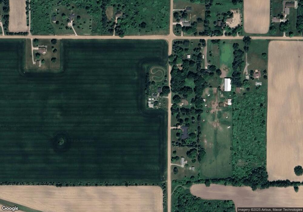
Map
Nearby Homes
- 10880 S Francis Rd
- 4975 W Cutler Rd
- 6260 W Chadwick Rd
- 11740 Kalamata Dr
- 3535 Stanwood Dr
- 14013 Ambrosia Ave
- 3893 Sage Ln
- 4083 W Herbison Rd
- 3343 Silverspring Dr
- 7713 Jon Scott Dr
- 3783 Wisteria Ln
- 00 Driftwood Dr
- 0 Driftwood Dr
- 1605 Stauffer Ln
- 13624 Sienna Pass
- 1226 S Geneva Dr
- 3421 Hawthorne Woods Pkwy
- 603 Cherry St
- 513 N Scott St
- 11471 S Bauer Rd
- 11131 Lowell Rd
- 11111 Lowell Rd
- 11163 Lowell Rd
- 5953 W Cutler Rd
- 5986 W Cutler Rd
- 11219 Lowell Rd
- 6078 W Cutler Rd
- 0 S Lowell Rd
- 5922 W Cutler Rd
- 5903 W Cutler Rd
- 10893 Lowell Rd
- 6148 W Cutler Rd
- 6219 W Cutler Rd
- 10883 Lowell Rd
- 10842 Lowell Rd
- 10855 Lowell Rd
- 10855 Lowell Rd
- 11301 Lowell Rd
- 5770 W Cutler Rd
- 10827 Lowell Rd
Your Personal Tour Guide
Ask me questions while you tour the home.