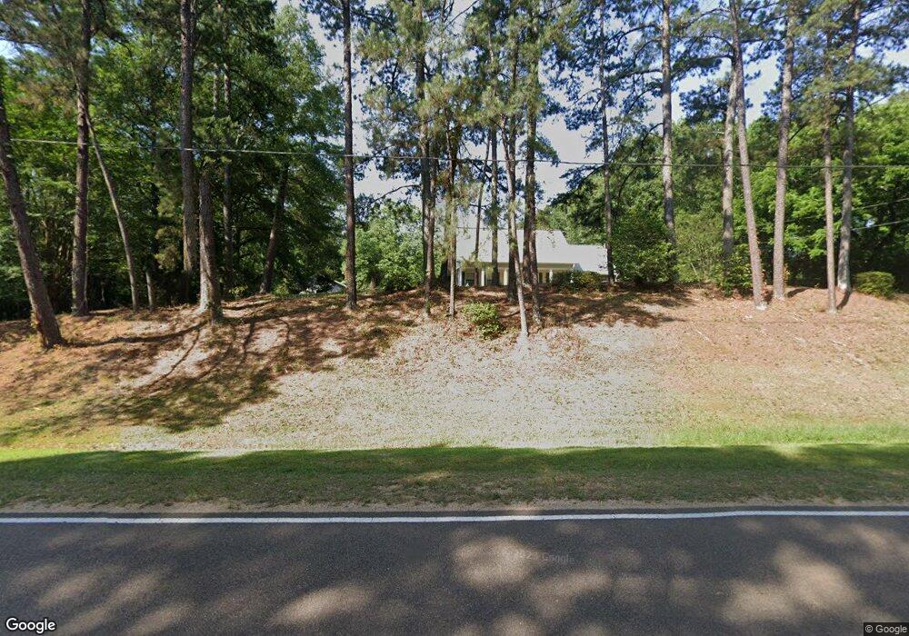
11122 Sylvarena Rd Wesson, MS 39191
Estimated Value: $219,000 - $285,000
Studio
2
Baths
2,393
Sq Ft
$107/Sq Ft
Est. Value
About This Home
This home is located at 11122 Sylvarena Rd, Wesson, MS 39191 and is currently estimated at $255,023, approximately $106 per square foot. 11122 Sylvarena Rd is a home located in Copiah County.
Ownership History
Date
Name
Owned For
Owner Type
Purchase Details
Closed on
Apr 29, 2014
Sold by
Blake Blake and Oberschmidt Amy
Bought by
Hargrove Gabriel A and Hargrove Christie A
Current Estimated Value
Home Financials for this Owner
Home Financials are based on the most recent Mortgage that was taken out on this home.
Original Mortgage
$168,581
Outstanding Balance
$128,586
Interest Rate
4.43%
Mortgage Type
VA
Estimated Equity
$126,437
Purchase Details
Closed on
Aug 3, 2006
Sold by
Mccrory Edgar F and Mccrory Wanda E
Bought by
Oberschmidt Blake and Oberschmidt Amy
Home Financials for this Owner
Home Financials are based on the most recent Mortgage that was taken out on this home.
Original Mortgage
$166,162
Interest Rate
6.74%
Mortgage Type
Purchase Money Mortgage
Create a Home Valuation Report for This Property
The Home Valuation Report is an in-depth analysis detailing your home's value as well as a comparison with similar homes in the area
Purchase History
| Date | Buyer | Sale Price | Title Company |
|---|---|---|---|
| Hargrove Gabriel A | -- | -- | |
| Oberschmidt Blake | -- | -- |
Source: Public Records
Mortgage History
| Date | Status | Borrower | Loan Amount |
|---|---|---|---|
| Open | Hargrove Gabriel A | $168,581 | |
| Previous Owner | Oberschmidt Blake | $166,162 |
Source: Public Records
Tax History
| Year | Tax Paid | Tax Assessment Tax Assessment Total Assessment is a certain percentage of the fair market value that is determined by local assessors to be the total taxable value of land and additions on the property. | Land | Improvement |
|---|---|---|---|---|
| 2025 | $1,953 | $17,869 | $0 | $0 |
| 2024 | $20 | $15,749 | $0 | $0 |
| 2023 | $1,974 | $15,749 | $0 | $0 |
| 2022 | $1,995 | $15,749 | $0 | $0 |
| 2021 | $1,940 | $15,749 | $0 | $0 |
| 2020 | $1,901 | $15,233 | $0 | $0 |
| 2019 | $1,924 | $15,233 | $0 | $0 |
| 2018 | $1,371 | $15,233 | $0 | $0 |
| 2017 | $2,433 | $15,233 | $0 | $0 |
| 2016 | $2,433 | $22,643 | $0 | $0 |
| 2015 | $1,352 | $22,643 | $0 | $0 |
| 2014 | $1,352 | $15,095 | $0 | $0 |
Source: Public Records
Map
Nearby Homes
- 1001 Lumley Ln
- 0 David Britt St
- 1079 Beech St
- 0 Sawders Ln
- 0 Loom St
- 1119 Milltowne Dr
- 0 00 Milltowne Dr
- 0 Milltownte Dr
- 596 Mount Zion Rd
- 589 Mount Zion Rd
- 594 Mount Zion Rd
- 2038 Rocky Hill Rd
- 0 Furrs Mill Dr NE
- 3066 New Sight Dr NE
- 2548 Furrs Mill Dr NE
- 3085 Beauregard Rd
- 4001 Stegall Rd
- 0 Anderson Rd
- 4069 Dixie Rd
- 4069 Dixie Garden Rd
Your Personal Tour Guide
Ask me questions while you tour the home.