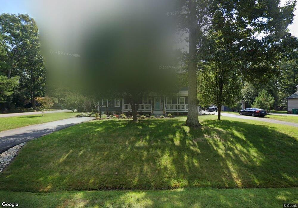
11129 Swift Flight Ln Glen Allen, VA 23059
Estimated Value: $410,000 - $459,047
3
Beds
2
Baths
1,521
Sq Ft
$285/Sq Ft
Est. Value
About This Home
This home is located at 11129 Swift Flight Ln, Glen Allen, VA 23059 and is currently estimated at $433,262, approximately $284 per square foot. 11129 Swift Flight Ln is a home located in Henrico County with nearby schools including Greenwood Elementary School, Hungary Creek Middle School, and Glen Allen High School.
Ownership History
Date
Name
Owned For
Owner Type
Purchase Details
Closed on
Aug 18, 2006
Sold by
Hurst Richard E
Bought by
Seay Mark W
Current Estimated Value
Home Financials for this Owner
Home Financials are based on the most recent Mortgage that was taken out on this home.
Original Mortgage
$156,000
Outstanding Balance
$94,016
Interest Rate
6.83%
Mortgage Type
New Conventional
Estimated Equity
$339,246
Create a Home Valuation Report for This Property
The Home Valuation Report is an in-depth analysis detailing your home's value as well as a comparison with similar homes in the area
Home Values in the Area
Average Home Value in this Area
Purchase History
| Date | Buyer | Sale Price | Title Company |
|---|---|---|---|
| Seay Mark W | $236,500 | -- |
Source: Public Records
Mortgage History
| Date | Status | Borrower | Loan Amount |
|---|---|---|---|
| Open | Seay Mark W | $156,000 |
Source: Public Records
Tax History Compared to Growth
Tax History
| Year | Tax Paid | Tax Assessment Tax Assessment Total Assessment is a certain percentage of the fair market value that is determined by local assessors to be the total taxable value of land and additions on the property. | Land | Improvement |
|---|---|---|---|---|
| 2025 | $3,267 | $372,600 | $65,000 | $307,600 |
| 2024 | $3,267 | $360,500 | $65,000 | $295,500 |
| 2023 | $3,064 | $360,500 | $65,000 | $295,500 |
| 2022 | $2,743 | $322,700 | $62,000 | $260,700 |
| 2021 | $2,570 | $285,100 | $57,000 | $228,100 |
| 2020 | $2,480 | $285,100 | $57,000 | $228,100 |
| 2019 | $2,435 | $279,900 | $57,000 | $222,900 |
| 2018 | $2,328 | $267,600 | $55,000 | $212,600 |
| 2017 | $2,195 | $252,300 | $50,000 | $202,300 |
| 2016 | $2,062 | $237,000 | $45,000 | $192,000 |
| 2015 | $1,972 | $226,700 | $45,000 | $181,700 |
| 2014 | $1,972 | $226,700 | $45,000 | $181,700 |
Source: Public Records
Map
Nearby Homes
- 11301 Brooks St
- 11300 Brooks St
- 2815 Rudwick Rd
- 10900 Bluebell Dr
- 2658 Forget me Not Ln
- 11601 Sethwarner Dr
- 10733 Forget me Not Way
- JAMESTOWN Plan at Sheppard Mill
- Hampton Plan at Sheppard Mill
- SUMMIT Plan at Sheppard Mill
- WESTERLY Plan at Sheppard Mill
- VANDERBILT Plan at Sheppard Mill
- 2512 Forget me Not Ln
- 3908 Lyons Mill Ln
- 3916 Lyons Mill Ln
- 2509 Forget me Not Ln
- 3002 Mountain Rd
- 2504 Forget me Not Ln
- 10708 Forget me Not Way
- 2501 Forget me Not Ln
- 11125 Swift Flight Ln
- 3025 Quail Walk Dr
- 3028 Quail Walk Dr
- 11121 Swift Flight Ln
- 3024 Quail Walk Dr
- 3032 Quail Walk Dr
- 11128 Swift Flight Ln
- 11132 Swift Flight Ln
- 3021 Quail Walk Dr
- 11124 Swift Flight Ln
- 11108 Quail Roost Ct
- 3036 Quail Walk Dr
- 3020 Quail Walk Dr
- 11117 Swift Flight Ln
- 11120 Swift Flight Ln
- 11109 Quail Roost Ct
- 3017 Quail Walk Dr
- 11133 Braxton Ave
- 3040 Quail Walk Dr
- 11137 Braxton Ave