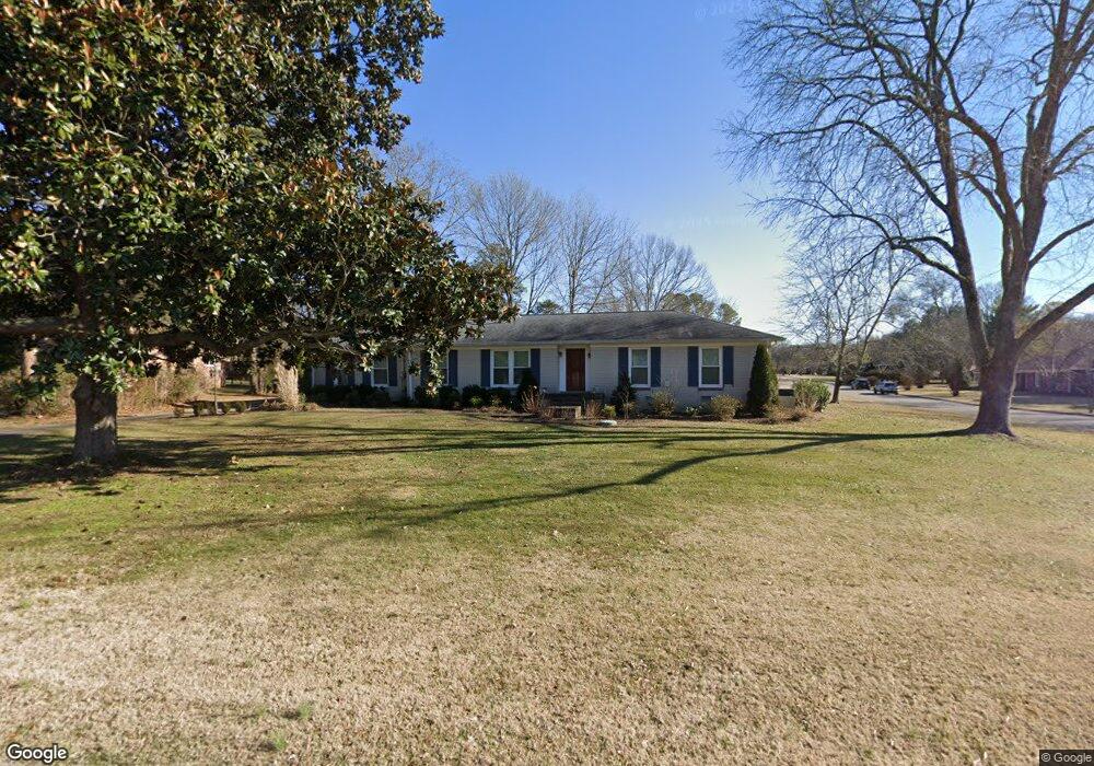
1113 Brookside Dr Franklin, TN 37069
Estimated Value: $585,743 - $783,000
Studio
2
Baths
1,527
Sq Ft
$467/Sq Ft
Est. Value
About This Home
This home is located at 1113 Brookside Dr, Franklin, TN 37069 and is currently estimated at $713,436, approximately $467 per square foot. 1113 Brookside Dr is a home located in Williamson County with nearby schools including Walnut Grove Elementary School, Grassland Middle School, and Franklin High School.
Ownership History
Date
Name
Owned For
Owner Type
Purchase Details
Closed on
Apr 15, 2003
Sold by
Cheeves Lyndell D and Cheeves Dorothy
Bought by
King Joseph E and King Susan L
Current Estimated Value
Home Financials for this Owner
Home Financials are based on the most recent Mortgage that was taken out on this home.
Original Mortgage
$116,500
Interest Rate
5.17%
Mortgage Type
Purchase Money Mortgage
Purchase Details
Closed on
Jun 24, 1997
Sold by
King Joseph E and Susan
Bought by
King Joseph E and Susan
Purchase Details
Closed on
May 30, 1997
Sold by
King Joseph E and Susan
Bought by
King Joseph E and Susan
Create a Home Valuation Report for This Property
The Home Valuation Report is an in-depth analysis detailing your home's value as well as a comparison with similar homes in the area
Purchase History
| Date | Buyer | Sale Price | Title Company |
|---|---|---|---|
| King Joseph E | -- | Franklin Title & Escrow Llc | |
| King Joseph E | -- | -- | |
| King Joseph E | $149,500 | -- |
Source: Public Records
Mortgage History
| Date | Status | Borrower | Loan Amount |
|---|---|---|---|
| Previous Owner | King Joseph E | $116,500 |
Source: Public Records
Tax History
| Year | Tax Paid | Tax Assessment Tax Assessment Total Assessment is a certain percentage of the fair market value that is determined by local assessors to be the total taxable value of land and additions on the property. | Land | Improvement |
|---|---|---|---|---|
| 2025 | $2,254 | $176,675 | $65,000 | $111,675 |
| 2024 | $2,254 | $119,875 | $35,000 | $84,875 |
| 2023 | $2,254 | $119,875 | $35,000 | $84,875 |
| 2022 | $2,254 | $119,875 | $35,000 | $84,875 |
| 2021 | $2,254 | $119,875 | $35,000 | $84,875 |
| 2020 | $1,562 | $70,350 | $22,500 | $47,850 |
| 2019 | $1,562 | $70,350 | $22,500 | $47,850 |
| 2018 | $1,513 | $70,350 | $22,500 | $47,850 |
| 2017 | $1,513 | $70,350 | $22,500 | $47,850 |
| 2016 | $1,513 | $70,350 | $22,500 | $47,850 |
Source: Public Records
Map
Nearby Homes
- 1109 Howell Dr
- 1927 Berrys Chapel Ct
- 201 Lake Ridge Ct
- 1001 Chapel Ct
- 113 Pine Circle Dr
- 504 Lake Valley Ct
- 148 Cavalcade Cir
- 508 Lake Valley Ct
- 604 Meadowgreen Dr
- 352 Cannonade Cir
- 406 Reigh Ct
- 902 Idlewild Ct
- 237 Halberton Dr
- 400 Stafford Close
- 18 Holland Park Ln Unit 18
- 346 Colt Ln
- 114 Stanton Hall Ln Unit 114
- 85 Alton Park Ln Unit 85
- 728 Legends Crest Dr
- 381 Lake Valley Dr
- 1117 Brookside Dr
- 1116 Hillview Dr
- 1109 Brookside Dr
- 1116 Brookside Dr
- 1121 Brookside Dr
- 1112 Brookside Dr
- 1013 Greenland Dr
- 1120 Brookside Dr
- 1124 Brookside Dr
- 1120 Hillview Dr
- 1113 Hillview Dr
- 1125 Brookside Dr
- 1117 Howell Dr
- 1121 Howell Dr
- 1128 Brookside Dr
- 1009 Greenland Dr
- 1105 Brookside Dr
- 1113 Howell Dr
- 100 Spencer Creek Rd
- 1125 Howell Dr
Your Personal Tour Guide
Ask me questions while you tour the home.