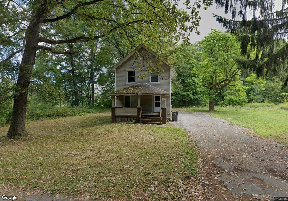
1113 Keogh Ave Youngstown, OH 44505
McGuffey Heights NeighborhoodEstimated Value: $46,695 - $83,000
3
Beds
1
Bath
1,240
Sq Ft
$55/Sq Ft
Est. Value
About This Home
This home is located at 1113 Keogh Ave, Youngstown, OH 44505 and is currently estimated at $68,674, approximately $55 per square foot. 1113 Keogh Ave is a home located in Mahoning County with nearby schools including M.L. King Elementary School, Williamson Elementary School, and East High School.
Ownership History
Date
Name
Owned For
Owner Type
Purchase Details
Closed on
Aug 26, 1997
Sold by
Mahoning County Sheriff
Bought by
The Mahoning National Bank Of Youngstown
Current Estimated Value
Purchase Details
Closed on
Jun 29, 1994
Sold by
Armes William C
Bought by
Womack Craig
Home Financials for this Owner
Home Financials are based on the most recent Mortgage that was taken out on this home.
Original Mortgage
$18,050
Interest Rate
8.18%
Mortgage Type
New Conventional
Create a Home Valuation Report for This Property
The Home Valuation Report is an in-depth analysis detailing your home's value as well as a comparison with similar homes in the area
Home Values in the Area
Average Home Value in this Area
Purchase History
| Date | Buyer | Sale Price | Title Company |
|---|---|---|---|
| The Mahoning National Bank Of Youngstown | $7,000 | -- | |
| Womack Craig | $19,000 | -- |
Source: Public Records
Mortgage History
| Date | Status | Borrower | Loan Amount |
|---|---|---|---|
| Previous Owner | Womack Craig | $18,050 |
Source: Public Records
Tax History
| Year | Tax Paid | Tax Assessment Tax Assessment Total Assessment is a certain percentage of the fair market value that is determined by local assessors to be the total taxable value of land and additions on the property. | Land | Improvement |
|---|---|---|---|---|
| 2025 | $286 | $6,600 | $400 | $6,200 |
| 2024 | $325 | $6,600 | $400 | $6,200 |
| 2023 | $322 | $6,600 | $400 | $6,200 |
| 2022 | $195 | $3,050 | $340 | $2,710 |
| 2021 | $195 | $3,050 | $340 | $2,710 |
| 2020 | $196 | $3,050 | $340 | $2,710 |
| 2019 | $205 | $2,830 | $320 | $2,510 |
| 2018 | $207 | $2,830 | $320 | $2,510 |
| 2017 | $211 | $2,830 | $320 | $2,510 |
| 2016 | $218 | $3,260 | $320 | $2,940 |
| 2015 | $214 | $3,260 | $320 | $2,940 |
| 2014 | $212 | $3,260 | $320 | $2,940 |
| 2013 | $210 | $3,260 | $320 | $2,940 |
Source: Public Records
Map
Nearby Homes
- 2849 McGuffey Rd
- 1214 Brighton St
- 1251 Jacobs Rd
- 1003 Liberty Rd
- 1720 Jacobs Rd
- 603 Liberty Rd
- 2526 Stocker Ave
- 206 Beachwood Dr
- 2051 Blair Ave
- 2915 Megan Cir
- V/L Jacobs Rd
- 3240 Oak Street Extension
- 3786 Choice Ct
- 146 Greeley Ln
- 32 Maranatha Dr
- 36 Maranatha Dr
- 24 Maranatha Dr
- 111 Bassett Ln
- 575 Woodside Ave
- 1538 Republic Ave
- 1109 Keogh Ave
- 2923 McGuffey Rd
- 2933 McGuffey Rd
- 1033 Keogh Ave
- 2853 McGuffey Rd
- 2943 McGuffey Rd
- 2928 Ridley Ave
- 2932 Ridley Ave
- 0 Ridley Ave Unit 1068624
- 0 Ridley Ave Unit 1068622
- 0 Ridley Ave Unit 4500663
- 2889 Ridley Ave
- 1156 Jacobs Rd
- 2850 Ridley Ave
- 2881 Ridley Ave
- 2981 McGuffey Rd
- 2907 Ridley Ave
- 2869 Ridley Ave
- 2915 Ridley Ave
- 2845 McGuffey Rd
Your Personal Tour Guide
Ask me questions while you tour the home.