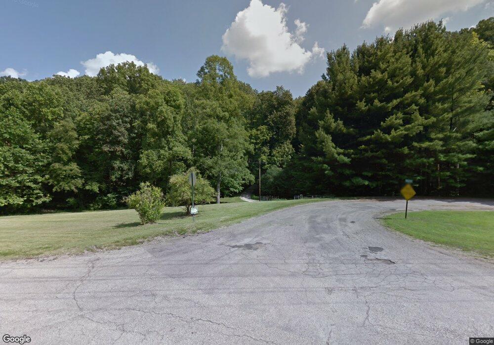
11133 Vaughn Rd Athens, OH 45701
Estimated Value: $584,000 - $762,000
2
Beds
4
Baths
3,192
Sq Ft
$207/Sq Ft
Est. Value
About This Home
This home is located at 11133 Vaughn Rd, Athens, OH 45701 and is currently estimated at $659,563, approximately $206 per square foot. 11133 Vaughn Rd is a home located in Athens County with nearby schools including West Elementary School, Athens Middle School, and Athens High School.
Ownership History
Date
Name
Owned For
Owner Type
Purchase Details
Closed on
Oct 19, 2020
Sold by
Mass Paul J and Fetterolf Mass Catherine
Bought by
Mass Paul Joseph and Paul J Mass Trust
Current Estimated Value
Purchase Details
Closed on
May 27, 2016
Sold by
Kroutel Ronald H and Kroutel Patrice P
Bought by
Mass Paul J and Fetterolf Mass Catherine J
Home Financials for this Owner
Home Financials are based on the most recent Mortgage that was taken out on this home.
Original Mortgage
$391,500
Outstanding Balance
$311,793
Interest Rate
3.59%
Mortgage Type
New Conventional
Estimated Equity
$347,770
Purchase Details
Closed on
Jun 1, 1987
Create a Home Valuation Report for This Property
The Home Valuation Report is an in-depth analysis detailing your home's value as well as a comparison with similar homes in the area
Home Values in the Area
Average Home Value in this Area
Purchase History
| Date | Buyer | Sale Price | Title Company |
|---|---|---|---|
| Mass Paul Joseph | -- | None Available | |
| Mass Paul J | $435,000 | Secure Title Agency | |
| -- | $66,000 | -- |
Source: Public Records
Mortgage History
| Date | Status | Borrower | Loan Amount |
|---|---|---|---|
| Open | Mass Paul J | $391,500 |
Source: Public Records
Tax History Compared to Growth
Tax History
| Year | Tax Paid | Tax Assessment Tax Assessment Total Assessment is a certain percentage of the fair market value that is determined by local assessors to be the total taxable value of land and additions on the property. | Land | Improvement |
|---|---|---|---|---|
| 2024 | $9,028 | $164,380 | $23,590 | $140,790 |
| 2023 | $8,559 | $164,380 | $23,590 | $140,790 |
| 2022 | $7,409 | $135,330 | $23,590 | $111,740 |
| 2021 | $7,440 | $135,330 | $23,590 | $111,740 |
| 2020 | $7,283 | $135,330 | $23,590 | $111,740 |
| 2019 | $7,135 | $131,730 | $21,130 | $110,600 |
| 2018 | $7,047 | $131,730 | $21,130 | $110,600 |
| 2017 | $12,232 | $131,730 | $21,130 | $110,600 |
| 2016 | $4,530 | $96,450 | $20,020 | $76,430 |
| 2015 | $9,175 | $96,450 | $20,020 | $76,430 |
| 2014 | $9,175 | $96,450 | $20,020 | $76,430 |
| 2013 | $8,768 | $94,620 | $16,370 | $78,250 |
Source: Public Records
Map
Nearby Homes
- 0 Strouds Run Unit 2433166
- 30 Joneswood Dr
- 44 Strathmore Blvd
- 1 Northwood Dr
- 46 Avon Place
- 37 Euclid Dr
- 51 Eden Place
- 12 Mc Guffey Ln
- 12 McGuffey Ln
- 0 Columbus Rd
- 14 Euclid Dr
- 39 Eden Place
- 31 Patton St
- 15 Townsend Place
- 273 E State St
- 64 Franklin Ave
- 193 N Lancaster St
- 11711 Peach Ridge Rd
- 7 Elizabeth Dr
- 31 1st St
- 11110 Vaughn Rd
- 11121 Vaughn Rd
- 11085 Northpoint Dr
- 11080 Northpoint Dr
- 11045 Northpoint Dr
- 11265 Strouds Run Rd
- 11248 Strouds Run Rd
- 11040 Northpoint Dr
- 11000 Northpoint Dr
- 43 Strouds Run Rd
- 39 Cable Ln
- 39 Cable Ln
- 10985 Northpoint Dr
- 10980 Northpoint Dr
- 10965 Northpoint Dr
- 41 Strouds Run Rd
- 39 Strouds Run Rd
- 10945 Northpoint Dr
- 10960 Northpoint Dr
- 11001 Shadow Creek Rd
