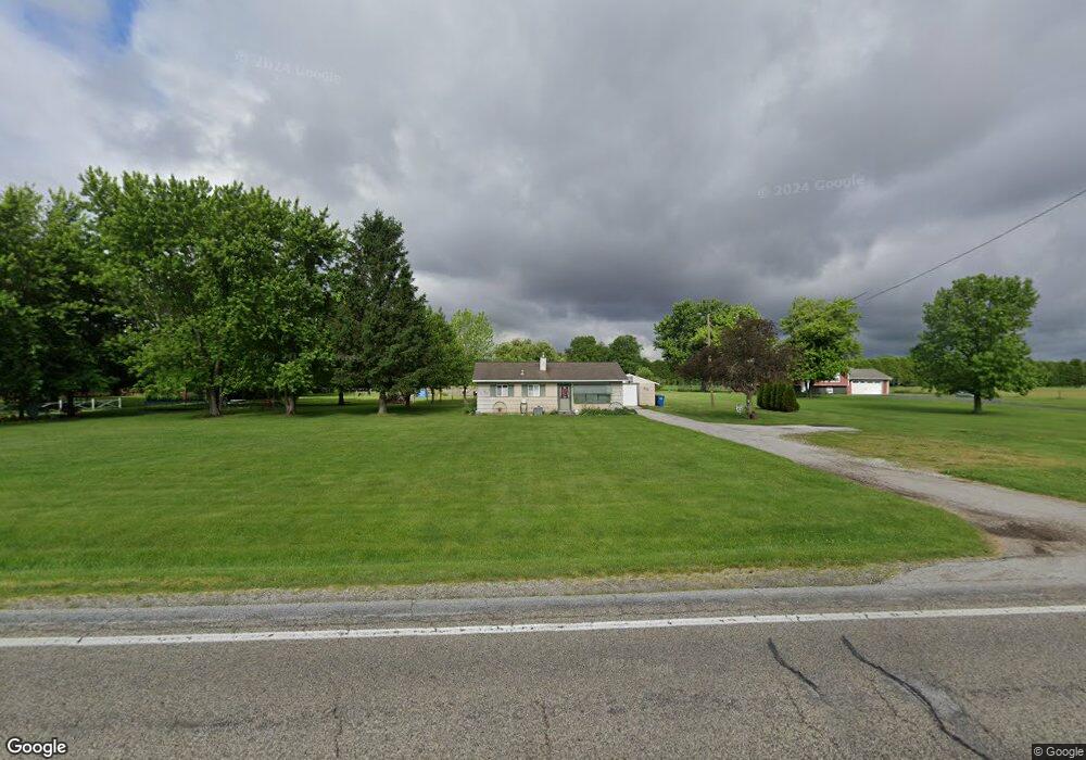
11134 S Us Highway 421 Wanatah, IN 46390
Estimated Value: $156,000 - $208,000
2
Beds
1
Bath
864
Sq Ft
$207/Sq Ft
Est. Value
About This Home
This home is located at 11134 S Us Highway 421, Wanatah, IN 46390 and is currently estimated at $178,750, approximately $206 per square foot. 11134 S Us Highway 421 is a home located in LaPorte County with nearby schools including South Central Elementary School and South Central Junior/Senior High School.
Ownership History
Date
Name
Owned For
Owner Type
Purchase Details
Closed on
Jul 13, 2017
Sold by
Poff Clifford G and Poff Karen M
Bought by
Jessen Natalie A
Current Estimated Value
Purchase Details
Closed on
May 8, 2017
Bought by
Poff Karen M
Home Financials for this Owner
Home Financials are based on the most recent Mortgage that was taken out on this home.
Original Mortgage
$88,000
Interest Rate
4.02%
Create a Home Valuation Report for This Property
The Home Valuation Report is an in-depth analysis detailing your home's value as well as a comparison with similar homes in the area
Home Values in the Area
Average Home Value in this Area
Purchase History
| Date | Buyer | Sale Price | Title Company |
|---|---|---|---|
| Jessen Natalie A | -- | None Available | |
| Poff Karen M | -- | -- |
Source: Public Records
Mortgage History
| Date | Status | Borrower | Loan Amount |
|---|---|---|---|
| Previous Owner | Poff Karen M | $88,000 | |
| Previous Owner | Poff Karen M | -- |
Source: Public Records
Tax History Compared to Growth
Tax History
| Year | Tax Paid | Tax Assessment Tax Assessment Total Assessment is a certain percentage of the fair market value that is determined by local assessors to be the total taxable value of land and additions on the property. | Land | Improvement |
|---|---|---|---|---|
| 2024 | $901 | $106,100 | $49,700 | $56,400 |
| 2023 | $822 | $104,700 | $49,700 | $55,000 |
| 2022 | $881 | $106,400 | $49,700 | $56,700 |
| 2021 | $832 | $103,200 | $49,700 | $53,500 |
| 2020 | $845 | $103,200 | $49,700 | $53,500 |
| 2019 | $764 | $95,400 | $42,900 | $52,500 |
| 2018 | $822 | $96,200 | $42,900 | $53,300 |
| 2017 | $877 | $97,100 | $42,900 | $54,200 |
| 2016 | $797 | $97,700 | $42,900 | $54,800 |
| 2014 | $661 | $90,700 | $45,400 | $45,300 |
Source: Public Records
Map
Nearby Homes
- 105 Earl St
- 627 Fieldcrest Cir
- 116 Sprunger Dr
- 305 N Ohio St
- 207 N Washington St
- 104 W Cross St
- 9552 S Bigelow Mill Rd
- 0 W Hwy 30 Unit GNR545374
- W 800 S V L
- 6465 W 1100 S
- 627 E 300 S
- 83 Kaper Ln
- 87 Kaper Ln
- 421 Amy Rose Ln
- 0 Porters Vale Blvd Unit GNR544918
- 0 St Road 2 Unit GNR544911
- 168 Jamestown Ave
- 0 Parcel B 325 E
- 0 Parcel A 325 E
- 307 N Pennsylvania St
- 11114 U S 421
- 11114 S Us Highway 421
- 11114 S Us Hwy
- 11176 S Us Highway 421
- 11212 U S 421
- 11212 S Us Highway 421
- 11141 S 1025 W
- 11333 S 1025 W
- 11271 S 1025 W
- 11025 S 1025 W
- 11172 S 1025 W
- 11102 S 1025 W
- 11212 S 1025 W
- 11152 S 1025 W
- 11301 S 1025 W
- 11232 S 1025 W
- 11122 S 1025 W
- 11252 S 1025 W
- 11042 S 1025 W
- 11052 S 1025 W