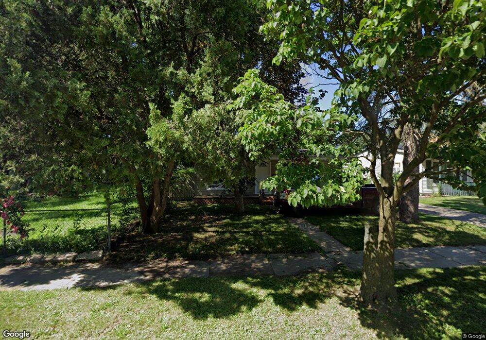
1114 Alvord Ave Flint, MI 48507
South Side NeighborhoodEstimated Value: $55,000 - $61,000
3
Beds
1
Bath
992
Sq Ft
$57/Sq Ft
Est. Value
About This Home
This home is located at 1114 Alvord Ave, Flint, MI 48507 and is currently estimated at $56,780, approximately $57 per square foot. 1114 Alvord Ave is a home located in Genesee County with nearby schools including Neithercut Elementary School, Flint Southwestern Classical Academy, and International Academy of Flint (K-12).
Ownership History
Date
Name
Owned For
Owner Type
Purchase Details
Closed on
Mar 22, 2006
Sold by
Foster Donnell and Foster Danielle M
Bought by
Wells Fargo Bank Na and Certificate Holders Of Asset Backed Pass
Current Estimated Value
Purchase Details
Closed on
Feb 11, 2004
Sold by
Foster Donnell D and Foster Danielle M
Bought by
Foster Danielle M and Foster Donnell
Home Financials for this Owner
Home Financials are based on the most recent Mortgage that was taken out on this home.
Original Mortgage
$56,500
Interest Rate
7.8%
Mortgage Type
New Conventional
Purchase Details
Closed on
Dec 22, 1999
Sold by
Stewart A Stewart J and Stewart Sarah A
Bought by
Foster Donnell D
Create a Home Valuation Report for This Property
The Home Valuation Report is an in-depth analysis detailing your home's value as well as a comparison with similar homes in the area
Home Values in the Area
Average Home Value in this Area
Purchase History
| Date | Buyer | Sale Price | Title Company |
|---|---|---|---|
| Wells Fargo Bank Na | $60,063 | None Available | |
| Foster Danielle M | -- | Title Michigan Agency Ltd | |
| Foster Donnell D | $49,900 | Guaranty Title Company | |
| Stewart John A | -- | Guaranty Title Company |
Source: Public Records
Mortgage History
| Date | Status | Borrower | Loan Amount |
|---|---|---|---|
| Previous Owner | Foster Danielle M | $56,500 |
Source: Public Records
Tax History
| Year | Tax Paid | Tax Assessment Tax Assessment Total Assessment is a certain percentage of the fair market value that is determined by local assessors to be the total taxable value of land and additions on the property. | Land | Improvement |
|---|---|---|---|---|
| 2025 | $1,247 | $21,600 | $0 | $0 |
| 2024 | $1,153 | $22,300 | $0 | $0 |
| 2023 | $1,125 | $18,100 | $0 | $0 |
| 2022 | $0 | $15,200 | $0 | $0 |
| 2021 | $1,141 | $13,700 | $0 | $0 |
| 2020 | $1,048 | $13,700 | $0 | $0 |
| 2019 | $1,022 | $14,000 | $0 | $0 |
| 2018 | $1,018 | $12,100 | $0 | $0 |
| 2017 | $991 | $0 | $0 | $0 |
| 2016 | $984 | $0 | $0 | $0 |
| 2015 | -- | $0 | $0 | $0 |
| 2014 | -- | $0 | $0 | $0 |
| 2012 | -- | $14,800 | $0 | $0 |
Source: Public Records
Map
Nearby Homes
- 1015 Alvord Ave
- 1234 Huron St
- 1310 Huron St
- 1028 Campbell St
- 1210 Pinehurst Ave
- 1318 Ingleside Ave
- 1122 Markham St
- 1130 W Atherton Rd
- 4418 Brunswick Ave
- 3902 Brunswick Ave
- 845 Alvord Ave
- 1410 Berrywood Ln
- 1225 Waldman Ave
- 912 Markham St
- 829 Clinton St
- 3805 Brunswick Ave
- 805 Alvord Ave
- 806 Alvord Ave
- 822 Campbell St
- 846 W Hemphill Rd
- 1106 Alvord Ave
- 1102 Alvord Ave
- 4117 Tuxedo Ave
- 4125 Tuxedo Ave
- 1113 Crawford St
- 1044 Alvord Ave
- 1117 Crawford St Unit Bldg-Unit
- 1117 Crawford St
- 1103 Crawford St
- 4113 Tuxedo Ave
- 1117 Alvord Ave
- 1109 Alvord Ave
- 1039 Crawford St
- 1101 Alvord Ave
- 4101 Tuxedo Ave
- 1041 Alvord Ave
- 1125 Alvord Ave
- 1034 Alvord Ave
- 1035 Crawford St
- 1039 Alvord Ave
Your Personal Tour Guide
Ask me questions while you tour the home.