1114 E New Mellville Rd Springfield, MO 65803
Estimated Value: $356,000 - $396,000
About This Home
This home is located at 1114 E New Mellville Rd, Springfield, MO 65803 and is currently estimated at $381,388, approximately $207 per square foot. 1114 E New Mellville Rd is a home located in Greene County with nearby schools including Willard East Elementary School and Willard Intermediate School North.
Ownership History
We collect this data history from publicly available records. To have your information removed, we recommend requesting removal directly through your county’s website.
Purchase Details
Purchase Details
Home Values in the Area
Average Home Value in this Area
Purchase History
We collect this data history from publicly available records. To have your information removed, we recommend requesting removal directly through your county’s website.
| Date | Buyer | Sale Price | Title Company |
|---|---|---|---|
| -- | None Listed On Document | ||
| -- | None Available |
Tax History
We collect this data history from publicly available records. To have your information removed, we recommend requesting removal directly through your county’s website.
| Year | Tax Paid | Tax Assessment Tax Assessment Total Assessment is a certain percentage of the fair market value that is determined by local assessors to be the total taxable value of land and additions on the property. | Land | Improvement |
|---|---|---|---|---|
| 2025 | $2,769 | $50,550 | $6,370 | $44,180 |
| 2024 | $2,769 | $44,710 | $3,820 | $40,890 |
| 2023 | $2,760 | $44,710 | $3,820 | $40,890 |
| 2022 | $2,187 | $36,010 | $3,820 | $32,190 |
| 2021 | $2,185 | $36,010 | $3,820 | $32,190 |
| 2020 | $2,093 | $33,900 | $3,820 | $30,080 |
| 2019 | $2,082 | $33,900 | $3,820 | $30,080 |
| 2018 | $1,981 | $31,770 | $3,820 | $27,950 |
| 2017 | $1,966 | $31,770 | $3,820 | $27,950 |
| 2016 | $1,961 | $31,770 | $3,820 | $27,950 |
| 2015 | $1,943 | $31,770 | $3,820 | $27,950 |
| 2014 | $1,966 | $31,770 | $3,820 | $27,950 |
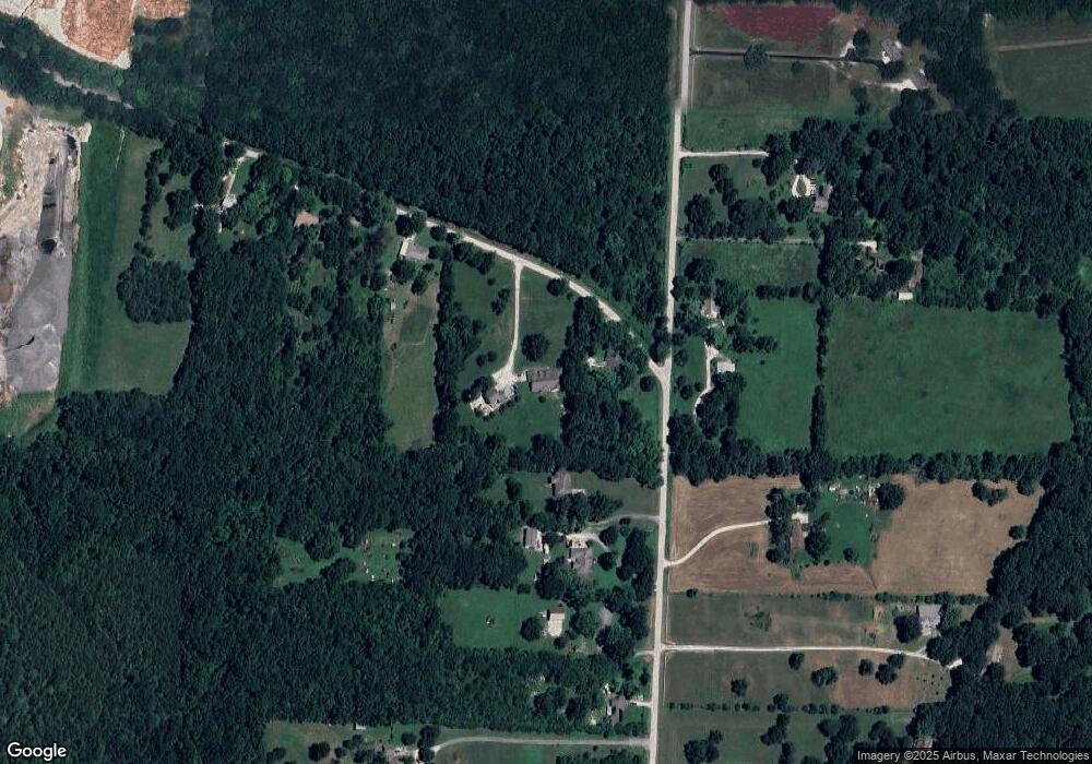
Map
- 723 Becky St
- 6074 W Farm Road 94
- 509 E Logan St
- 465 E War Horse Ln
- 490 Lennox St
- 486 Stone Creek Rd
- 484 Stone Creek Rd
- 771 S Bent Tree Ave
- 481 Stone Creek Rd
- 461 Baird Ct
- 5589 W Farm Road 104
- 477 Stone Creek Rd
- 460 Baird Ct
- 476 Stone Creek Rd
- 479 S Summit Dr
- 475 Stone Creek Rd
- 462 Baird Ct
- 473 Stone Creek Rd
- 471 Stone Creek Rd
- 466 Baird Ct
- 1112 E New Mellville Rd
- 1118 E New Mellville Rd
- 903 Ross Rd
- 1110 E New Mellville Rd
- 816 Ross Rd
- 905 Ross Rd
- 1108 E New Mellville Rd
- 909 Ross Rd
- 1104 E New Mellville Rd
- 902 Ross Rd
- 808 Ross Rd
- 812 Ross Rd
- 911 Ross Rd
- 915 Ross Rd
- 802 Ross Rd
- 904 Ross Rd
- 974 Ross Rd
- 1003 Ross Rd
- 702 Ross Rd
- 4745 N Farm Road 117
Ask me questions while you tour the home.