1114 Tree Line Ln Waukon, IA 52172
Estimated Value: $353,000 - $452,459
5
Beds
2
Baths
2,240
Sq Ft
$178/Sq Ft
Est. Value
About This Home
This home is located at 1114 Tree Line Ln, Waukon, IA 52172 and is currently estimated at $398,486, approximately $177 per square foot. 1114 Tree Line Ln is a home located in Allamakee County with nearby schools including West Campus Elementary School, East Campus Elementary School, and Waukon Middle School.
Ownership History
Date
Name
Owned For
Owner Type
Purchase Details
Closed on
Jun 10, 2021
Sold by
Regan Dennis W and Regan Elizabeth A
Bought by
Regan Dennis W and Regan Elizabeth A
Current Estimated Value
Purchase Details
Closed on
Dec 2, 2006
Sold by
Hochstetler Elizabeth
Bought by
Regan Dennis J and Regan Deborah A
Create a Home Valuation Report for This Property
The Home Valuation Report is an in-depth analysis detailing your home's value as well as a comparison with similar homes in the area
Purchase History
| Date | Buyer | Sale Price | Title Company |
|---|---|---|---|
| Regan Dennis W | -- | None Available | |
| Regan Dennis J | $131,500 | None Available |
Source: Public Records
Tax History
| Year | Tax Paid | Tax Assessment Tax Assessment Total Assessment is a certain percentage of the fair market value that is determined by local assessors to be the total taxable value of land and additions on the property. | Land | Improvement |
|---|---|---|---|---|
| 2025 | $3,232 | $307,800 | $32,700 | $275,100 |
| 2024 | $3,232 | $279,600 | $24,500 | $255,100 |
| 2023 | $3,072 | $279,600 | $24,500 | $255,100 |
| 2022 | $2,512 | $206,000 | $20,500 | $185,500 |
| 2021 | $2,588 | $208,200 | $22,700 | $185,500 |
| 2020 | $2,588 | $203,300 | $22,700 | $180,600 |
| 2019 | $2,468 | $203,100 | $0 | $0 |
| 2018 | $2,418 | $203,100 | $0 | $0 |
| 2017 | $2,418 | $188,900 | $0 | $0 |
| 2016 | $2,162 | $188,900 | $0 | $0 |
| 2015 | $2,162 | $186,800 | $0 | $0 |
| 2014 | $2,106 | $186,800 | $0 | $0 |
Source: Public Records
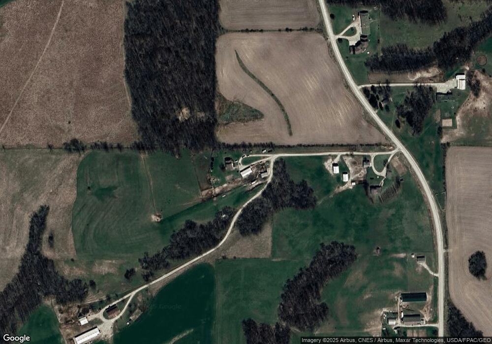
Map
Nearby Homes
- TBD Deer Rd
- 417 Old Sixteen Rd
- 264 Forest Mills Rd
- 530 Spike Buck Ln
- 305 Truman St
- Tbd
- 0000 Greenbrier Dr
- 107 Countryside Rd
- 303 W 3rd St
- 104 6th Ave SW
- 404 E Maple St
- 0 SW 11th Ave Unit 20222752
- 511 2nd St SW
- 505 2nd St SW
- 306 SW 1st St
- TBD Highway 18
- 310 1st Ave NE
- Tbd
- 303 5th St SW
- 0 Parcel Id#1031351007 Unit 20211899
Your Personal Tour Guide
Ask me questions while you tour the home.