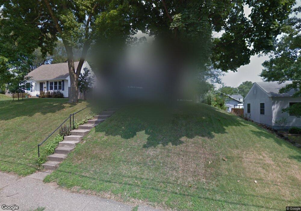
1114 W Lombard St Davenport, IA 52804
Near North Side NeighborhoodEstimated Value: $199,852 - $224,000
4
Beds
3
Baths
2,280
Sq Ft
$94/Sq Ft
Est. Value
About This Home
This home is located at 1114 W Lombard St, Davenport, IA 52804 and is currently estimated at $214,213, approximately $93 per square foot. 1114 W Lombard St is a home located in Scott County with nearby schools including Tygart Creek Elementary School, Adams Elementary School, and Christian County Day Treatment Center Alt.
Ownership History
Date
Name
Owned For
Owner Type
Purchase Details
Closed on
Apr 7, 2006
Sold by
Houck Mary Jo Neerland and Houck Tod Alan
Bought by
Houck Tod Alan and Houck Mary Jo Neerland
Current Estimated Value
Purchase Details
Closed on
Jun 15, 2005
Sold by
Neerland Mary Josephine and Neerland Mary Jo
Bought by
Neerland Mary J and Simmon Tod A
Home Financials for this Owner
Home Financials are based on the most recent Mortgage that was taken out on this home.
Original Mortgage
$99,970
Interest Rate
5.82%
Mortgage Type
New Conventional
Create a Home Valuation Report for This Property
The Home Valuation Report is an in-depth analysis detailing your home's value as well as a comparison with similar homes in the area
Home Values in the Area
Average Home Value in this Area
Purchase History
| Date | Buyer | Sale Price | Title Company |
|---|---|---|---|
| Houck Tod Alan | -- | None Available | |
| Neerland Mary J | -- | None Available |
Source: Public Records
Mortgage History
| Date | Status | Borrower | Loan Amount |
|---|---|---|---|
| Closed | Neerland Mary J | $99,970 |
Source: Public Records
Tax History Compared to Growth
Tax History
| Year | Tax Paid | Tax Assessment Tax Assessment Total Assessment is a certain percentage of the fair market value that is determined by local assessors to be the total taxable value of land and additions on the property. | Land | Improvement |
|---|---|---|---|---|
| 2025 | $2,986 | $185,950 | $33,260 | $152,690 |
| 2024 | $2,910 | $177,280 | $33,260 | $144,020 |
| 2023 | $2,886 | $177,280 | $33,260 | $144,020 |
| 2022 | $2,896 | $143,960 | $30,490 | $113,470 |
| 2021 | $2,896 | $143,960 | $30,490 | $113,470 |
| 2020 | $2,788 | $137,170 | $30,490 | $106,680 |
| 2019 | $2,668 | $127,470 | $30,490 | $96,980 |
| 2018 | $2,608 | $127,470 | $30,490 | $96,980 |
| 2017 | $709 | $127,470 | $30,490 | $96,980 |
| 2016 | $2,600 | $127,470 | $0 | $0 |
| 2015 | $2,600 | $131,510 | $0 | $0 |
| 2014 | $2,728 | $131,510 | $0 | $0 |
| 2013 | $2,676 | $0 | $0 | $0 |
| 2012 | -- | $133,630 | $32,460 | $101,170 |
Source: Public Records
Map
Nearby Homes
- 2038 N Myrtle St
- 922 W Lombard St
- 2325 N Marquette St
- 2230 Warren St
- 2026 N Marquette St
- 2133 Warren St
- 1921 Lillie Ave
- 1925 Vine St
- 816 Spalding Blvd
- 1203 W Locust St
- 822 W Rusholme St
- 734 W 17th St
- 2015 Washington St
- 2218 Western Ave
- 1517 W Lombard St
- 2211 Western Ave
- 2221 Western Ave
- 1118 W 15th St
- 1525 W High St
- 1514 N Marquette St
- 1120 W Lombard St
- 1108 W Lombard St
- 1126 W Lombard St
- 1032 Spalding Blvd
- 1115 Berg Place
- 1109 Berg Place
- 1130 W Lombard St
- 1119 Berg Place
- 1105 Berg Place
- 2134 N Myrtle St
- 1125 Berg Place
- 2137 Lillie Ave
- 1041 Berg Place
- 2225 Lillie Ave
- 2131 Lillie Ave
- 1024 Spalding Blvd
- 2128 N Myrtle St
- 1026 W Lombard St
- 1027 W Lombard St Unit 1025
- 1027 W Lombard St