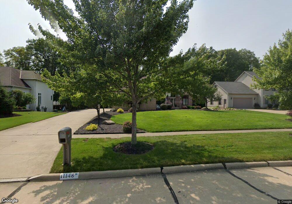
11148 Hempstead Ln North Royalton, OH 44133
Estimated Value: $500,921 - $593,000
4
Beds
3
Baths
2,931
Sq Ft
$180/Sq Ft
Est. Value
About This Home
This home is located at 11148 Hempstead Ln, North Royalton, OH 44133 and is currently estimated at $528,980, approximately $180 per square foot. 11148 Hempstead Ln is a home located in Cuyahoga County with nearby schools including North Royalton Middle School, North Royalton High School, and Saint Albert the Great Roman Catholic School.
Ownership History
Date
Name
Owned For
Owner Type
Purchase Details
Closed on
Jan 6, 1995
Sold by
Colony Builders Corp
Bought by
Morehouse George J and Morehouse Michelle M
Current Estimated Value
Home Financials for this Owner
Home Financials are based on the most recent Mortgage that was taken out on this home.
Original Mortgage
$199,500
Interest Rate
9.27%
Mortgage Type
New Conventional
Purchase Details
Closed on
Jan 1, 1994
Bought by
Colony Bldrs Inc
Create a Home Valuation Report for This Property
The Home Valuation Report is an in-depth analysis detailing your home's value as well as a comparison with similar homes in the area
Home Values in the Area
Average Home Value in this Area
Purchase History
| Date | Buyer | Sale Price | Title Company |
|---|---|---|---|
| Morehouse George J | $249,500 | -- | |
| Colony Bldrs Inc | -- | -- |
Source: Public Records
Mortgage History
| Date | Status | Borrower | Loan Amount |
|---|---|---|---|
| Closed | Morehouse George J | $199,500 |
Source: Public Records
Tax History Compared to Growth
Tax History
| Year | Tax Paid | Tax Assessment Tax Assessment Total Assessment is a certain percentage of the fair market value that is determined by local assessors to be the total taxable value of land and additions on the property. | Land | Improvement |
|---|---|---|---|---|
| 2024 | $9,157 | $157,640 | $30,450 | $127,190 |
| 2023 | $7,535 | $118,970 | $28,140 | $90,830 |
| 2022 | $7,484 | $118,970 | $28,140 | $90,830 |
| 2021 | $7,562 | $118,970 | $28,140 | $90,830 |
| 2020 | $7,578 | $113,300 | $26,810 | $86,490 |
| 2019 | $7,356 | $323,700 | $76,600 | $247,100 |
| 2018 | $7,028 | $113,300 | $26,810 | $86,490 |
| 2017 | $7,068 | $102,870 | $23,000 | $79,870 |
| 2016 | $6,623 | $102,870 | $23,000 | $79,870 |
| 2015 | $6,069 | $102,870 | $23,000 | $79,870 |
| 2014 | $6,069 | $93,530 | $20,900 | $72,630 |
Source: Public Records
Map
Nearby Homes
- 10620 Ridge Rd
- 9035 Wallings Rd
- 11550 York Rd
- 11658 York Rd
- 12701 Gordon St
- 5980 Wallings Rd
- 7595 Margaret Dr
- 7575 Margaret Dr
- 7564 Margaret Dr
- 7574 Margaret Dr
- 7600 Margaret Dr
- 7535 Margaret Dr
- 7585 Margaret Dr
- 7555 Margaret Dr
- 7545 Margaret Dr
- 7554 Margaret Dr
- S/L Margaret Dr
- 9510 Cove Dr Unit C12
- 9611 Sunrise Blvd Unit K2
- 9630 Cove Dr Unit A-14
- 11158 Hempstead Ln
- 11138 Hempstead Ln
- 11168 Hempstead Ln
- 11128 Hempstead Ln
- 11149 Hempstead Ln
- 11159 Hempstead Ln
- 11139 Hempstead Ln
- 11118 Hempstead Ln
- 11178 Hempstead Ln
- 11169 Hempstead Ln
- 11129 Hempstead Ln
- 11119 Hempstead Ln
- 11179 Hempstead Ln
- 11198 Bristol Ct
- 8096 Washington Ave
- 11188 Hempstead Ln
- 11108 Hempstead Ln
- 8106 Washington Ave
- 7653 Wilton Ln
- 11206 Bristol Ct