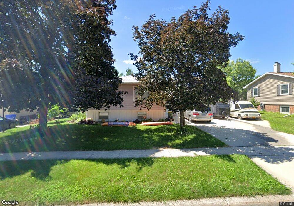
1115 9th St NW Waverly, IA 50677
Estimated Value: $226,752 - $242,000
3
Beds
2
Baths
1,215
Sq Ft
$194/Sq Ft
Est. Value
About This Home
This home is located at 1115 9th St NW, Waverly, IA 50677 and is currently estimated at $235,188, approximately $193 per square foot. 1115 9th St NW is a home located in Bremer County with nearby schools including Waverly-Shell Rock Senior High School and St. Paul's Lutheran School.
Ownership History
Date
Name
Owned For
Owner Type
Purchase Details
Closed on
Jun 11, 2008
Sold by
Dix Thomas J and Dix Belinda K
Bought by
Rutledge Pamela J
Current Estimated Value
Home Financials for this Owner
Home Financials are based on the most recent Mortgage that was taken out on this home.
Original Mortgage
$124,200
Outstanding Balance
$79,861
Interest Rate
6.09%
Mortgage Type
Future Advance Clause Open End Mortgage
Estimated Equity
$155,327
Create a Home Valuation Report for This Property
The Home Valuation Report is an in-depth analysis detailing your home's value as well as a comparison with similar homes in the area
Home Values in the Area
Average Home Value in this Area
Purchase History
| Date | Buyer | Sale Price | Title Company |
|---|---|---|---|
| Rutledge Pamela J | $138,000 | None Available |
Source: Public Records
Mortgage History
| Date | Status | Borrower | Loan Amount |
|---|---|---|---|
| Open | Rutledge Pamela J | $124,200 |
Source: Public Records
Tax History Compared to Growth
Tax History
| Year | Tax Paid | Tax Assessment Tax Assessment Total Assessment is a certain percentage of the fair market value that is determined by local assessors to be the total taxable value of land and additions on the property. | Land | Improvement |
|---|---|---|---|---|
| 2025 | $3,362 | $225,610 | $34,560 | $191,050 |
| 2024 | $3,362 | $211,970 | $34,560 | $177,410 |
| 2023 | $3,266 | $211,220 | $28,800 | $182,420 |
| 2022 | $3,152 | $176,990 | $28,800 | $148,190 |
| 2021 | $3,342 | $176,990 | $28,800 | $148,190 |
| 2020 | $3,342 | $175,190 | $24,960 | $150,230 |
| 2019 | $2,982 | $166,480 | $0 | $0 |
| 2018 | $2,916 | $166,480 | $0 | $0 |
| 2017 | $3,176 | $167,920 | $0 | $0 |
| 2016 | $3,176 | $167,920 | $0 | $0 |
| 2015 | $3,176 | $156,930 | $0 | $0 |
| 2014 | $3,026 | $156,930 | $0 | $0 |
Source: Public Records
Map
Nearby Homes
- 607 10th Ave NW
- 1109 5th St NW
- 910 6th St NW
- 207 Deerfield Cir Unit Whitetail Bluff Lot
- 1111 Fawn Hollow Unit Whitetail Bluff Lot
- 1107 Fawn Hollow Unit Whitetail Bluff Lot
- 128 Red Fox Trail
- 102 9th Ave NW
- 1608 Hillside Ave
- 415 5th St NW
- 204 3rd Ave NW
- 0000 17th St NW
- 212 2nd Ave NW
- 117 6th Ave NW
- 1825 4th Ave NW
- 602 1st Ave SW
- 109 16th St SW
- 109 Sunset St SW
- 315 3rd Ave NE
- 323 3rd Ave NE
- 1113 9th St NW
- 1102 Kenyon Dr
- 1104 Kenyon Dr
- 1114 9th St NW
- 1111 9th St NW
- 1116 9th St NW
- 1012 Kenyon Dr
- 808 11th Ave NW
- 902 12th Ave NW
- 1109 9th St NW
- 809 11th Ave NW
- 812 12th Ave NW
- 807 12th Ave NW
- 904 12th Ave NW
- 810 12th Ave NW
- 807 11th Ave NW
- 1002 Gateway Blvd
- 1001 12th Ave NW
- 806 11th Ave NW
- 1107 9th St NW