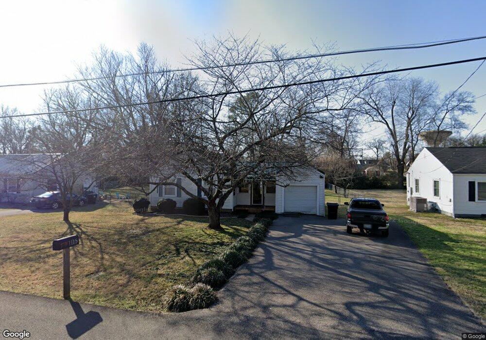
1115 Allen Ave Murfreesboro, TN 37129
Estimated Value: $223,826 - $250,000
--
Bed
1
Bath
792
Sq Ft
$304/Sq Ft
Est. Value
About This Home
This home is located at 1115 Allen Ave, Murfreesboro, TN 37129 and is currently estimated at $240,457, approximately $303 per square foot. 1115 Allen Ave is a home located in Rutherford County with nearby schools including Mitchell-Neilson Elementary, Siegel Middle School, and Siegel High School.
Ownership History
Date
Name
Owned For
Owner Type
Purchase Details
Closed on
Apr 4, 2016
Sold by
Morton Eddie Glen Barbara P
Bought by
Dinardo Mark
Current Estimated Value
Home Financials for this Owner
Home Financials are based on the most recent Mortgage that was taken out on this home.
Original Mortgage
$100,360
Outstanding Balance
$62,033
Interest Rate
3.64%
Mortgage Type
New Conventional
Estimated Equity
$178,424
Purchase Details
Closed on
Dec 20, 2006
Sold by
Miller Grissom Patricia
Bought by
Glen Morton Eddie
Home Financials for this Owner
Home Financials are based on the most recent Mortgage that was taken out on this home.
Original Mortgage
$105,000
Interest Rate
6.1%
Purchase Details
Closed on
Nov 17, 2000
Sold by
Miller Robert L
Bought by
Grissom Patricia M
Create a Home Valuation Report for This Property
The Home Valuation Report is an in-depth analysis detailing your home's value as well as a comparison with similar homes in the area
Home Values in the Area
Average Home Value in this Area
Purchase History
| Date | Buyer | Sale Price | Title Company |
|---|---|---|---|
| Dinardo Mark | $104,000 | -- | |
| Glen Morton Eddie | $10,500 | -- | |
| Grissom Patricia M | -- | -- |
Source: Public Records
Mortgage History
| Date | Status | Borrower | Loan Amount |
|---|---|---|---|
| Open | Dinardo Mark | $100,360 | |
| Previous Owner | Grissom Patricia M | $105,000 |
Source: Public Records
Tax History Compared to Growth
Tax History
| Year | Tax Paid | Tax Assessment Tax Assessment Total Assessment is a certain percentage of the fair market value that is determined by local assessors to be the total taxable value of land and additions on the property. | Land | Improvement |
|---|---|---|---|---|
| 2025 | $1,607 | $56,800 | $13,750 | $43,050 |
| 2024 | $1,607 | $56,800 | $13,750 | $43,050 |
| 2023 | $1,066 | $56,800 | $13,750 | $43,050 |
| 2022 | $918 | $56,800 | $13,750 | $43,050 |
| 2021 | $806 | $36,300 | $8,750 | $27,550 |
| 2020 | $806 | $36,300 | $8,750 | $27,550 |
| 2019 | $806 | $36,300 | $8,750 | $27,550 |
| 2018 | $1,107 | $36,300 | $0 | $0 |
| 2017 | $847 | $21,800 | $0 | $0 |
| 2016 | $847 | $21,800 | $0 | $0 |
| 2015 | $847 | $21,800 | $0 | $0 |
| 2014 | $542 | $21,800 | $0 | $0 |
| 2013 | -- | $20,925 | $0 | $0 |
Source: Public Records
Map
Nearby Homes
- 1107 Owen Layne Dr
- 1116 Owen Layne Dr
- 608 Lynn St
- 1007 Grantland Ave
- 1022 Poplar Ave
- 1006 Jones Blvd
- 1019 N Maple St Unit 2D
- 1120 White Blvd
- 906 N Maple St
- 904 N Maple St
- 301 Kingwood Dr
- 814 N Church St
- 717 N Church St
- 1620 Idlewood Dr
- 1006 W Clark Blvd
- 1610 Jones Blvd
- 513 N Maple St
- 0 Lebanon Pike Unit RTC2818012
- 804 N Academy St
- 623 Spencer Dr
- 1119 Allen Ave
- 1111 Allen Ave
- 1123 Allen Ave
- 1107 Allen Ave
- 1104 Grantland Ave
- 1102 Grantland Ave
- 415 Knox St
- 1106 Grantland Ave
- 1100 Grantland Ave
- 1103 Allen Ave
- 1127 Allen Ave
- 1108 Grantland Ave
- 418 Lynn St
- 411 Knox St
- 1014 Grantland Ave
- 1110 Grantland Ave
- 414 Knox St
- 414 Lynn St
- 1023 Allen Ave
- 503 W Mcknight Dr