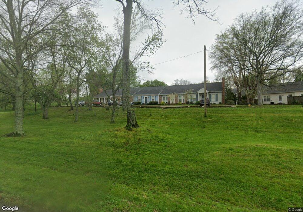
1115 Carnton Ln Unit A4 Franklin, TN 37064
Carnton NeighborhoodEstimated Value: $332,000 - $422,000
--
Bed
2
Baths
1,120
Sq Ft
$320/Sq Ft
Est. Value
About This Home
This home is located at 1115 Carnton Ln Unit A4, Franklin, TN 37064 and is currently estimated at $357,973, approximately $319 per square foot. 1115 Carnton Ln Unit A4 is a home located in Williamson County with nearby schools including Franklin Elementary School, Freedom Intermediate School, and Freedom Middle School.
Ownership History
Date
Name
Owned For
Owner Type
Purchase Details
Closed on
Jun 23, 2006
Sold by
Andrews Adam and Andrews Kori J
Bought by
Tate Melinda G
Current Estimated Value
Home Financials for this Owner
Home Financials are based on the most recent Mortgage that was taken out on this home.
Original Mortgage
$142,800
Outstanding Balance
$83,578
Interest Rate
6.49%
Mortgage Type
Purchase Money Mortgage
Estimated Equity
$274,395
Purchase Details
Closed on
Oct 8, 2004
Sold by
Finchum Bill Eugene
Bought by
Andrews Adam and Andrews Kori J
Home Financials for this Owner
Home Financials are based on the most recent Mortgage that was taken out on this home.
Original Mortgage
$111,920
Interest Rate
6.65%
Mortgage Type
Purchase Money Mortgage
Create a Home Valuation Report for This Property
The Home Valuation Report is an in-depth analysis detailing your home's value as well as a comparison with similar homes in the area
Home Values in the Area
Average Home Value in this Area
Purchase History
| Date | Buyer | Sale Price | Title Company |
|---|---|---|---|
| Tate Melinda G | $168,000 | Land Title South Inc | |
| Andrews Adam | $139,900 | Mooreland Title Company Llc |
Source: Public Records
Mortgage History
| Date | Status | Borrower | Loan Amount |
|---|---|---|---|
| Open | Tate Melinda G | $142,800 | |
| Previous Owner | Andrews Adam | $111,920 | |
| Closed | Andrews Adam | $27,980 |
Source: Public Records
Tax History Compared to Growth
Tax History
| Year | Tax Paid | Tax Assessment Tax Assessment Total Assessment is a certain percentage of the fair market value that is determined by local assessors to be the total taxable value of land and additions on the property. | Land | Improvement |
|---|---|---|---|---|
| 2025 | $1,759 | $82,600 | $35,000 | $47,600 |
| 2024 | $1,759 | $62,125 | $21,250 | $40,875 |
| 2023 | $1,691 | $62,125 | $21,250 | $40,875 |
| 2022 | $1,691 | $62,125 | $21,250 | $40,875 |
| 2021 | $1,691 | $62,125 | $21,250 | $40,875 |
| 2020 | $1,226 | $37,975 | $11,250 | $26,725 |
| 2019 | $1,226 | $37,975 | $11,250 | $26,725 |
| 2018 | $1,199 | $37,975 | $11,250 | $26,725 |
| 2017 | $1,180 | $37,975 | $11,250 | $26,725 |
| 2016 | $0 | $37,975 | $11,250 | $26,725 |
| 2015 | -- | $37,625 | $11,250 | $26,375 |
| 2014 | -- | $37,625 | $11,250 | $26,375 |
Source: Public Records
Map
Nearby Homes
- 308 Meadowlawn Dr
- 215 Lewisburg Ave
- 1405 Adams St
- 301 Mercury Dr
- 1324 Adams St
- 314 James Ave
- 1408 Adams St
- 1120 Adams St
- 120 Cleburne St
- 453 Herringbone Ct
- 437 Herringbone Ct
- 425 Herringbone Ct
- 514 Herringbone Ct
- 520 Herringbone Ct
- 468 Herringbone Ct
- 409 Herringbone Ct
- 401 Herringbone Ct
- 456 Herringbone Ct
- 450 Herringbone Ct
- 402 Herringbone Ct
- 1115 Carnton Ln Unit B4
- 1115 Carnton Ln Unit B3
- 1115 Carnton Ln Unit B2
- 1115 Carnton Ln Unit B1
- 1115 Carnton Ln Unit A1
- 1115 Carnton Ln Unit A2
- 1115 Carnton Ln Unit A3
- 1115 Carnton Ln Unit A5
- 1115 Carnton Ln
- 1119 Carnton Ln
- 1123 Carnton Ln
- 1127 Carnton Ln
- 1128 Carnton Ln
- 1131 Carnton Ln
- 1130 Carnton Ln
- 1132 Carnton Ln
- 1135 Carnton Ln
- 1136 Carnton Ln
- 1139 Carnton Ln
- 1140 Carnton Ln