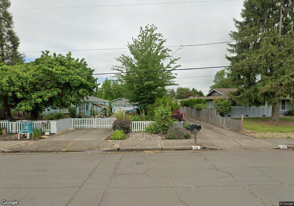
1115 Clinton Dr Eugene, OR 97401
Cal Young NeighborhoodEstimated Value: $415,000 - $442,000
2
Beds
1
Bath
970
Sq Ft
$438/Sq Ft
Est. Value
About This Home
This home is located at 1115 Clinton Dr, Eugene, OR 97401 and is currently estimated at $424,838, approximately $437 per square foot. 1115 Clinton Dr is a home located in Lane County with nearby schools including Willagillespie Elementary School, Cal Young Middle School, and Sheldon High School.
Ownership History
Date
Name
Owned For
Owner Type
Purchase Details
Closed on
Aug 29, 2013
Sold by
Shamblin Scott D
Bought by
Padgett Carol S
Current Estimated Value
Home Financials for this Owner
Home Financials are based on the most recent Mortgage that was taken out on this home.
Original Mortgage
$146,400
Outstanding Balance
$108,276
Interest Rate
4.33%
Mortgage Type
New Conventional
Estimated Equity
$316,562
Purchase Details
Closed on
Jun 18, 2009
Sold by
Mahoney Christine Marie
Bought by
Shamblin Scott D
Home Financials for this Owner
Home Financials are based on the most recent Mortgage that was taken out on this home.
Original Mortgage
$176,739
Interest Rate
4.82%
Mortgage Type
FHA
Create a Home Valuation Report for This Property
The Home Valuation Report is an in-depth analysis detailing your home's value as well as a comparison with similar homes in the area
Home Values in the Area
Average Home Value in this Area
Purchase History
| Date | Buyer | Sale Price | Title Company |
|---|---|---|---|
| Padgett Carol S | $183,000 | Western Title & Escrow Co | |
| Shamblin Scott D | $180,000 | First American Title |
Source: Public Records
Mortgage History
| Date | Status | Borrower | Loan Amount |
|---|---|---|---|
| Open | Padgett Carol S | $146,400 | |
| Previous Owner | Shamblin Scott D | $176,739 |
Source: Public Records
Tax History Compared to Growth
Tax History
| Year | Tax Paid | Tax Assessment Tax Assessment Total Assessment is a certain percentage of the fair market value that is determined by local assessors to be the total taxable value of land and additions on the property. | Land | Improvement |
|---|---|---|---|---|
| 2025 | $3,703 | $190,068 | -- | -- |
| 2024 | $3,657 | $184,533 | -- | -- |
| 2023 | $3,657 | $179,159 | $0 | $0 |
| 2022 | $3,426 | $173,941 | $0 | $0 |
| 2021 | $3,218 | $168,875 | $0 | $0 |
| 2020 | $3,229 | $163,957 | $0 | $0 |
| 2019 | $3,119 | $159,182 | $0 | $0 |
| 2018 | $2,936 | $150,045 | $0 | $0 |
| 2017 | $2,804 | $150,045 | $0 | $0 |
| 2016 | $2,713 | $145,675 | $0 | $0 |
| 2015 | $2,595 | $141,432 | $0 | $0 |
| 2014 | $2,514 | $137,313 | $0 | $0 |
Source: Public Records
Map
Nearby Homes
- 0 Butte Ln
- 1170 Cal Young Rd
- 0 Crenshaw Rd Unit 233397127
- 0 Crenshaw Rd Unit 740506614
- 0 Crenshaw Rd Unit 645385106
- 1254 Rio Glen Dr
- 1059 Cal Young Rd
- 1282 Evening Star Ln
- 1230 Evening Star Ln
- 410 Spyglass Dr
- 1328 Spyglass Dr
- 516 Spyglass Dr
- 660 Elwood Dr
- 1261 Spyglass Dr
- 1500 Norkenzie Rd Unit 43
- 1641 Chasa St
- 1585 Farm House Dr
- 1750 Tabor St
- 1861 Happy Ln
- 1332 Jeppesen Ave
- 1111 Clinton Dr
- 1135 Clinton Dr
- 1143 Clinton Dr
- 1127 Clinton Dr
- 1105 Clinton Dr
- 1147 Clinton Dr
- 1103 Clinton Dr
- 1160 Lorella Ave
- 1166 Lorella Ave
- 1155 Clinton Dr
- 1112 Clinton Dr
- 1167 Clinton Dr
- 1154 Clinton Dr
- 1151 Clinton Dr
- 1168 Lorella Ave
- 1110 Clinton Dr
- 1170 Lorella Ave
- 1162 Clinton Dr
- 1150 Naomi Ct
- 1106 Clinton Dr