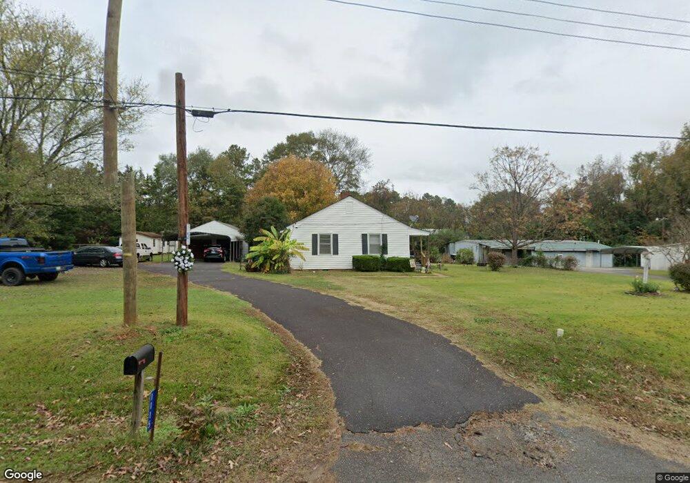
1115 Laurel Ave Lancaster, SC 29720
Estimated Value: $141,313 - $184,000
About This Home
This home is located at 1115 Laurel Ave, Lancaster, SC 29720 and is currently estimated at $163,828, approximately $162 per square foot. 1115 Laurel Ave is a home located in Lancaster County with nearby schools including Erwin Elementary School, South Middle School, and Lancaster High School.
Ownership History
We collect this data history from publicly available records. To have your information removed, we recommend requesting removal directly through your county’s website.
Purchase Details
Purchase Details
Home Financials for this Owner
Home Financials are based on the most recent Mortgage that was taken out on this home.Purchase Details
Home Values in the Area
Average Home Value in this Area
Purchase History
We collect this data history from publicly available records. To have your information removed, we recommend requesting removal directly through your county’s website.
| Date | Buyer | Sale Price | Title Company |
|---|---|---|---|
| -- | None Listed On Document | ||
| $68,000 | -- | ||
| -- | -- |
Mortgage History
We collect this data history from publicly available records. To have your information removed, we recommend requesting removal directly through your county’s website.
| Date | Status | Borrower | Loan Amount |
|---|---|---|---|
| Previous Owner | $60,700 |
Tax History
We collect this data history from publicly available records. To have your information removed, we recommend requesting removal directly through your county’s website.
| Year | Tax Paid | Tax Assessment Tax Assessment Total Assessment is a certain percentage of the fair market value that is determined by local assessors to be the total taxable value of land and additions on the property. | Land | Improvement |
|---|---|---|---|---|
| 2025 | $423 | $2,899 | $559 | $2,340 |
| 2024 | $80 | $2,520 | $532 | $1,988 |
| 2023 | $79 | $2,520 | $532 | $1,988 |
| 2022 | $79 | $2,520 | $532 | $1,988 |
| 2021 | $78 | $2,520 | $532 | $1,988 |
| 2020 | $60 | $2,388 | $532 | $1,856 |
| 2019 | $808 | $2,388 | $532 | $1,856 |
| 2018 | $778 | $2,388 | $532 | $1,856 |
| 2017 | $358 | $0 | $0 | $0 |
| 2016 | $349 | $0 | $0 | $0 |
| 2015 | $293 | $0 | $0 | $0 |
| 2014 | $293 | $0 | $0 | $0 |
| 2013 | $293 | $0 | $0 | $0 |
Map
- 1114 Grace Ave
- 968 Hampton Grace Ave
- 1324 Mason St
- 1250 Hampton Grace Ave
- 2022 Jack Robertson Ln
- 1481 Grace Ave
- 1428 Boxwood Ave
- 1523 Oakwood Ave
- 1519 Oakwood Ave
- 1217 Belmont Circle Dr
- 1704 Williams Cir
- 1797 Drywood Cir
- 1530 Danlee Dr
- 1795 Grace Ave
- 1337 Old Greenbriar Dr
- 1329 Old Greenbriar Dr
- 1666 Kim St
- 1746 Grace Ave Unit 1
- 1235 Branch St Unit 3
- 3285 Douglas Way Ln
- 1125 Laurel Ave
- 1101 Laurel Ave
- 1110 Laurel Ave
- 1134 Grace Ave
- 1122 Laurel Ave
- 1124 Grace Ave
- 1089 Laurel Ave
- 1090 Laurel Ave
- 1137 Grace Ave
- 1147 Grace Ave
- 1144 Laurel Ave
- 1144 Laurel Ave Unit 2
- 205 Grace Ave
- 1079 Laurel Ave
- 1127 Grace Ave
- 1174 Grace Ave
- 1151 Laurel Ave
- 1078 Laurel Ave
- 1117 Grace Ave
- 1104 Grace Ave
Ask me questions while you tour the home.