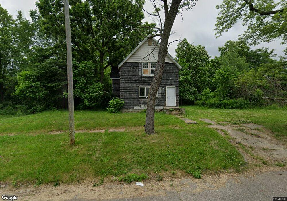
1115 Lyon St Flint, MI 48503
Downtown Flint NeighborhoodEstimated Value: $44,000 - $66,000
4
Beds
2
Baths
1,416
Sq Ft
$39/Sq Ft
Est. Value
About This Home
This home is located at 1115 Lyon St, Flint, MI 48503 and is currently estimated at $55,000, approximately $38 per square foot. 1115 Lyon St is a home located in Genesee County with nearby schools including Doyle/Ryder School, Flint Cultural Center Academy, and WAY Academy of Flint.
Ownership History
Date
Name
Owned For
Owner Type
Purchase Details
Closed on
Feb 26, 2024
Sold by
Genesee Cnty Land Bk Authority
Bought by
Ornelas Brandon Eliseo
Current Estimated Value
Purchase Details
Closed on
Dec 19, 2019
Sold by
Cherry Deborah L
Bought by
County Land Bank Authority
Purchase Details
Closed on
Oct 31, 2011
Sold by
Byp Llc
Bought by
Smith Tyron
Purchase Details
Closed on
Oct 19, 2009
Sold by
Peterson James and Peterson Beverly
Bought by
Smith Tyrone
Purchase Details
Closed on
Dec 12, 2005
Sold by
North Village Properties Inc
Bought by
Byp Llc
Create a Home Valuation Report for This Property
The Home Valuation Report is an in-depth analysis detailing your home's value as well as a comparison with similar homes in the area
Home Values in the Area
Average Home Value in this Area
Purchase History
| Date | Buyer | Sale Price | Title Company |
|---|---|---|---|
| Ornelas Brandon Eliseo | $2,500 | None Listed On Document | |
| County Land Bank Authority | -- | None Available | |
| Smith Tyron | $1,000 | None Available | |
| Smith Tyrone | -- | None Available | |
| Byp Llc | -- | None Available |
Source: Public Records
Tax History Compared to Growth
Tax History
| Year | Tax Paid | Tax Assessment Tax Assessment Total Assessment is a certain percentage of the fair market value that is determined by local assessors to be the total taxable value of land and additions on the property. | Land | Improvement |
|---|---|---|---|---|
| 2025 | $265 | $15,400 | $0 | $0 |
| 2024 | $265 | $0 | $0 | $0 |
| 2023 | -- | $0 | $0 | $0 |
| 2022 | $0 | $0 | $0 | $0 |
| 2021 | $0 | $0 | $0 | $0 |
| 2020 | $268 | $0 | $0 | $0 |
| 2019 | $402 | $8,300 | $0 | $0 |
| 2018 | $506 | $3,800 | $0 | $0 |
| 2017 | $501 | $0 | $0 | $0 |
| 2016 | $500 | $0 | $0 | $0 |
| 2015 | -- | $0 | $0 | $0 |
| 2014 | -- | $0 | $0 | $0 |
| 2012 | -- | $2,400 | $0 | $0 |
Source: Public Records
Map
Nearby Homes
- 1016 Garland St
- 217 W 7th Ave
- 1303 Root St
- 329 E Wood St
- 1606 Garland St
- 1409 Prospect St
- 235 Page St
- 416 W 2nd Ave Unit 4
- 407 W 2nd Ave
- 227 W 5th Ave Unit 3
- 1645 Seminole St
- 1717 Wolcott St
- 1802 Mackin Rd
- 325 W Paterson St
- 1813 Stevenson St
- 805 Columbia Dr
- 2001 Mackin Rd
- 1016 Dupont St
- 562 E Witherbee St
- 1017 Perry St