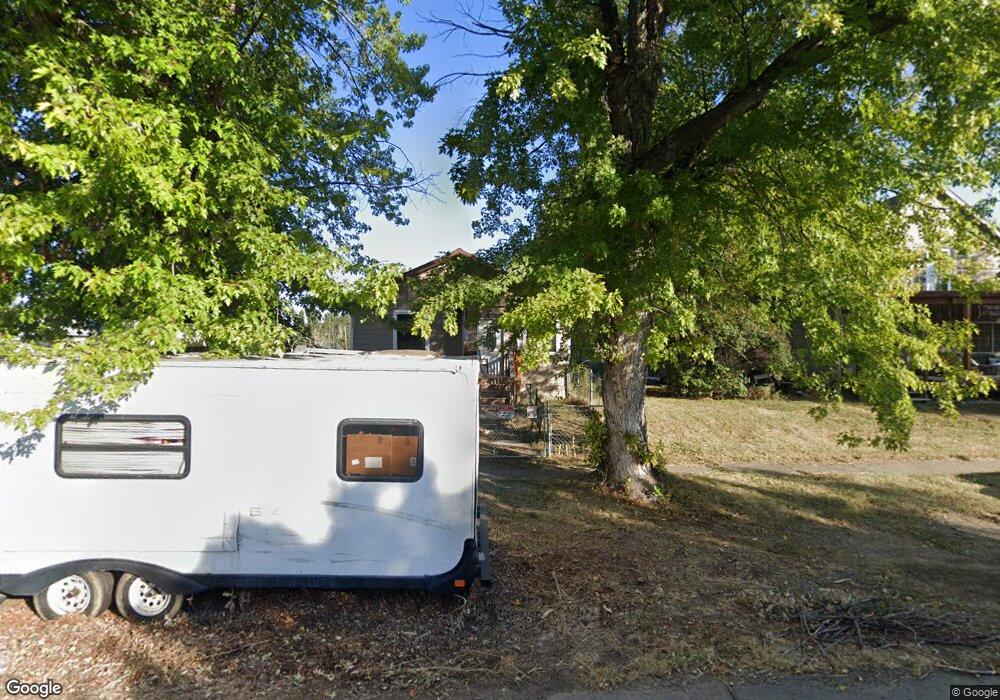
1115 Park St Forsyth, MT 59327
Estimated Value: $159,139 - $186,000
2
Beds
1
Bath
1,084
Sq Ft
$162/Sq Ft
Est. Value
About This Home
This home is located at 1115 Park St, Forsyth, MT 59327 and is currently estimated at $175,285, approximately $161 per square foot. 1115 Park St is a home with nearby schools including Forsyth Elementary School, Forsyth Junior High School, and Forsyth High School.
Ownership History
Date
Name
Owned For
Owner Type
Purchase Details
Closed on
Jun 2, 2022
Sold by
Umfleet Mark and Umfleet Dorian
Bought by
Gresens Neal A
Current Estimated Value
Home Financials for this Owner
Home Financials are based on the most recent Mortgage that was taken out on this home.
Original Mortgage
$138,105
Outstanding Balance
$131,688
Interest Rate
5.52%
Mortgage Type
Construction
Estimated Equity
$43,597
Purchase Details
Closed on
Oct 4, 2017
Sold by
Stroud Stephen E
Bought by
Umfleet Mark and Umfleet Dorian
Home Financials for this Owner
Home Financials are based on the most recent Mortgage that was taken out on this home.
Original Mortgage
$46,387
Interest Rate
3.86%
Mortgage Type
New Conventional
Purchase Details
Closed on
May 17, 2010
Sold by
Stroud Stephen E
Bought by
Stroud Stephen E
Create a Home Valuation Report for This Property
The Home Valuation Report is an in-depth analysis detailing your home's value as well as a comparison with similar homes in the area
Home Values in the Area
Average Home Value in this Area
Purchase History
| Date | Buyer | Sale Price | Title Company |
|---|---|---|---|
| Gresens Neal A | $135,342 | First American Title | |
| Umfleet Mark | $57,984 | Other | |
| Umfleet Mark | -- | None Available | |
| Stroud Stephen E | -- | -- |
Source: Public Records
Mortgage History
| Date | Status | Borrower | Loan Amount |
|---|---|---|---|
| Open | Gresens Neal A | $138,105 | |
| Previous Owner | Umfleet Mark | $46,387 |
Source: Public Records
Tax History Compared to Growth
Tax History
| Year | Tax Paid | Tax Assessment Tax Assessment Total Assessment is a certain percentage of the fair market value that is determined by local assessors to be the total taxable value of land and additions on the property. | Land | Improvement |
|---|---|---|---|---|
| 2025 | $1,369 | $130,700 | $0 | $0 |
| 2024 | $1,686 | $114,700 | $0 | $0 |
| 2023 | $1,540 | $114,700 | $0 | $0 |
| 2022 | $1,549 | $112,800 | $0 | $0 |
| 2021 | $1,414 | $112,800 | $0 | $0 |
| 2020 | $1,364 | $113,000 | $0 | $0 |
| 2019 | $1,343 | $113,000 | $0 | $0 |
| 2018 | $1,282 | $105,300 | $0 | $0 |
| 2017 | $585 | $115,800 | $0 | $0 |
| 2016 | $335 | $108,300 | $0 | $0 |
| 2015 | -- | $95,800 | $0 | $0 |
| 2014 | -- | $33,973 | $0 | $0 |
Source: Public Records
Map
Nearby Homes