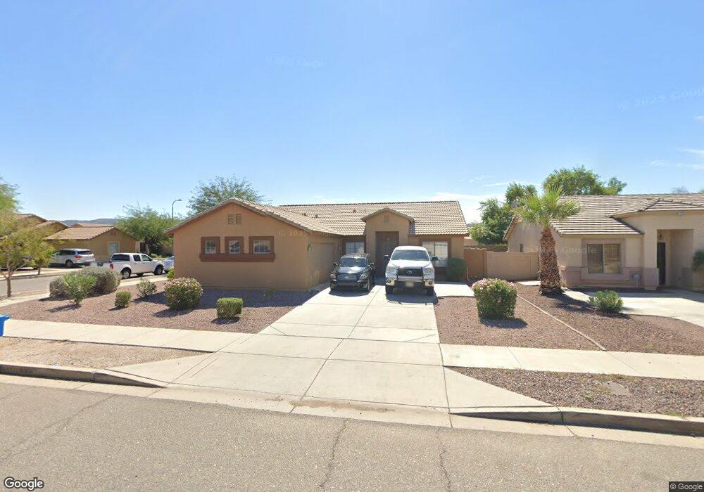
1115 W Darrel Rd Phoenix, AZ 85041
South Mountain NeighborhoodEstimated Value: $352,662 - $389,000
Studio
3
Baths
1,735
Sq Ft
$215/Sq Ft
Est. Value
About This Home
This home is located at 1115 W Darrel Rd, Phoenix, AZ 85041 and is currently estimated at $373,416, approximately $215 per square foot. 1115 W Darrel Rd is a home located in Maricopa County with nearby schools including V. H. Lassen Elementary School, Cesar Chavez High School, and Phoenix Coding Academy.
Ownership History
Date
Name
Owned For
Owner Type
Purchase Details
Closed on
Jun 22, 2005
Sold by
Pramana Kenneth and Soebianta Susanti
Bought by
Ftskaz Llc
Current Estimated Value
Purchase Details
Closed on
Jan 6, 2004
Sold by
Nina Development Llc
Bought by
Pramana Kenneth and Soebianta Susanti
Home Financials for this Owner
Home Financials are based on the most recent Mortgage that was taken out on this home.
Original Mortgage
$133,000
Interest Rate
5.86%
Mortgage Type
New Conventional
Create a Home Valuation Report for This Property
The Home Valuation Report is an in-depth analysis detailing your home's value as well as a comparison with similar homes in the area
Home Values in the Area
Average Home Value in this Area
Purchase History
| Date | Buyer | Sale Price | Title Company |
|---|---|---|---|
| Ftskaz Llc | -- | -- | |
| Pramana Kenneth | $140,020 | Fidelity National Title |
Source: Public Records
Mortgage History
| Date | Status | Borrower | Loan Amount |
|---|---|---|---|
| Previous Owner | Pramana Kenneth | $133,000 |
Source: Public Records
Tax History
| Year | Tax Paid | Tax Assessment Tax Assessment Total Assessment is a certain percentage of the fair market value that is determined by local assessors to be the total taxable value of land and additions on the property. | Land | Improvement |
|---|---|---|---|---|
| 2025 | $1,620 | $10,743 | -- | -- |
| 2024 | $1,533 | $10,231 | -- | -- |
| 2023 | $1,533 | $27,600 | $5,520 | $22,080 |
| 2022 | $1,502 | $20,200 | $4,040 | $16,160 |
| 2021 | $1,533 | $18,910 | $3,780 | $15,130 |
| 2020 | $1,514 | $16,750 | $3,350 | $13,400 |
| 2019 | $1,465 | $15,070 | $3,010 | $12,060 |
| 2018 | $1,426 | $15,030 | $3,000 | $12,030 |
| 2017 | $1,359 | $13,410 | $2,680 | $10,730 |
| 2016 | $1,292 | $11,910 | $2,380 | $9,530 |
| 2015 | $1,216 | $10,060 | $2,010 | $8,050 |
Source: Public Records
Map
Nearby Homes
- 1116 W Maldonado Rd
- 6905 S 9th Ave Unit 12
- 1218 W Park St
- 910 W Saint Anne Ave
- 716 W Fremont Rd Unit 65
- 1550 W Saint Kateri Dr
- 1627 W Maldonado Rd
- 7511 S 12th Ave
- 7014 S 17th Ave
- 7015 S 5th Ave
- 1124 W Nancy Ln
- 6645 S 5th Ave
- 7307 S 17th Dr
- 314 W Minton St
- 402 W Darrow St
- 1616 W Burgess Ln
- 6401 S 4th Ave
- 736 W Harwell Rd
- 1824 W Lydia Ln
- 1838 W Alta Vista Rd
- 1119 W Darrel Rd
- 1114 W Shumway Farm Rd
- 1201 W Darrel Rd
- 1118 W Shumway Farm Rd
- 6909 S 11th Dr
- 6905 S 11th Dr
- 6913 S 11th Dr
- 1122 W Shumway Farm Rd
- 1116 W Darrel Rd
- 1205 W Darrel Rd
- 1120 W Darrel Rd
- 1112 W Darrel Rd
- 6917 S 11th Dr
- 6901 S 11th Dr
- 1202 W Darrel Rd
- 1202 W Shumway Farm Rd
- 6921 S 11th Dr
- 1209 W Darrel Rd
- 1206 W Darrel Rd
- 1206 W Shumway Farm Rd