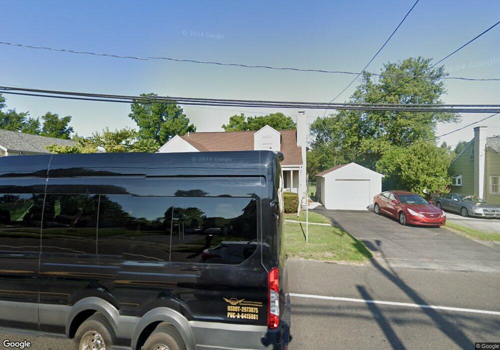
1116 Brookside Rd Allentown, PA 18106
Estimated Value: $343,153 - $392,000
3
Beds
2
Baths
1,147
Sq Ft
$323/Sq Ft
Est. Value
About This Home
This home is located at 1116 Brookside Rd, Allentown, PA 18106 and is currently estimated at $370,288, approximately $322 per square foot. 1116 Brookside Rd is a home located in Lehigh County with nearby schools including Wescosville Elementary School, Lower Macungie Middle School, and Emmaus High School.
Ownership History
Date
Name
Owned For
Owner Type
Purchase Details
Closed on
Jul 28, 1988
Sold by
Wieand Edward J and Wieand Sandra L
Bought by
Yany Martin J and Yany Heather A
Current Estimated Value
Purchase Details
Closed on
Jul 6, 1979
Bought by
Wieand Edward J and Wieand Sandra L
Create a Home Valuation Report for This Property
The Home Valuation Report is an in-depth analysis detailing your home's value as well as a comparison with similar homes in the area
Home Values in the Area
Average Home Value in this Area
Purchase History
| Date | Buyer | Sale Price | Title Company |
|---|---|---|---|
| Yany Martin J | $103,500 | -- | |
| Wieand Edward J | -- | -- |
Source: Public Records
Tax History Compared to Growth
Tax History
| Year | Tax Paid | Tax Assessment Tax Assessment Total Assessment is a certain percentage of the fair market value that is determined by local assessors to be the total taxable value of land and additions on the property. | Land | Improvement |
|---|---|---|---|---|
| 2025 | $3,786 | $148,300 | $40,400 | $107,900 |
| 2024 | $3,663 | $148,300 | $40,400 | $107,900 |
| 2023 | $3,590 | $148,300 | $40,400 | $107,900 |
| 2022 | $3,505 | $148,300 | $107,900 | $40,400 |
| 2021 | $3,430 | $148,300 | $40,400 | $107,900 |
| 2020 | $3,398 | $148,300 | $40,400 | $107,900 |
| 2019 | $3,340 | $148,300 | $40,400 | $107,900 |
| 2018 | $3,296 | $148,300 | $40,400 | $107,900 |
| 2017 | $3,238 | $148,300 | $40,400 | $107,900 |
| 2016 | -- | $148,300 | $40,400 | $107,900 |
| 2015 | -- | $148,300 | $40,400 | $107,900 |
| 2014 | -- | $148,300 | $40,400 | $107,900 |
Source: Public Records
Map
Nearby Homes
- 4881 Spruce Rd
- 5300 Hanover Dr
- 997 Village Round Unit K
- 997K Village Round Unit 104K
- 1037 Village Round Unit L
- 1385 Brookside Rd
- 4626 N Hedgerow Dr
- 1270 Minesite Rd
- 1045 Barnside Rd
- 5475 Hamilton Blvd Unit 7
- 5524 Stonecroft Ln
- 5133 Meadow Ln
- 5619 Stonecroft Ln
- 5673 Wedge Ln
- 5280 Townsquare Dr
- 1675 Hamlet Dr
- 5736 Greens Dr
- 5175 Meadowview Dr
- 6126 Palomino Dr
- 1991 Autumn Ridge Rd
- 1104 Brookside Rd
- 1138 Brookside Rd
- 1090 Brookside Rd
- 5081 Hanover Dr
- 1082 Brookside Rd
- 1123 Brookside Rd
- 1135 N Brookside Rd
- 1135 Brookside Rd
- 5105 Hanover Dr
- 1145 Brookside Rd
- 1011 Brookside Rd Unit 155D
- 1011 Brookside Rd Unit 155F
- 1011 Brookside Rd Unit 155C
- 1011 Brookside Rd Unit 155A
- 1011 Brookside Rd Unit Suite 200
- 1011 Brookside Rd Unit Suite 110
- 1011 Brookside Rd Unit Suite 102
- 1011 Brookside Rd Unit 150
- 1013 N Brookside Rd Unit 201
- 1013 Brookside Rd Unit 107