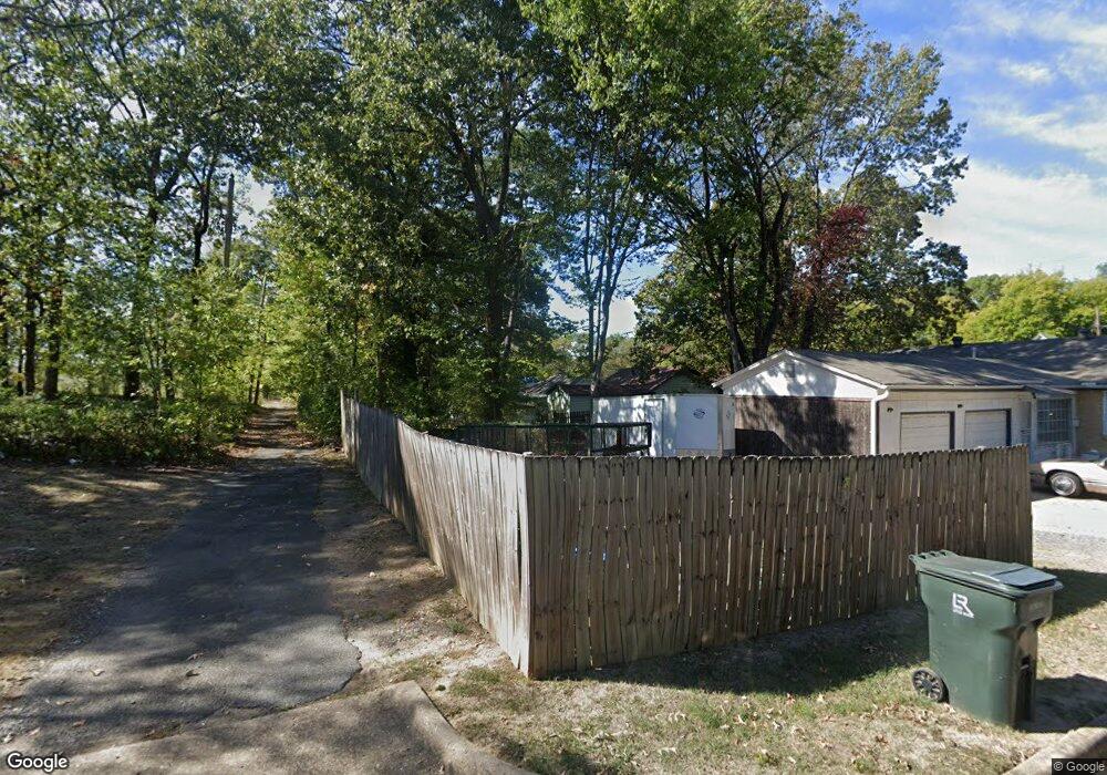
1116 Peyton St Little Rock, AR 72204
Capitol View NeighborhoodEstimated Value: $79,000 - $114,000
--
Bed
--
Bath
1,024
Sq Ft
$97/Sq Ft
Est. Value
About This Home
This home is located at 1116 Peyton St, Little Rock, AR 72204 and is currently estimated at $99,297, approximately $96 per square foot. 1116 Peyton St is a home located in Pulaski County with nearby schools including Stephens Elementary School, Pulaski Heights Middle School, and Central High School.
Ownership History
Date
Name
Owned For
Owner Type
Purchase Details
Closed on
Feb 3, 2016
Sold by
Commissioner Of State Lands
Bought by
Spradlin Harold G
Current Estimated Value
Purchase Details
Closed on
Sep 22, 2004
Sold by
Smith Leotriest and Smith Mayola
Bought by
Cooper Shawnitha L
Home Financials for this Owner
Home Financials are based on the most recent Mortgage that was taken out on this home.
Original Mortgage
$47,250
Interest Rate
10.74%
Mortgage Type
Purchase Money Mortgage
Create a Home Valuation Report for This Property
The Home Valuation Report is an in-depth analysis detailing your home's value as well as a comparison with similar homes in the area
Home Values in the Area
Average Home Value in this Area
Purchase History
| Date | Buyer | Sale Price | Title Company |
|---|---|---|---|
| Spradlin Harold G | -- | None Available | |
| Cooper Shawnitha L | $53,000 | Professional Land Title Comp |
Source: Public Records
Mortgage History
| Date | Status | Borrower | Loan Amount |
|---|---|---|---|
| Previous Owner | Cooper Shawnitha L | $47,250 | |
| Closed | Cooper Shawnitha L | $5,250 |
Source: Public Records
Tax History Compared to Growth
Tax History
| Year | Tax Paid | Tax Assessment Tax Assessment Total Assessment is a certain percentage of the fair market value that is determined by local assessors to be the total taxable value of land and additions on the property. | Land | Improvement |
|---|---|---|---|---|
| 2025 | $68 | $965 | $800 | $165 |
| 2024 | $64 | $965 | $800 | $165 |
| 2023 | $64 | $965 | $800 | $165 |
| 2022 | $59 | $965 | $800 | $165 |
| 2021 | $54 | $760 | $600 | $160 |
| 2020 | $53 | $760 | $600 | $160 |
| 2019 | $53 | $760 | $600 | $160 |
| 2018 | $53 | $760 | $600 | $160 |
| 2017 | $53 | $760 | $600 | $160 |
| 2016 | $97 | $1,380 | $1,380 | $0 |
| 2015 | $97 | $1,380 | $1,380 | $0 |
| 2014 | $97 | $1,380 | $1,380 | $0 |
Source: Public Records
Map
Nearby Homes
- 1019 Adams St
- 1320 Abigail St
- 1320 Adams St
- 1420 Washington St
- 4101 W 13th St
- 822 S Elm St
- 4512 W 16th St
- 4207 W 15th St
- 4613 W 16th St
- 4216 W 17th St
- 1510 S Cedar St
- 904 S Oak St
- 1610 S Cedar St
- 1712 Pinewood Dr
- 3724 W 10th St
- 3715 W 12th St
- 903 S Oak St
- 3709 W 12th St
- 1809 Princeton Dr
- 3705 W 12th St
- 1118 Peyton St
- 1124 Peyton St
- 4405 W 11th St
- 4416 W 12th St
- 4401 W 11th St
- 4409 W 11th St
- 4413 W 11th St
- 4323 W 11th St
- 4417 W 11th St
- 4320 W 12th St
- 4321 W 11th St
- 1109 Washington St
- 4423 W 11th St
- 1123 Washington St
- 4316 W 12th St
- 4319 W 11th St
- 4325 W 12th St
- 4425 W 11th St
- 4406 W 11th St
- 4400 W 11th St