Estimated Value: $281,580 - $362,000
4
Beds
1
Bath
1,629
Sq Ft
$193/Sq Ft
Est. Value
About This Home
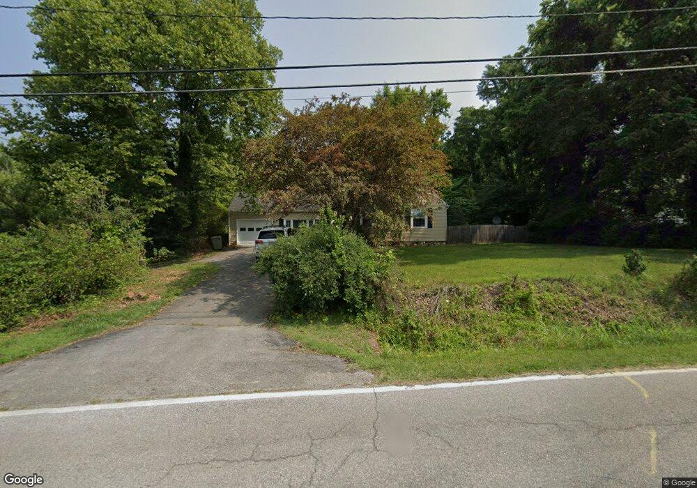
This home is located at 1117 N Mill Rd, Salem, VA 24153 and is currently estimated at $313,895, approximately $192 per square foot. 1117 N Mill Rd is a home located in Salem City with nearby schools including G.W. Carver Elementary School, Andrew Lewis Middle School, and Salem High School.
Ownership History
Date
Name
Owned For
Owner Type
Purchase Details
Closed on
May 18, 2005
Sold by
Keadle Mark A
Bought by
Gibson Robert S and Gibson Amanda G
Current Estimated Value
Home Financials for this Owner
Home Financials are based on the most recent Mortgage that was taken out on this home.
Original Mortgage
$27,800
Outstanding Balance
$14,486
Interest Rate
5.83%
Mortgage Type
Stand Alone Second
Estimated Equity
$299,409
Create a Home Valuation Report for This Property
The Home Valuation Report is an in-depth analysis detailing your home's value as well as a comparison with similar homes in the area
Home Values in the Area
Average Home Value in this Area
Purchase History
| Date | Buyer | Sale Price | Title Company |
|---|---|---|---|
| Gibson Robert S | $139,000 | None Available |
Source: Public Records
Mortgage History
| Date | Status | Borrower | Loan Amount |
|---|---|---|---|
| Open | Gibson Robert S | $27,800 |
Source: Public Records
Tax History
| Year | Tax Paid | Tax Assessment Tax Assessment Total Assessment is a certain percentage of the fair market value that is determined by local assessors to be the total taxable value of land and additions on the property. | Land | Improvement |
|---|---|---|---|---|
| 2025 | $1,302 | $220,700 | $48,400 | $172,300 |
| 2024 | $1,225 | $204,200 | $46,700 | $157,500 |
| 2023 | $2,135 | $177,900 | $44,000 | $133,900 |
| 2022 | $1,981 | $165,100 | $37,400 | $127,700 |
| 2021 | $1,896 | $158,000 | $35,700 | $122,300 |
| 2020 | $1,858 | $154,800 | $35,700 | $119,100 |
| 2019 | $1,824 | $152,000 | $35,700 | $116,300 |
| 2018 | $1,777 | $150,600 | $35,700 | $114,900 |
| 2017 | $1,625 | $137,700 | $35,700 | $102,000 |
| 2016 | $1,625 | $137,700 | $35,700 | $102,000 |
| 2015 | $1,598 | $135,400 | $36,500 | $98,900 |
| 2014 | $1,598 | $135,400 | $36,500 | $98,900 |
Source: Public Records
Map
Nearby Homes
- 712 Doyle St
- 332 Woodside Dr
- 328 Woodside Dr
- 324 Woodside Dr
- 512 Parkdale Dr
- 1000 BLK Polar Ln
- 1060 Kessler Mill Rd
- 316 Polar Ln
- 205 Northern Trail
- 700 N Stonewall St
- 1639 Sunset Ave
- 1720 Millbrook St
- 5572 Ambassador Dr
- 400 Walnut Rd
- 0 Barnett Cir NW Unit B
- 0 Barnett Cir NW Unit A
- 220 Craig Ave
- 5141 Youngwood Dr NW
- 5813 Wayburn Dr
- 1766 Laurel Mountain Dr
Your Personal Tour Guide
Ask me questions while you tour the home.