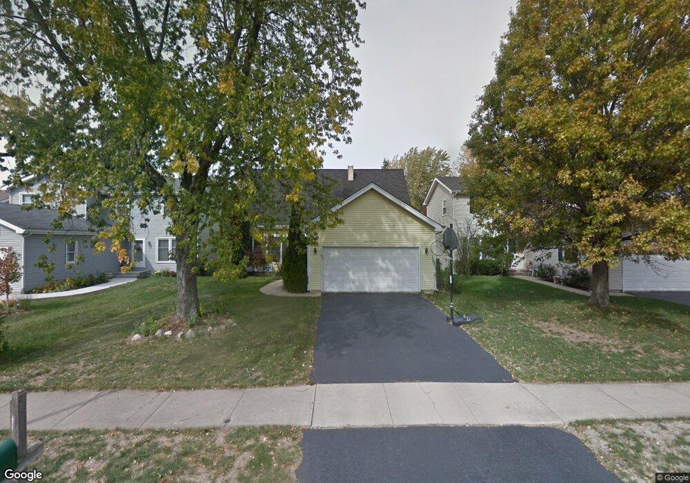
1117 Needham Rd Naperville, IL 60563
Springhill NeighborhoodEstimated Value: $409,500 - $477,000
Studio
--
Bath
1,731
Sq Ft
$253/Sq Ft
Est. Value
About This Home
This home is located at 1117 Needham Rd, Naperville, IL 60563 and is currently estimated at $438,625, approximately $253 per square foot. 1117 Needham Rd is a home located in DuPage County with nearby schools including Ellsworth Elementary School, Washington Jr High School, and Naperville North High School.
Ownership History
Date
Name
Owned For
Owner Type
Purchase Details
Closed on
Oct 22, 1998
Sold by
Pittard Scott and Pittard Donna W
Bought by
Prebys Christopher and Prebys Gretchen
Current Estimated Value
Home Financials for this Owner
Home Financials are based on the most recent Mortgage that was taken out on this home.
Original Mortgage
$151,900
Outstanding Balance
$32,741
Interest Rate
6.72%
Estimated Equity
$405,884
Purchase Details
Closed on
Jul 22, 1994
Sold by
Dublinski William J and Dublinski Eudora O
Bought by
Pittard Scott and Pittard Donna W
Home Financials for this Owner
Home Financials are based on the most recent Mortgage that was taken out on this home.
Original Mortgage
$135,300
Interest Rate
7.25%
Create a Home Valuation Report for This Property
The Home Valuation Report is an in-depth analysis detailing your home's value as well as a comparison with similar homes in the area
Home Values in the Area
Average Home Value in this Area
Purchase History
| Date | Buyer | Sale Price | Title Company |
|---|---|---|---|
| Prebys Christopher | $160,000 | -- | |
| Pittard Scott | $142,500 | -- |
Source: Public Records
Mortgage History
| Date | Status | Borrower | Loan Amount |
|---|---|---|---|
| Open | Prebys Christopher | $151,900 | |
| Previous Owner | Pittard Scott | $135,300 |
Source: Public Records
Tax History
| Year | Tax Paid | Tax Assessment Tax Assessment Total Assessment is a certain percentage of the fair market value that is determined by local assessors to be the total taxable value of land and additions on the property. | Land | Improvement |
|---|---|---|---|---|
| 2024 | $6,811 | $119,179 | $50,731 | $68,448 |
| 2023 | $6,548 | $108,770 | $46,300 | $62,470 |
| 2022 | $6,155 | $101,110 | $43,040 | $58,070 |
| 2021 | $5,925 | $97,280 | $41,410 | $55,870 |
| 2020 | $5,797 | $95,540 | $40,670 | $54,870 |
| 2019 | $5,622 | $91,410 | $38,910 | $52,500 |
| 2018 | $5,392 | $87,890 | $37,410 | $50,480 |
| 2017 | $5,278 | $84,930 | $36,150 | $48,780 |
| 2016 | $5,167 | $81,860 | $34,840 | $47,020 |
| 2015 | $5,125 | $77,090 | $32,810 | $44,280 |
| 2014 | $5,085 | $74,320 | $31,630 | $42,690 |
| 2013 | $5,009 | $74,500 | $31,710 | $42,790 |
Source: Public Records
Map
Nearby Homes
- 941 Coletta Cir
- 906 Coletta Cir
- 825 Biltmore Ct
- 25W313 Mayflower Ave
- 1111 Samstag Ct
- 634 E 5th Ave
- 596 Windham Ln
- 1165 Dickens Ave
- 5S661 Wright St
- 340 N Wright St
- 26W250 Case St
- 1437 N Charles Ave
- 5S365 Vest Ave
- 24 S Huffman St
- 930 N Loomis St
- 6S241 Concord Rd
- 952 N Loomis St
- 837 N Loomis St
- 932 E Chicago Ave
- 5 N Columbia St
- 1115 Needham Rd
- 1119 Needham Rd
- 1113 Needham Rd
- 1118 Greensfield Dr
- 1121 Needham Rd
- 1120 Greensfield Dr
- 1111 Needham Rd
- 1114 Greensfield Dr
- 1122 Greensfield Dr
- 1123 Needham Rd Unit 1
- 1112 Greensfield Dr
- 1114 Needham Rd
- 1116 Needham Rd
- 1118 Needham Rd
- 1124 Greensfield Dr
- 1112 Needham Rd
- 1120 Needham Rd
- 1125 Needham Rd
- 1110 Greensfield Dr
- 1110 Needham Rd
Your Personal Tour Guide
Ask me questions while you tour the home.