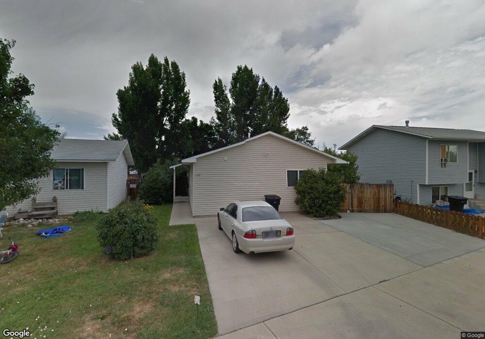
1117 Rays Ln Billings, MT 59101
East Central Billings NeighborhoodEstimated Value: $247,000 - $275,902
3
Beds
2
Baths
1,040
Sq Ft
$256/Sq Ft
Est. Value
About This Home
This home is located at 1117 Rays Ln, Billings, MT 59101 and is currently estimated at $265,976, approximately $255 per square foot. 1117 Rays Ln is a home located in Yellowstone County with nearby schools including Washington School, Lewis & Clark Junior High School, and Billings West High School.
Ownership History
Date
Name
Owned For
Owner Type
Purchase Details
Closed on
Jul 10, 2024
Sold by
Widdicombe Kyle R and Widdicombe Charley Z
Bought by
Reed George and Notafraid Cara
Current Estimated Value
Home Financials for this Owner
Home Financials are based on the most recent Mortgage that was taken out on this home.
Original Mortgage
$10,000
Outstanding Balance
$9,881
Interest Rate
7.03%
Estimated Equity
$256,095
Purchase Details
Closed on
Feb 22, 2017
Sold by
Peterson Tawney M
Bought by
Widdicombe Kyle R and Widdicombe Charley Z
Home Financials for this Owner
Home Financials are based on the most recent Mortgage that was taken out on this home.
Original Mortgage
$141,293
Interest Rate
4.75%
Mortgage Type
FHA
Create a Home Valuation Report for This Property
The Home Valuation Report is an in-depth analysis detailing your home's value as well as a comparison with similar homes in the area
Home Values in the Area
Average Home Value in this Area
Purchase History
| Date | Buyer | Sale Price | Title Company |
|---|---|---|---|
| Reed George | -- | Chicago Title | |
| Widdicombe Kyle R | -- | American Title & Escrow |
Source: Public Records
Mortgage History
| Date | Status | Borrower | Loan Amount |
|---|---|---|---|
| Open | Reed George | $10,000 | |
| Open | Reed George | $254,308 | |
| Previous Owner | Widdicombe Kyle R | $141,293 |
Source: Public Records
Tax History
| Year | Tax Paid | Tax Assessment Tax Assessment Total Assessment is a certain percentage of the fair market value that is determined by local assessors to be the total taxable value of land and additions on the property. | Land | Improvement |
|---|---|---|---|---|
| 2025 | $1,892 | $242,900 | $38,286 | $204,614 |
| 2024 | $1,892 | $193,800 | $37,407 | $156,393 |
| 2023 | $1,929 | $193,800 | $37,407 | $156,393 |
| 2022 | $1,463 | $155,000 | $0 | $0 |
| 2021 | $1,710 | $155,000 | $0 | $0 |
| 2020 | $1,701 | $149,500 | $0 | $0 |
| 2019 | $1,625 | $149,500 | $0 | $0 |
| 2018 | $1,636 | $148,300 | $0 | $0 |
| 2017 | $1,373 | $148,300 | $0 | $0 |
| 2016 | $1,406 | $131,600 | $0 | $0 |
| 2015 | $1,375 | $131,600 | $0 | $0 |
| 2014 | $1,177 | $58,936 | $0 | $0 |
Source: Public Records
Map
Nearby Homes
- 336 Foster Ln
- 226 Moore Ln
- 1204 Eldorado Dr
- 43 Prickett Ln
- 307 S Billings Blvd Unit 24
- 307 S Billings Blvd Unit 36
- 1245 Cook Ave
- 1315 Cook Ave
- 947 Howard Ave
- 1120 Miles Ave
- 632 Saint Johns Ave Unit 8
- 4531 Phillip St
- 1141 Terry Ave
- 4429 Clevenger Ave
- 1326 Custer Ave
- 1342 Custer Ave
- 708 Terry Ave
- 4413 Ryan Ave
- 449 Orchard Ln
- 1009 Wyoming Ave
Your Personal Tour Guide
Ask me questions while you tour the home.