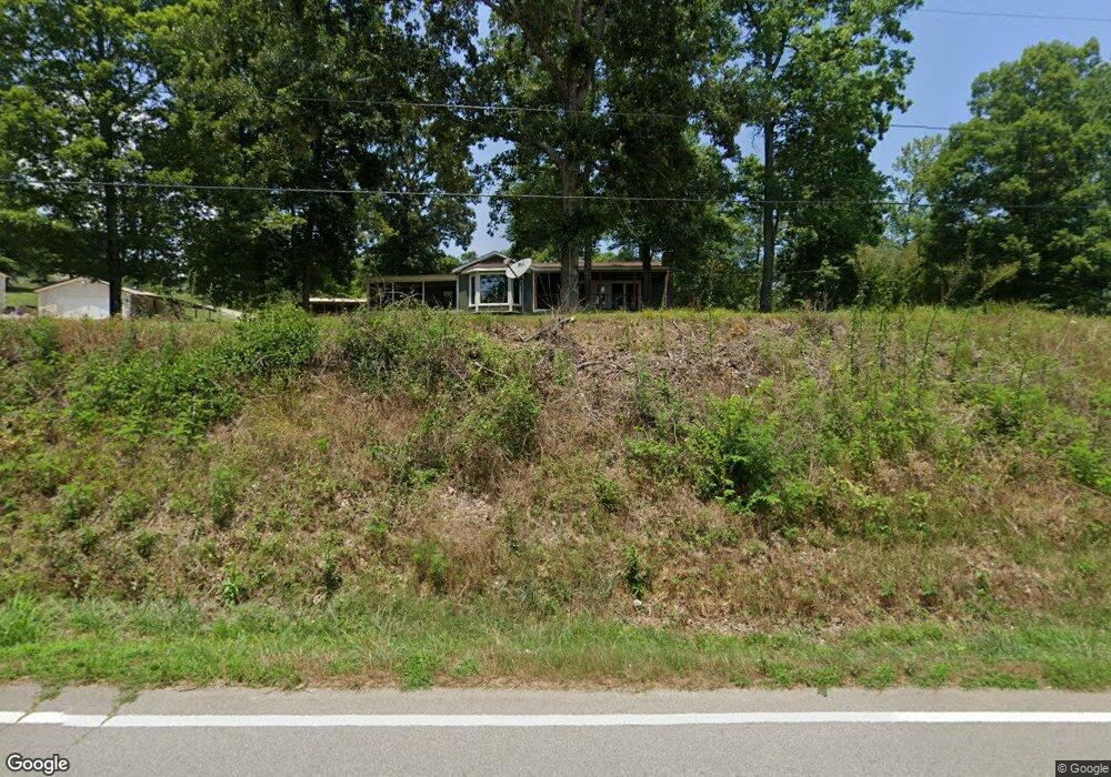
11172 Highway 147 Stewart, TN 37175
Estimated Value: $156,000 - $363,000
--
Bed
1
Bath
816
Sq Ft
$264/Sq Ft
Est. Value
About This Home
This home is located at 11172 Highway 147, Stewart, TN 37175 and is currently estimated at $215,759, approximately $264 per square foot. 11172 Highway 147 is a home located in Houston County.
Ownership History
Date
Name
Owned For
Owner Type
Purchase Details
Closed on
Dec 13, 2024
Sold by
Reed Patricia A
Bought by
Dawson Michael Blake and Dawson Charlena Deann
Current Estimated Value
Home Financials for this Owner
Home Financials are based on the most recent Mortgage that was taken out on this home.
Original Mortgage
$144,000
Outstanding Balance
$142,852
Interest Rate
6.72%
Mortgage Type
New Conventional
Estimated Equity
$72,907
Purchase Details
Closed on
Sep 30, 2016
Sold by
Shaver Larry C
Bought by
Reed Patricia A
Purchase Details
Closed on
Feb 3, 2000
Bought by
Shaver Larry C and Shaver Geraldine H
Purchase Details
Closed on
Jan 17, 1997
Bought by
Rye Cass & Associates Inc
Purchase Details
Closed on
Apr 27, 1973
Bought by
Howell Kennard P
Purchase Details
Closed on
Feb 23, 1973
Create a Home Valuation Report for This Property
The Home Valuation Report is an in-depth analysis detailing your home's value as well as a comparison with similar homes in the area
Home Values in the Area
Average Home Value in this Area
Purchase History
| Date | Buyer | Sale Price | Title Company |
|---|---|---|---|
| Dawson Michael Blake | $160,000 | Limestone Title | |
| Reed Patricia A | $90,000 | -- | |
| Shaver Larry C | $40,000 | -- | |
| Rye Cass & Associates Inc | $3,000 | -- | |
| Howell Kennard P | -- | -- | |
| -- | $2,000 | -- |
Source: Public Records
Mortgage History
| Date | Status | Borrower | Loan Amount |
|---|---|---|---|
| Open | Dawson Michael Blake | $144,000 |
Source: Public Records
Tax History Compared to Growth
Tax History
| Year | Tax Paid | Tax Assessment Tax Assessment Total Assessment is a certain percentage of the fair market value that is determined by local assessors to be the total taxable value of land and additions on the property. | Land | Improvement |
|---|---|---|---|---|
| 2024 | $532 | $29,875 | $1,575 | $28,300 |
| 2023 | $532 | $29,875 | $1,575 | $28,300 |
| 2022 | $476 | $17,000 | $1,075 | $15,925 |
| 2021 | $476 | $17,000 | $1,075 | $15,925 |
| 2020 | $502 | $17,000 | $1,075 | $15,925 |
| 2019 | $502 | $15,750 | $1,550 | $14,200 |
| 2018 | $502 | $15,750 | $1,550 | $14,200 |
| 2017 | $502 | $15,750 | $1,550 | $14,200 |
| 2016 | $502 | $15,750 | $1,550 | $14,200 |
| 2015 | $502 | $15,750 | $1,550 | $14,200 |
| 2014 | -- | $15,762 | $0 | $0 |
Source: Public Records
Map
Nearby Homes
- 11175 Highway 147
- 372 Cheree Loop
- 79 Overlook Ln
- 71 Overlook Ln
- 67 Overlook Ln
- 85 Lakeview Ln
- 0 Overlook Trail
- 10120 Highway 147
- 0 Rocky Point Rd Unit RTC2700425
- 0 Day Cemetery Ln
- 0 Highway 232 Unit 25510404
- 35 Airport Ln
- 0 Lake Ridge Dr Unit RTC3017496
- 78 Vista Ridge Dr
- 0 Vista Ridge Dr
- 33 Vista Ridge Dr
- 1025 Vista Ridge Dr
- 27 Vista Ridge Dr
- 943 Overlook Trail
- 8955 Tennessee 147
- 11172 Highway 147
- 11172 Tennessee 147
- 11187 Highway 147
- 11211 Highway 147
- 11212 Highway 147
- 14 Cheree Loop
- 15 Welcome Ln
- 20 Welcome Ln
- 115 Southernaire Loop
- 10964 Highway 147 Unit 10964
- 65 Welcome Ln
- 135 Southernaire Loop
- 170 Cheree Loop
- 85 Welcome Ln
- 155 Southernaire Loop
- 90 Welcome Ln
- 205 Southernaire Loop
- 250 Cheree Loop
- 245 Cheree Loop
- 256 Cheree Loop